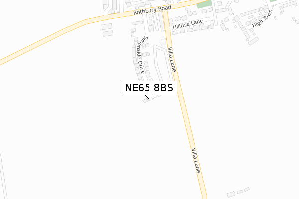
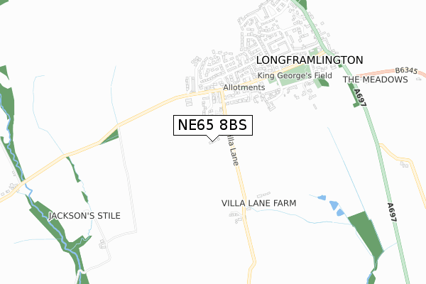
NE65 8BS is located in the Shilbottle electoral ward, within the unitary authority of Northumberland and the English Parliamentary constituency of Berwick-upon-Tweed. The Sub Integrated Care Board (ICB) Location is NHS North East and North Cumbria ICB - 00L and the police force is Northumbria. This postcode has been in use since September 2018.


GetTheData
Source: OS Open Zoomstack (Ordnance Survey)
Licence: Open Government Licence (requires attribution)
Attribution: Contains OS data © Crown copyright and database right 2024
Source: Open Postcode Geo
Licence: Open Government Licence (requires attribution)
Attribution: Contains OS data © Crown copyright and database right 2024; Contains Royal Mail data © Royal Mail copyright and database right 2024; Source: Office for National Statistics licensed under the Open Government Licence v.3.0
| Easting | 412513 |
| Northing | 600471 |
| Latitude | 55.298193 |
| Longitude | -1.804488 |
GetTheData
Source: Open Postcode Geo
Licence: Open Government Licence
| Country | England |
| Postcode District | NE65 |
| ➜ NE65 open data dashboard ➜ See where NE65 is on a map ➜ Where is Longframlington? | |
GetTheData
Source: Land Registry Price Paid Data
Licence: Open Government Licence
| Ward | Shilbottle |
| Constituency | Berwick-upon-tweed |
GetTheData
Source: ONS Postcode Database
Licence: Open Government Licence
1, VALLEY VIEW, LONGFRAMLINGTON, MORPETH, NE65 8BS 2019 26 APR £239,950 |
➜ Longframlington house prices
GetTheData
Source: HM Land Registry Price Paid Data
Licence: Contains HM Land Registry data © Crown copyright and database right 2024. This data is licensed under the Open Government Licence v3.0.
| June 2022 | Violence and sexual offences | On or near Cheviot Lodge | 378m |
| April 2022 | Violence and sexual offences | On or near Hillrise Lane | 284m |
| March 2022 | Violence and sexual offences | On or near Hillrise Lane | 284m |
| ➜ Get more crime data in our Crime section | |||
GetTheData
Source: data.police.uk
Licence: Open Government Licence
| Cheviot Lodge (Rothbury Road) | Longframlington | 334m |
| Cheviot Lodge (Rothbury Road) | Longframlington | 343m |
| Church Street (Rothbury Road) | Longframlington | 576m |
| Church Street (Rothbury Road) | Longframlington | 599m |
| St Mary's Church (Rothbury Road) | Longframlington | 767m |
GetTheData
Source: NaPTAN
Licence: Open Government Licence
| Percentage of properties with Next Generation Access | 100.0% |
| Percentage of properties with Superfast Broadband | 100.0% |
| Percentage of properties with Ultrafast Broadband | 100.0% |
| Percentage of properties with Full Fibre Broadband | 100.0% |
Superfast Broadband is between 30Mbps and 300Mbps
Ultrafast Broadband is > 300Mbps
| Percentage of properties unable to receive 2Mbps | 0.0% |
| Percentage of properties unable to receive 5Mbps | 0.0% |
| Percentage of properties unable to receive 10Mbps | 0.0% |
| Percentage of properties unable to receive 30Mbps | 0.0% |
GetTheData
Source: Ofcom
Licence: Ofcom Terms of Use (requires attribution)
GetTheData
Source: ONS Postcode Database
Licence: Open Government Licence

➜ Get more ratings from the Food Standards Agency
GetTheData
Source: Food Standards Agency
Licence: FSA terms & conditions
| Last Collection | |||
|---|---|---|---|
| Location | Mon-Fri | Sat | Distance |
| Carn View | 16:45 | 09:00 | 340m |
| Church Street | 16:45 | 09:15 | 603m |
| North End | 16:45 | 09:00 | 1,490m |
GetTheData
Source: Dracos
Licence: Creative Commons Attribution-ShareAlike
| Facility | Distance |
|---|---|
| Percy Wood Golf And Country Retreat Swarland, Morpeth Golf | 4.6km |
| Linden Hall Golf And Country Club Longhorsley, Morpeth Health and Fitness Gym, Swimming Pool, Golf, Outdoor Tennis Courts | 4.8km |
| Vyner Park Old Park Road, Swarland, Morpeth Grass Pitches, Outdoor Tennis Courts | 4.9km |
GetTheData
Source: Active Places
Licence: Open Government Licence
| School | Phase of Education | Distance |
|---|---|---|
| Swarland Primary School Leamington Lane, Felton, Morpeth, NE65 9JP | Primary | 5.2km |
GetTheData
Source: Edubase
Licence: Open Government Licence
The below table lists the International Territorial Level (ITL) codes (formerly Nomenclature of Territorial Units for Statistics (NUTS) codes) and Local Administrative Units (LAU) codes for NE65 8BS:
| ITL 1 Code | Name |
|---|---|
| TLC | North East (England) |
| ITL 2 Code | Name |
| TLC2 | Northumberland, and Tyne and Wear |
| ITL 3 Code | Name |
| TLC21 | Northumberland |
| LAU 1 Code | Name |
| E06000057 | Northumberland |
GetTheData
Source: ONS Postcode Directory
Licence: Open Government Licence
The below table lists the Census Output Area (OA), Lower Layer Super Output Area (LSOA), and Middle Layer Super Output Area (MSOA) for NE65 8BS:
| Code | Name | |
|---|---|---|
| OA | E00139247 | |
| LSOA | E01027365 | Northumberland 007A |
| MSOA | E02005705 | Northumberland 007 |
GetTheData
Source: ONS Postcode Directory
Licence: Open Government Licence
| NE65 8AJ | 194m | |
| NE65 8AL | West Lane Cottages | 260m |
| NE65 8BN | Hillrise Lane | 286m |
| NE65 8AH | Rothbury Road | 347m |
| NE65 8BG | Cheviot Lodge | 352m |
| NE65 8BH | High Town | 430m |
| NE65 8HX | Rothbury Road | 467m |
| NE65 8BW | Harecross Park | 474m |
| NE65 8AN | 490m | |
| NE65 8BL | The Causeway | 493m |
GetTheData
Source: Open Postcode Geo; Land Registry Price Paid Data
Licence: Open Government Licence