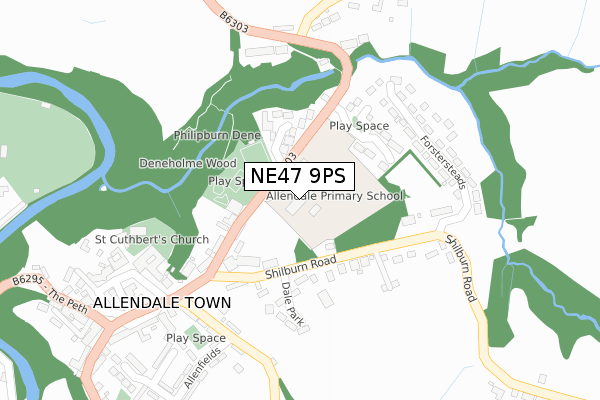
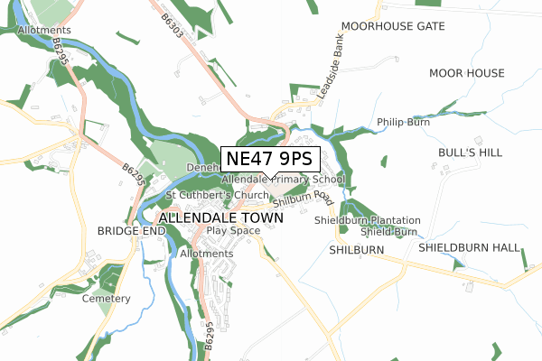
NE47 9PS is located in the South Tynedale electoral ward, within the unitary authority of Northumberland and the English Parliamentary constituency of Hexham. The Sub Integrated Care Board (ICB) Location is NHS North East and North Cumbria ICB - 00L and the police force is Northumbria. This postcode has been in use since December 2017.


GetTheData
Source: OS Open Zoomstack (Ordnance Survey)
Licence: Open Government Licence (requires attribution)
Attribution: Contains OS data © Crown copyright and database right 2024
Source: Open Postcode Geo
Licence: Open Government Licence (requires attribution)
Attribution: Contains OS data © Crown copyright and database right 2024; Contains Royal Mail data © Royal Mail copyright and database right 2024; Source: Office for National Statistics licensed under the Open Government Licence v.3.0
| Easting | 384056 |
| Northing | 556011 |
| Latitude | 54.898577 |
| Longitude | -2.250150 |
GetTheData
Source: Open Postcode Geo
Licence: Open Government Licence
| Country | England |
| Postcode District | NE47 |
| ➜ NE47 open data dashboard ➜ See where NE47 is on a map ➜ Where is Allendale Town? | |
GetTheData
Source: Land Registry Price Paid Data
Licence: Open Government Licence
| Ward | South Tynedale |
| Constituency | Hexham |
GetTheData
Source: ONS Postcode Database
Licence: Open Government Licence
| June 2022 | Violence and sexual offences | On or near Denelands | 101m |
| June 2022 | Violence and sexual offences | On or near Dale Park | 167m |
| April 2022 | Other theft | On or near Dale Park | 167m |
| ➜ Get more crime data in our Crime section | |||
GetTheData
Source: data.police.uk
Licence: Open Government Licence
| Middle School (B6303) | Allendale Town | 68m |
| Middle School (B6303) | Allendale Town | 123m |
| Deneholme (B6303) | Allendale Town | 267m |
| Deneholme (B6303) | Allendale Town | 272m |
| Market Place | Allendale Town | 316m |
GetTheData
Source: NaPTAN
Licence: Open Government Licence
GetTheData
Source: ONS Postcode Database
Licence: Open Government Licence


➜ Get more ratings from the Food Standards Agency
GetTheData
Source: Food Standards Agency
Licence: FSA terms & conditions
| Last Collection | |||
|---|---|---|---|
| Location | Mon-Fri | Sat | Distance |
| Allendale Post Office | 17:15 | 11:15 | 331m |
| Bridge End | 16:45 | 10:30 | 666m |
| Thornley House | 16:15 | 10:30 | 955m |
GetTheData
Source: Dracos
Licence: Creative Commons Attribution-ShareAlike
| Facility | Distance |
|---|---|
| Allendale Primary School Allendale, Hexham Sports Hall, Grass Pitches | 0m |
| Allendale Cricket Club B6295 Allendale Town To Catton, Allendale Grass Pitches | 501m |
| Cattonlea Haugh Allendale, Hexham Grass Pitches, Outdoor Tennis Courts | 1.3km |
GetTheData
Source: Active Places
Licence: Open Government Licence
| School | Phase of Education | Distance |
|---|---|---|
| Allendale Primary School Allendale, NE47 9PS | Primary | 138m |
GetTheData
Source: Edubase
Licence: Open Government Licence
The below table lists the International Territorial Level (ITL) codes (formerly Nomenclature of Territorial Units for Statistics (NUTS) codes) and Local Administrative Units (LAU) codes for NE47 9PS:
| ITL 1 Code | Name |
|---|---|
| TLC | North East (England) |
| ITL 2 Code | Name |
| TLC2 | Northumberland, and Tyne and Wear |
| ITL 3 Code | Name |
| TLC21 | Northumberland |
| LAU 1 Code | Name |
| E06000057 | Northumberland |
GetTheData
Source: ONS Postcode Directory
Licence: Open Government Licence
The below table lists the Census Output Area (OA), Lower Layer Super Output Area (LSOA), and Middle Layer Super Output Area (MSOA) for NE47 9PS:
| Code | Name | |
|---|---|---|
| OA | E00139840 | |
| LSOA | E01027478 | Northumberland 040B |
| MSOA | E02005733 | Northumberland 040 |
GetTheData
Source: ONS Postcode Directory
Licence: Open Government Licence
| NE47 9PW | Denelands | 115m |
| NE47 9LG | 132m | |
| NE47 9PR | Leadgate | 145m |
| NE47 9PP | Dawson Place | 197m |
| NE47 9HA | Dale Park | 207m |
| NE47 9DA | 223m | |
| NE47 9AS | Forstersteads | 244m |
| NE47 9BZ | Lonkley Terrace | 261m |
| NE47 9BY | 269m | |
| NE47 9DE | 275m |
GetTheData
Source: Open Postcode Geo; Land Registry Price Paid Data
Licence: Open Government Licence