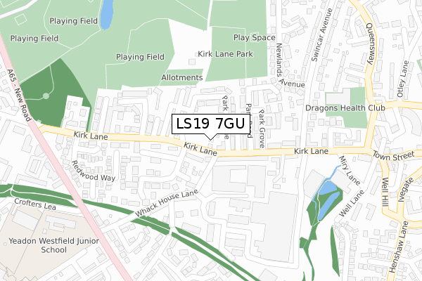
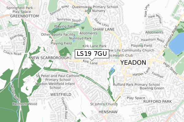
LS19 7GU is located in the Guiseley & Rawdon electoral ward, within the metropolitan district of Leeds and the English Parliamentary constituency of Pudsey. The Sub Integrated Care Board (ICB) Location is NHS West Yorkshire ICB - 15F and the police force is West Yorkshire. This postcode has been in use since July 2018.


GetTheData
Source: OS Open Zoomstack (Ordnance Survey)
Licence: Open Government Licence (requires attribution)
Attribution: Contains OS data © Crown copyright and database right 2025
Source: Open Postcode Geo
Licence: Open Government Licence (requires attribution)
Attribution: Contains OS data © Crown copyright and database right 2025; Contains Royal Mail data © Royal Mail copyright and database right 2025; Source: Office for National Statistics licensed under the Open Government Licence v.3.0
| Easting | 420253 |
| Northing | 441158 |
| Latitude | 53.866259 |
| Longitude | -1.693511 |
GetTheData
Source: Open Postcode Geo
Licence: Open Government Licence
| Country | England |
| Postcode District | LS19 |
➜ See where LS19 is on a map ➜ Where is Yeadon? | |
GetTheData
Source: Land Registry Price Paid Data
Licence: Open Government Licence
| Ward | Guiseley & Rawdon |
| Constituency | Pudsey |
GetTheData
Source: ONS Postcode Database
Licence: Open Government Licence
| Kirk Lane Swaine Hill Ter (Kirk Lane) | Yeadon | 44m |
| Kirk Lane Swaine Hill Ter (Kirk Lane) | Yeadon | 48m |
| Kirk Lane | Yeadon | 169m |
| Walkers Row | Yeadon | 242m |
| Walkers Row | Yeadon | 252m |
| Guiseley Station | 1.8km |
| Apperley Bridge Station | 2.8km |
| Menston Station | 4km |
GetTheData
Source: NaPTAN
Licence: Open Government Licence
| Percentage of properties with Next Generation Access | 100.0% |
| Percentage of properties with Superfast Broadband | 100.0% |
| Percentage of properties with Ultrafast Broadband | 0.0% |
| Percentage of properties with Full Fibre Broadband | 0.0% |
Superfast Broadband is between 30Mbps and 300Mbps
Ultrafast Broadband is > 300Mbps
| Percentage of properties unable to receive 2Mbps | 0.0% |
| Percentage of properties unable to receive 5Mbps | 0.0% |
| Percentage of properties unable to receive 10Mbps | 0.0% |
| Percentage of properties unable to receive 30Mbps | 0.0% |
GetTheData
Source: Ofcom
Licence: Ofcom Terms of Use (requires attribution)
GetTheData
Source: ONS Postcode Database
Licence: Open Government Licence


➜ Get more ratings from the Food Standards Agency
GetTheData
Source: Food Standards Agency
Licence: FSA terms & conditions
| Last Collection | |||
|---|---|---|---|
| Location | Mon-Fri | Sat | Distance |
| Kirk Lane P.o. | 17:15 | 12:00 | 29m |
| Royal Mail Aireborough | 17:15 | 12:30 | 353m |
| Westfield Avenue | 17:30 | 12:30 | 395m |
GetTheData
Source: Dracos
Licence: Creative Commons Attribution-ShareAlike
The below table lists the International Territorial Level (ITL) codes (formerly Nomenclature of Territorial Units for Statistics (NUTS) codes) and Local Administrative Units (LAU) codes for LS19 7GU:
| ITL 1 Code | Name |
|---|---|
| TLE | Yorkshire and The Humber |
| ITL 2 Code | Name |
| TLE4 | West Yorkshire |
| ITL 3 Code | Name |
| TLE42 | Leeds |
| LAU 1 Code | Name |
| E08000035 | Leeds |
GetTheData
Source: ONS Postcode Directory
Licence: Open Government Licence
The below table lists the Census Output Area (OA), Lower Layer Super Output Area (LSOA), and Middle Layer Super Output Area (MSOA) for LS19 7GU:
| Code | Name | |
|---|---|---|
| OA | E00056752 | |
| LSOA | E01011273 | Leeds 010B |
| MSOA | E02002339 | Leeds 010 |
GetTheData
Source: ONS Postcode Directory
Licence: Open Government Licence
| LS19 7EH | Park Avenue | 33m |
| LS19 7HA | Fernbank Terrace | 45m |
| LS19 7EY | Park Street | 54m |
| LS19 7EZ | Park Avenue | 79m |
| LS19 7HD | Swaine Hill Terrace | 83m |
| LS19 7HE | Swaine Hill Crescent | 98m |
| LS19 7ET | Kirk Lane | 103m |
| LS19 7HF | Swaine Hill Street | 109m |
| LS19 7EX | Park Road | 117m |
| LS19 7HG | Victoria Place | 127m |
GetTheData
Source: Open Postcode Geo; Land Registry Price Paid Data
Licence: Open Government Licence