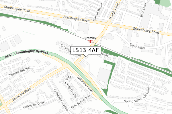
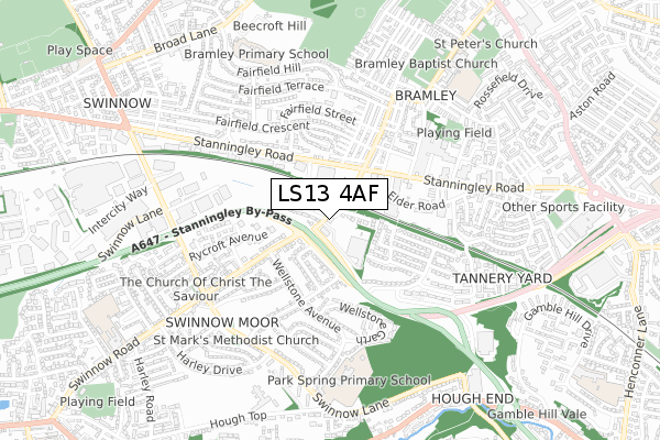
LS13 4AF is located in the Armley electoral ward, within the metropolitan district of Leeds and the English Parliamentary constituency of Leeds West. The Sub Integrated Care Board (ICB) Location is NHS West Yorkshire ICB - 15F and the police force is West Yorkshire. This postcode has been in use since November 2019.


GetTheData
Source: OS Open Zoomstack (Ordnance Survey)
Licence: Open Government Licence (requires attribution)
Attribution: Contains OS data © Crown copyright and database right 2024
Source: Open Postcode Geo
Licence: Open Government Licence (requires attribution)
Attribution: Contains OS data © Crown copyright and database right 2024; Contains Royal Mail data © Royal Mail copyright and database right 2024; Source: Office for National Statistics licensed under the Open Government Licence v.3.0
| Easting | 423950 |
| Northing | 434315 |
| Latitude | 53.804601 |
| Longitude | -1.637825 |
GetTheData
Source: Open Postcode Geo
Licence: Open Government Licence
| Country | England |
| Postcode District | LS13 |
| ➜ LS13 open data dashboard ➜ See where LS13 is on a map ➜ Where is Leeds? | |
GetTheData
Source: Land Registry Price Paid Data
Licence: Open Government Licence
| Ward | Armley |
| Constituency | Leeds West |
GetTheData
Source: ONS Postcode Database
Licence: Open Government Licence
| January 2024 | Vehicle crime | On or near Dolphin Court | 202m |
| January 2024 | Criminal damage and arson | On or near Hough Terrace | 437m |
| December 2023 | Burglary | On or near Dolphin Court | 202m |
| ➜ Get more crime data in our Crime section | |||
GetTheData
Source: data.police.uk
Licence: Open Government Licence
| Swinnow Rd Sunnyside Road (Swinnow Road) | Swinnow | 26m |
| Stanningley By-pass Swinnow Road (Stanningley By-pass Slip Road) | Swinnow | 120m |
| Swinnow Road Stanningley By-pass (Swinnow Road) | Swinnow | 160m |
| Stanningley Road Station Mount (Stanningley Road) | Bramley | 206m |
| Stanningley Road Station Mount (Stanningley Road) | Bramley | 222m |
| Bramley (West Yorks) Station | 0.1km |
| Kirkstall Forge Station | 2.4km |
| New Pudsey Station | 2.8km |
GetTheData
Source: NaPTAN
Licence: Open Government Licence
GetTheData
Source: ONS Postcode Database
Licence: Open Government Licence

➜ Get more ratings from the Food Standards Agency
GetTheData
Source: Food Standards Agency
Licence: FSA terms & conditions
| Last Collection | |||
|---|---|---|---|
| Location | Mon-Fri | Sat | Distance |
| Park Springs Gardens | 17:30 | 11:30 | 152m |
| Hough Lane | 17:30 | 11:00 | 244m |
| Elder Road/Hough End Lane | 17:30 | 11:00 | 466m |
GetTheData
Source: Dracos
Licence: Creative Commons Attribution-ShareAlike
| Facility | Distance |
|---|---|
| Park Spring Primary School Swinnow Lane, Leeds Grass Pitches | 591m |
| Swinnow Community Centre Swinnow Lane, Leeds Sports Hall | 599m |
| The Fitness Mill (Closed) Stanningley Road, Leeds Health and Fitness Gym, Studio | 782m |
GetTheData
Source: Active Places
Licence: Open Government Licence
| School | Phase of Education | Distance |
|---|---|---|
| Park Spring Primary School Swinnow Lane, Leeds, LS13 4QT | Primary | 628m |
| Bramley Park Academy Fairfield Hill, Bramley, Leeds, LS13 3DP | Primary | 716m |
| Bramley St Peter's Church of England Primary School Hough Lane, Leeds, LS13 3NE | Primary | 789m |
GetTheData
Source: Edubase
Licence: Open Government Licence
The below table lists the International Territorial Level (ITL) codes (formerly Nomenclature of Territorial Units for Statistics (NUTS) codes) and Local Administrative Units (LAU) codes for LS13 4AF:
| ITL 1 Code | Name |
|---|---|
| TLE | Yorkshire and The Humber |
| ITL 2 Code | Name |
| TLE4 | West Yorkshire |
| ITL 3 Code | Name |
| TLE42 | Leeds |
| LAU 1 Code | Name |
| E08000035 | Leeds |
GetTheData
Source: ONS Postcode Directory
Licence: Open Government Licence
The below table lists the Census Output Area (OA), Lower Layer Super Output Area (LSOA), and Middle Layer Super Output Area (MSOA) for LS13 4AF:
| Code | Name | |
|---|---|---|
| OA | E00056863 | |
| LSOA | E01011287 | Leeds 067B |
| MSOA | E02002396 | Leeds 067 |
GetTheData
Source: ONS Postcode Directory
Licence: Open Government Licence
| LS13 4DR | Swinnow Road | 69m |
| LS13 4DS | Sunnyside Road | 112m |
| LS13 4DN | Swinnow Road | 122m |
| LS13 4DU | Ring Road | 167m |
| LS13 4DL | Elder Road | 191m |
| LS13 4RP | Spring Valley Croft | 191m |
| LS13 4DT | Park Spring Gardens | 193m |
| LS13 3QW | Stanningley Road | 229m |
| LS13 3EG | Stanningley Road | 235m |
| LS13 4RW | Spring Valley View | 241m |
GetTheData
Source: Open Postcode Geo; Land Registry Price Paid Data
Licence: Open Government Licence