LS10 1EQ maps, stats, and open data
- Home
- Postcode
- LS
- LS10
- LS10 1
LS10 1EQ is located in the Hunslet & Riverside electoral ward, within the metropolitan district of Leeds and the English Parliamentary constituency of Leeds Central. The Sub Integrated Care Board (ICB) Location is NHS West Yorkshire ICB - 15F and the police force is West Yorkshire. This postcode has been in use since July 2018.
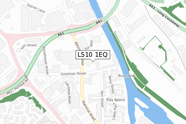
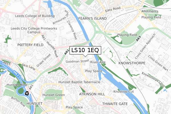
LS10 1EQ maps


Source: OS Open Zoomstack (Ordnance Survey)
Licence: Open Government Licence (requires attribution)
Attribution: Contains OS data © Crown copyright and database right 2025
Source: Open Postcode GeoLicence: Open Government Licence (requires attribution)
Attribution: Contains OS data © Crown copyright and database right 2025; Contains Royal Mail data © Royal Mail copyright and database right 2025; Source: Office for National Statistics licensed under the Open Government Licence v.3.0
LS10 1EQ geodata
| Easting | 431356 |
| Northing | 432163 |
| Latitude | 53.784868 |
| Longitude | -1.525592 |
Where is LS10 1EQ?
| Country | England |
| Postcode District | LS10 |
Politics
| Ward | Hunslet & Riverside |
|---|
| Constituency | Leeds Central |
|---|
Transport
Nearest bus stops to LS10 1EQ
| Atkinson St Fox Way (Atkinson Street) | Hunslet | 73m |
| Atkinson St Fox Way (Atkinson Street) | Hunslet | 125m |
| South Accommodation Rd Donisthorpe Street (South Accomodation Road) | Hunslet | 323m |
| Low Rd Stafford Street (Low Road) | Hunslet | 332m |
| South Accommodation Rd Donisthorpe Street (South Accomodation Road) | Hunslet | 338m |
Nearest railway stations to LS10 1EQ
| Leeds Station | 1.9km |
| Cottingley Station | 4.5km |
| Burley Park Station | 4.6km |
Broadband
Broadband access in LS10 1EQ (2020 data)
| Percentage of properties with Next Generation Access | 100.0% |
| Percentage of properties with Superfast Broadband | 100.0% |
| Percentage of properties with Ultrafast Broadband | 100.0% |
| Percentage of properties with Full Fibre Broadband | 100.0% |
Superfast Broadband is between 30Mbps and 300Mbps
Ultrafast Broadband is > 300Mbps
Broadband limitations in LS10 1EQ (2020 data)
| Percentage of properties unable to receive 2Mbps | 0.0% |
| Percentage of properties unable to receive 5Mbps | 0.0% |
| Percentage of properties unable to receive 10Mbps | 0.0% |
| Percentage of properties unable to receive 30Mbps | 0.0% |
Deprivation
92.6% of English postcodes are less deprived than
LS10 1EQ:
Food Standards Agency
Three nearest food hygiene ratings to LS10 1EQ (metres)
Servest First Bus Canteen
Zoom By Ocado
OCS Food Co @ First Bus - Hunslet Park
➜ Get more ratings from the Food Standards Agency
Nearest post box to LS10 1EQ
| | Last Collection | |
|---|
| Location | Mon-Fri | Sat | Distance |
|---|
| Goodman Street/Donisthorpe St | 18:30 | 12:45 | 235m |
| Goodman Street | 18:30 | | 238m |
| Cross Green Lane / Crescent | 17:30 | 11:45 | 495m |
Environment
| Risk of LS10 1EQ flooding from rivers and sea | High |
LS10 1EQ ITL and LS10 1EQ LAU
The below table lists the International Territorial Level (ITL) codes (formerly Nomenclature of Territorial Units for Statistics (NUTS) codes) and Local Administrative Units (LAU) codes for LS10 1EQ:
| ITL 1 Code | Name |
|---|
| TLE | Yorkshire and The Humber |
| ITL 2 Code | Name |
|---|
| TLE4 | West Yorkshire |
| ITL 3 Code | Name |
|---|
| TLE42 | Leeds |
| LAU 1 Code | Name |
|---|
| E08000035 | Leeds |
LS10 1EQ census areas
The below table lists the Census Output Area (OA), Lower Layer Super Output Area (LSOA), and Middle Layer Super Output Area (MSOA) for LS10 1EQ:
| Code | Name |
|---|
| OA | E00057825 | |
|---|
| LSOA | E01011467 | Leeds 112A |
|---|
| MSOA | E02006876 | Leeds 112 |
|---|
Nearest postcodes to LS10 1EQ


