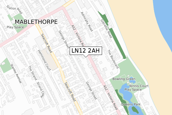
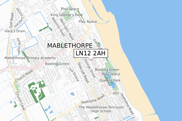
LN12 2AH is located in the Mablethorpe electoral ward, within the local authority district of East Lindsey and the English Parliamentary constituency of Louth and Horncastle. The Sub Integrated Care Board (ICB) Location is NHS Lincolnshire ICB - 71E and the police force is Lincolnshire. This postcode has been in use since October 2019.


GetTheData
Source: OS Open Zoomstack (Ordnance Survey)
Licence: Open Government Licence (requires attribution)
Attribution: Contains OS data © Crown copyright and database right 2025
Source: Open Postcode Geo
Licence: Open Government Licence (requires attribution)
Attribution: Contains OS data © Crown copyright and database right 2025; Contains Royal Mail data © Royal Mail copyright and database right 2025; Source: Office for National Statistics licensed under the Open Government Licence v.3.0
| Easting | 550816 |
| Northing | 384868 |
| Latitude | 53.339246 |
| Longitude | 0.263715 |
GetTheData
Source: Open Postcode Geo
Licence: Open Government Licence
| Country | England |
| Postcode District | LN12 |
➜ See where LN12 is on a map | |
GetTheData
Source: Land Registry Price Paid Data
Licence: Open Government Licence
| Ward | Mablethorpe |
| Constituency | Louth And Horncastle |
GetTheData
Source: ONS Postcode Database
Licence: Open Government Licence
| Council Offices (Victoria Road) | Mablethorpe | 142m |
| Council Offices (Victoria Road) | Mablethorpe | 157m |
| Grayscroft Coach Depot (Victoria Road) | Mablethorpe | 223m |
| Grayscroft Coach Depot (Victoria Road) | Mablethorpe | 230m |
| Bus Station (Seacroft Road) | Mablethorpe | 230m |
GetTheData
Source: NaPTAN
Licence: Open Government Licence
GetTheData
Source: ONS Postcode Database
Licence: Open Government Licence


➜ Get more ratings from the Food Standards Agency
GetTheData
Source: Food Standards Agency
Licence: FSA terms & conditions
| Last Collection | |||
|---|---|---|---|
| Location | Mon-Fri | Sat | Distance |
| Mablethorpe Post Office | 16:45 | 11:30 | 712m |
| Golf Road | 17:00 | 11:15 | 1,276m |
| Trusthorpe Post Office | 16:45 | 11:00 | 1,723m |
GetTheData
Source: Dracos
Licence: Creative Commons Attribution-ShareAlike
| Risk of LN12 2AH flooding from rivers and sea | Medium |
| ➜ LN12 2AH flood map | |
GetTheData
Source: Open Flood Risk by Postcode
Licence: Open Government Licence
The below table lists the International Territorial Level (ITL) codes (formerly Nomenclature of Territorial Units for Statistics (NUTS) codes) and Local Administrative Units (LAU) codes for LN12 2AH:
| ITL 1 Code | Name |
|---|---|
| TLF | East Midlands (England) |
| ITL 2 Code | Name |
| TLF3 | Lincolnshire |
| ITL 3 Code | Name |
| TLF30 | Lincolnshire CC |
| LAU 1 Code | Name |
| E07000137 | East Lindsey |
GetTheData
Source: ONS Postcode Directory
Licence: Open Government Licence
The below table lists the Census Output Area (OA), Lower Layer Super Output Area (LSOA), and Middle Layer Super Output Area (MSOA) for LN12 2AH:
| Code | Name | |
|---|---|---|
| OA | E00132334 | |
| LSOA | E01026073 | East Lindsey 005B |
| MSOA | E02005428 | East Lindsey 005 |
GetTheData
Source: ONS Postcode Directory
Licence: Open Government Licence
| LN12 2BH | George Street | 50m |
| LN12 2AF | Victoria Road | 92m |
| LN12 2AD | The Boulevard | 120m |
| LN12 2AE | Park Avenue | 125m |
| LN12 2BJ | George Street | 127m |
| LN12 2DS | Foxe End | 129m |
| LN12 2BG | Knowle Street | 141m |
| LN12 2DT | Seacroft Road | 145m |
| LN12 2DW | Vyner Close | 146m |
| LN12 2DL | Ripon Place | 161m |
GetTheData
Source: Open Postcode Geo; Land Registry Price Paid Data
Licence: Open Government Licence