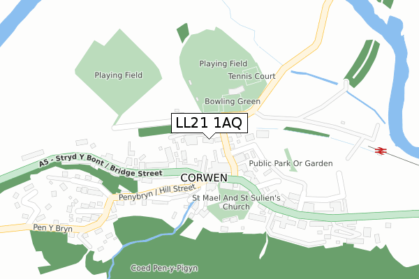
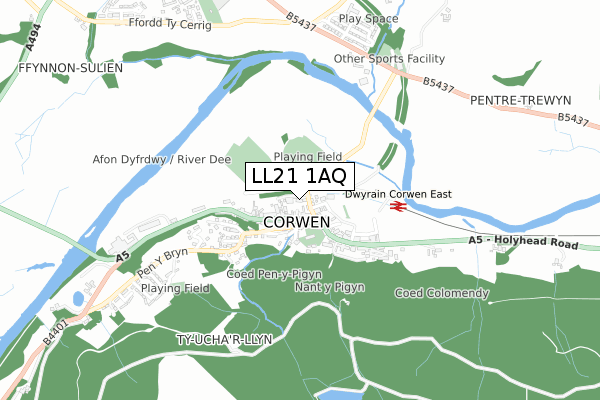
LL21 1AQ is located in the Edeirnion electoral ward, within the unitary authority of Denbighshire and the Welsh Parliamentary constituency of Clwyd South. The Local Health Board is Betsi Cadwaladr University and the police force is North Wales. This postcode has been in use since August 2017.


GetTheData
Source: OS Open Zoomstack (Ordnance Survey)
Licence: Open Government Licence (requires attribution)
Attribution: Contains OS data © Crown copyright and database right 2024
Source: Open Postcode Geo
Licence: Open Government Licence (requires attribution)
Attribution: Contains OS data © Crown copyright and database right 2024; Contains Royal Mail data © Royal Mail copyright and database right 2024; Source: Office for National Statistics licensed under the Open Government Licence v.3.0
| Easting | 307848 |
| Northing | 343564 |
| Latitude | 52.981483 |
| Longitude | -3.373999 |
GetTheData
Source: Open Postcode Geo
Licence: Open Government Licence
| Country | Wales |
| Postcode District | LL21 |
| ➜ LL21 open data dashboard ➜ See where LL21 is on a map ➜ Where is Corwen? | |
GetTheData
Source: Land Registry Price Paid Data
Licence: Open Government Licence
| Ward | Edeirnion |
| Constituency | Clwyd South |
GetTheData
Source: ONS Postcode Database
Licence: Open Government Licence
| October 2023 | Anti-social behaviour | On or near Parking Area | 139m |
| October 2023 | Burglary | On or near Parking Area | 139m |
| July 2023 | Violence and sexual offences | On or near Parking Area | 139m |
| ➜ Get more crime data in our Crime section | |||
GetTheData
Source: data.police.uk
Licence: Open Government Licence
| Queen`s House (Green Lane) | Corwen | 96m |
| Car Park (Green Lane) | Corwen | 99m |
| The Square (London Road) | Corwen | 122m |
| The Square (London Road) | Corwen | 181m |
| Hafan Deg (Bridge Street) | Corwen | 187m |
GetTheData
Source: NaPTAN
Licence: Open Government Licence
GetTheData
Source: ONS Postcode Database
Licence: Open Government Licence


➜ Get more ratings from the Food Standards Agency
GetTheData
Source: Food Standards Agency
Licence: FSA terms & conditions
| Last Collection | |||
|---|---|---|---|
| Location | Mon-Fri | Sat | Distance |
| Corwen Delivery Office | 17:30 | 12:00 | 62m |
| Corwen Post Office | 17:30 | 11:30 | 103m |
| Railway Station | 17:00 | 10:00 | 273m |
GetTheData
Source: Dracos
Licence: Creative Commons Attribution-ShareAlike
| School | Phase of Education | Distance |
|---|---|---|
| Ysgol Caer Drewyn Clawdd Poncen, Corwen, Denbighshire, LL21 9RT | Not applicable | 1km |
| Ysgol Bro Elwern Gwyddelwern, Corwen, Sir Ddinbych, LL21 9DF | Not applicable | 3km |
| Ysgol Gynradd Carrog Carrog, Nr Corwen, Denbighshire, LL21 9AW | Not applicable | 3.5km |
GetTheData
Source: Edubase
Licence: Open Government Licence
The below table lists the International Territorial Level (ITL) codes (formerly Nomenclature of Territorial Units for Statistics (NUTS) codes) and Local Administrative Units (LAU) codes for LL21 1AQ:
| ITL 1 Code | Name |
|---|---|
| TLL | Wales |
| ITL 2 Code | Name |
| TLL1 | West Wales and The Valleys |
| ITL 3 Code | Name |
| TLL13 | Conwy and Denbighshire |
| LAU 1 Code | Name |
| W06000004 | Denbighshire |
GetTheData
Source: ONS Postcode Directory
Licence: Open Government Licence
The below table lists the Census Output Area (OA), Lower Layer Super Output Area (LSOA), and Middle Layer Super Output Area (MSOA) for LL21 1AQ:
| Code | Name | |
|---|---|---|
| OA | W00001029 | |
| LSOA | W01000193 | Denbighshire 015A |
| MSOA | W02000056 | Denbighshire 015 |
GetTheData
Source: ONS Postcode Directory
Licence: Open Government Licence
| LL21 0DN | Green Lane | 53m |
| LL21 0AA | Chapel Street | 63m |
| LL21 0DE | The Square | 71m |
| LL21 0AB | Bridge Street | 83m |
| LL21 0AH | Bridge Street | 120m |
| LL21 0DG | The Square | 122m |
| LL21 0AY | Hill Street | 124m |
| LL21 0DL | The Square | 130m |
| LL21 0BA | Vale View | 138m |
| LL21 0AU | Mill Street | 138m |
GetTheData
Source: Open Postcode Geo; Land Registry Price Paid Data
Licence: Open Government Licence