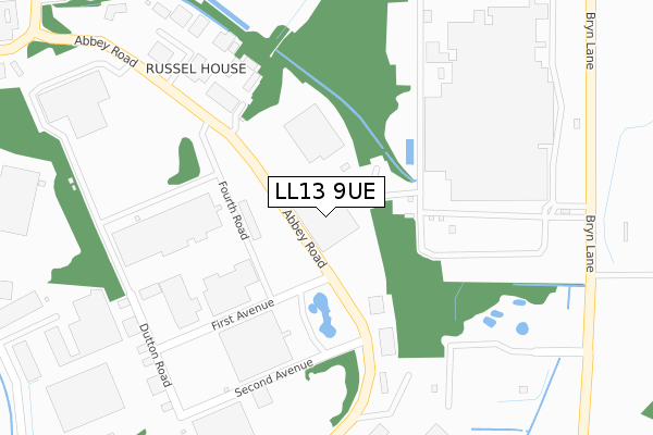
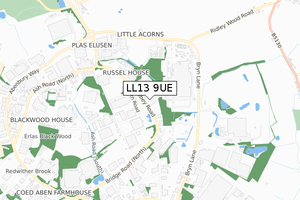
LL13 9UE is located in the Holt electoral ward, within the unitary authority of Wrexham and the Welsh Parliamentary constituency of Wrexham. The Local Health Board is Betsi Cadwaladr University and the police force is North Wales. This postcode has been in use since March 2018.


GetTheData
Source: OS Open Zoomstack (Ordnance Survey)
Licence: Open Government Licence (requires attribution)
Attribution: Contains OS data © Crown copyright and database right 2024
Source: Open Postcode Geo
Licence: Open Government Licence (requires attribution)
Attribution: Contains OS data © Crown copyright and database right 2024; Contains Royal Mail data © Royal Mail copyright and database right 2024; Source: Office for National Statistics licensed under the Open Government Licence v.3.0
| Easting | 338560 |
| Northing | 350343 |
| Latitude | 53.046821 |
| Longitude | -2.917933 |
GetTheData
Source: Open Postcode Geo
Licence: Open Government Licence
| Country | Wales |
| Postcode District | LL13 |
| ➜ LL13 open data dashboard ➜ See where LL13 is on a map | |
GetTheData
Source: Land Registry Price Paid Data
Licence: Open Government Licence
| Ward | Holt |
| Constituency | Wrexham |
GetTheData
Source: ONS Postcode Database
Licence: Open Government Licence
| January 2024 | Other theft | On or near Bryn Lane | 448m |
| January 2024 | Other theft | On or near Bryn Lane | 448m |
| January 2024 | Other theft | On or near Bryn Lane | 448m |
| ➜ Get more crime data in our Crime section | |||
GetTheData
Source: data.police.uk
Licence: Open Government Licence
| Abbey Road | Ridley View | 116m |
| Redwither Tower (Abbey Road) | Ridley View | 159m |
| Hoya Lens (Abbey Road) | Ridley View | 348m |
| Wrexham Industrial Estate (Ash Road North) | Pentre Maelor | 569m |
| Marlborough Road | Redwither | 656m |
GetTheData
Source: NaPTAN
Licence: Open Government Licence
GetTheData
Source: ONS Postcode Database
Licence: Open Government Licence


➜ Get more ratings from the Food Standards Agency
GetTheData
Source: Food Standards Agency
Licence: FSA terms & conditions
| Last Collection | |||
|---|---|---|---|
| Location | Mon-Fri | Sat | Distance |
| Wrexham Industrial Estate | 18:30 | 399m | |
| Bowling Bank | 09:30 | 08:45 | 2,156m |
| Cross Lanes | 09:45 | 09:00 | 3,275m |
GetTheData
Source: Dracos
Licence: Creative Commons Attribution-ShareAlike
| School | Phase of Education | Distance |
|---|---|---|
| St Pauls Voluntary Aided Primary School Bowling Bank, Isycoed, Wrexham, LL13 9RL | Not applicable | 1.5km |
| St Christopher's School Stockwell Grove, Wrexham, LL13 7BW | Not applicable | 1.8km |
| Ysgol Morgan Llwyd Ffordd Cefn, Wrecsam, LL13 9NG | Not applicable | 3.5km |
GetTheData
Source: Edubase
Licence: Open Government Licence
The below table lists the International Territorial Level (ITL) codes (formerly Nomenclature of Territorial Units for Statistics (NUTS) codes) and Local Administrative Units (LAU) codes for LL13 9UE:
| ITL 1 Code | Name |
|---|---|
| TLL | Wales |
| ITL 2 Code | Name |
| TLL2 | East Wales |
| ITL 3 Code | Name |
| TLL23 | Flintshire and Wrexham |
| LAU 1 Code | Name |
| W06000006 | Wrexham |
GetTheData
Source: ONS Postcode Directory
Licence: Open Government Licence
The below table lists the Census Output Area (OA), Lower Layer Super Output Area (LSOA), and Middle Layer Super Output Area (MSOA) for LL13 9UE:
| Code | Name | |
|---|---|---|
| OA | W00002049 | |
| LSOA | W01000383 | Wrexham 020A |
| MSOA | W02000420 | Wrexham 020 |
GetTheData
Source: ONS Postcode Directory
Licence: Open Government Licence
| LL13 9UT | Bryn Lane | 297m |
| LL13 9RF | Abbey Road | 426m |
| LL13 9UG | Ash Road South | 514m |
| LL13 9XW | Bryn Lane | 538m |
| LL13 9UF | Ash Road North | 663m |
| LL13 9UY | Bryn Lane | 701m |
| LL13 9JT | Ash Road North | 767m |
| LL13 9UU | Bryn Cottages | 842m |
| LL13 9RD | Redwither Road | 873m |
| LL13 9QA | Spectrum Business Park | 1145m |
GetTheData
Source: Open Postcode Geo; Land Registry Price Paid Data
Licence: Open Government Licence