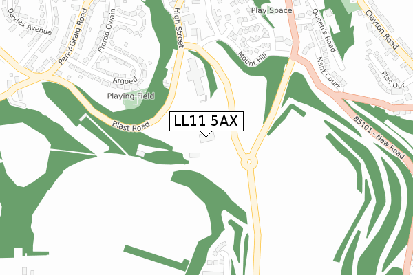
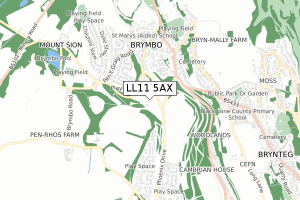
LL11 5AX is located in the Brymbo electoral ward, within the unitary authority of Wrexham and the Welsh Parliamentary constituency of Clwyd South. The Local Health Board is Betsi Cadwaladr University and the police force is North Wales. This postcode has been in use since September 2017.


GetTheData
Source: OS Open Zoomstack (Ordnance Survey)
Licence: Open Government Licence (requires attribution)
Attribution: Contains OS data © Crown copyright and database right 2024
Source: Open Postcode Geo
Licence: Open Government Licence (requires attribution)
Attribution: Contains OS data © Crown copyright and database right 2024; Contains Royal Mail data © Royal Mail copyright and database right 2024; Source: Office for National Statistics licensed under the Open Government Licence v.3.0
| Easting | 329498 |
| Northing | 353516 |
| Latitude | 53.074218 |
| Longitude | -3.053781 |
GetTheData
Source: Open Postcode Geo
Licence: Open Government Licence
| Country | Wales |
| Postcode District | LL11 |
| ➜ LL11 open data dashboard ➜ See where LL11 is on a map | |
GetTheData
Source: Land Registry Price Paid Data
Licence: Open Government Licence
| Ward | Brymbo |
| Constituency | Clwyd South |
GetTheData
Source: ONS Postcode Database
Licence: Open Government Licence
| June 2022 | Violence and sexual offences | On or near Harwd Road | 332m |
| June 2022 | Violence and sexual offences | On or near Harwd Road | 332m |
| June 2022 | Violence and sexual offences | On or near Fairfield | 364m |
| ➜ Get more crime data in our Crime section | |||
GetTheData
Source: data.police.uk
Licence: Open Government Licence
| Miners Arms (High Street) | Brymbo | 280m |
| Miners Arms (High Strret) | Brymbo | 281m |
| Argoed (Ffordd Owain) | Brymbo | 358m |
| Old Police Station (Railway Road) | Brymbo | 375m |
| Old Police Station (Railway Road) | Brymbo | 375m |
| Gwersyllt Station | 2.4km |
| Cefn-y-Bedd Station | 3.1km |
| Caergwrle Station | 4km |
GetTheData
Source: NaPTAN
Licence: Open Government Licence
GetTheData
Source: ONS Postcode Database
Licence: Open Government Licence


➜ Get more ratings from the Food Standards Agency
GetTheData
Source: Food Standards Agency
Licence: FSA terms & conditions
| Last Collection | |||
|---|---|---|---|
| Location | Mon-Fri | Sat | Distance |
| Southsea Post Office | 17:15 | 10:00 | 469m |
| Lodge | 11:30 | 10:45 | 967m |
| Glyons Lane | 11:30 | 10:45 | 1,188m |
GetTheData
Source: Dracos
Licence: Creative Commons Attribution-ShareAlike
| School | Phase of Education | Distance |
|---|---|---|
| St Mary's Aided Primary School Ael Y Bryn, Brymbo, Wrexham, LL11 5DA | Not applicable | 491m |
| Black Lane C.P. School Long Lane, Pentre Broughton, Wrexham, LL11 6BT | Not applicable | 678m |
| Tanyfron C.P. School Tanyfron Road, Tanyfron, Wrexham, LL11 5SA | Not applicable | 1.4km |
GetTheData
Source: Edubase
Licence: Open Government Licence
The below table lists the International Territorial Level (ITL) codes (formerly Nomenclature of Territorial Units for Statistics (NUTS) codes) and Local Administrative Units (LAU) codes for LL11 5AX:
| ITL 1 Code | Name |
|---|---|
| TLL | Wales |
| ITL 2 Code | Name |
| TLL2 | East Wales |
| ITL 3 Code | Name |
| TLL23 | Flintshire and Wrexham |
| LAU 1 Code | Name |
| W06000006 | Wrexham |
GetTheData
Source: ONS Postcode Directory
Licence: Open Government Licence
The below table lists the Census Output Area (OA), Lower Layer Super Output Area (LSOA), and Middle Layer Super Output Area (MSOA) for LL11 5AX:
| Code | Name | |
|---|---|---|
| OA | W00010029 | |
| LSOA | W01000347 | Wrexham 006A |
| MSOA | W02000083 | Wrexham 006 |
GetTheData
Source: ONS Postcode Directory
Licence: Open Government Licence
| LL11 5BY | Bryn Melyn | 257m |
| LL11 5EQ | Vron Close | 259m |
| LL11 5EE | Steam Close | 261m |
| LL11 5BB | Argoed | 266m |
| LL11 5EX | Steel Close | 274m |
| LL11 5DZ | Mount Isa Drive | 295m |
| LL11 5BW | Bryn Road | 329m |
| LL11 5EZ | Furnace Close | 337m |
| LL11 5BA | Ffordd Owain | 346m |
| LL11 5BH | Nant Court | 346m |
GetTheData
Source: Open Postcode Geo; Land Registry Price Paid Data
Licence: Open Government Licence