LE3 5AH maps, stats, and open data
- Home
- Postcode
- LE
- LE3
- LE3 5
LE3 5AH is located in the Abbey electoral ward, within the unitary authority of Leicester and the English Parliamentary constituency of Leicester West. The Sub Integrated Care Board (ICB) Location is NHS Leicester, Leicestershire and Rutland ICB - 04C and the police force is Leicestershire. This postcode has been in use since July 2018.
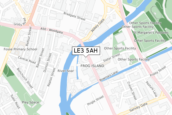
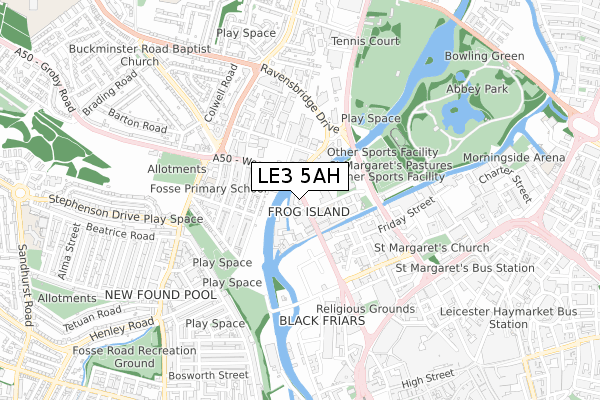
LE3 5AH maps


Source: OS Open Zoomstack (Ordnance Survey)
Licence: Open Government Licence (requires attribution)
Attribution: Contains OS data © Crown copyright and database right 2025
Source: Open Postcode GeoLicence: Open Government Licence (requires attribution)
Attribution: Contains OS data © Crown copyright and database right 2025; Contains Royal Mail data © Royal Mail copyright and database right 2025; Source: Office for National Statistics licensed under the Open Government Licence v.3.0
LE3 5AH geodata
| Easting | 458021 |
| Northing | 305302 |
| Latitude | 52.642384 |
| Longitude | -1.143952 |
Where is LE3 5AH?
| Country | England |
| Postcode District | LE3 |
Politics
| Ward | Abbey |
|---|
| Constituency | Leicester West |
|---|
Transport
Nearest bus stops to LE3 5AH
| Slater Street (Frog Island) | Frog Island | 105m |
| Slater Street (Frog Island) | Frog Island | 120m |
| Abbey Gate (Woodgate) | Leicester | 128m |
| Dunton Street (Woodgate) | Frog Island | 214m |
| Dunton Street (Woodgate) | Frog Island | 300m |
Nearest railway stations to LE3 5AH
Broadband
Broadband access in LE3 5AH (2020 data)
| Percentage of properties with Next Generation Access | 100.0% |
| Percentage of properties with Superfast Broadband | 100.0% |
| Percentage of properties with Ultrafast Broadband | 100.0% |
| Percentage of properties with Full Fibre Broadband | 0.0% |
Superfast Broadband is between 30Mbps and 300Mbps
Ultrafast Broadband is > 300Mbps
Broadband limitations in LE3 5AH (2020 data)
| Percentage of properties unable to receive 2Mbps | 0.0% |
| Percentage of properties unable to receive 5Mbps | 0.0% |
| Percentage of properties unable to receive 10Mbps | 0.0% |
| Percentage of properties unable to receive 30Mbps | 0.0% |
Deprivation
62.4% of English postcodes are less deprived than
LE3 5AH:
Food Standards Agency
Three nearest food hygiene ratings to LE3 5AH (metres)
Way Coffee
All Nations Centre
Ole Moses' Cabin
➜ Get more ratings from the Food Standards Agency
Nearest post box to LE3 5AH
| | Last Collection | |
|---|
| Location | Mon-Fri | Sat | Distance |
|---|
| Sanvey Gate | 18:30 | 12:00 | 433m |
| Tudor Road Post Office | 17:30 | 12:00 | 629m |
| East Bond Street | 18:30 | 12:00 | 723m |
Environment
| Risk of LE3 5AH flooding from rivers and sea | Low |
LE3 5AH ITL and LE3 5AH LAU
The below table lists the International Territorial Level (ITL) codes (formerly Nomenclature of Territorial Units for Statistics (NUTS) codes) and Local Administrative Units (LAU) codes for LE3 5AH:
| ITL 1 Code | Name |
|---|
| TLF | East Midlands (England) |
| ITL 2 Code | Name |
|---|
| TLF2 | Leicestershire, Rutland and Northamptonshire |
| ITL 3 Code | Name |
|---|
| TLF21 | Leicester |
| LAU 1 Code | Name |
|---|
| E06000016 | Leicester |
LE3 5AH census areas
The below table lists the Census Output Area (OA), Lower Layer Super Output Area (LSOA), and Middle Layer Super Output Area (MSOA) for LE3 5AH:
| Code | Name |
|---|
| OA | E00169497 | |
|---|
| LSOA | E01013607 | Leicester 008B |
|---|
| MSOA | E02002834 | Leicester 008 |
|---|
Nearest postcodes to LE3 5AH


