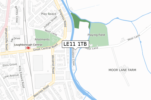
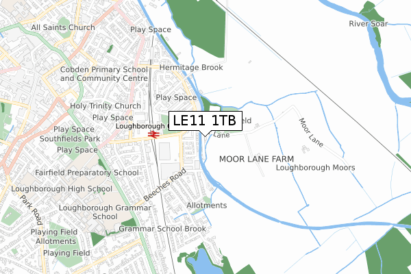
LE11 1TB is located in the Loughborough East electoral ward, within the local authority district of Charnwood and the English Parliamentary constituency of Loughborough. The Sub Integrated Care Board (ICB) Location is NHS Leicester, Leicestershire and Rutland ICB - 04V and the police force is Leicestershire. This postcode has been in use since September 2019.


GetTheData
Source: OS Open Zoomstack (Ordnance Survey)
Licence: Open Government Licence (requires attribution)
Attribution: Contains OS data © Crown copyright and database right 2025
Source: Open Postcode Geo
Licence: Open Government Licence (requires attribution)
Attribution: Contains OS data © Crown copyright and database right 2025; Contains Royal Mail data © Royal Mail copyright and database right 2025; Source: Office for National Statistics licensed under the Open Government Licence v.3.0
| Easting | 454668 |
| Northing | 319273 |
| Latitude | 52.768315 |
| Longitude | -1.191182 |
GetTheData
Source: Open Postcode Geo
Licence: Open Government Licence
| Country | England |
| Postcode District | LE11 |
➜ See where LE11 is on a map ➜ Where is Loughborough? | |
GetTheData
Source: Land Registry Price Paid Data
Licence: Open Government Licence
| Ward | Loughborough East |
| Constituency | Loughborough |
GetTheData
Source: ONS Postcode Database
Licence: Open Government Licence
16, WINDLASS CLOSE, LOUGHBOROUGH, LE11 1TB 2022 18 JUL £334,950 |
15, WINDLASS CLOSE, LOUGHBOROUGH, LE11 1TB 2021 5 FEB £334,950 |
12, WINDLASS CLOSE, LOUGHBOROUGH, LE11 1TB 2019 24 SEP £380,000 |
GetTheData
Source: HM Land Registry Price Paid Data
Licence: Contains HM Land Registry data © Crown copyright and database right 2025. This data is licensed under the Open Government Licence v3.0.
| Industrial Estate (Windmill Road) | Loughborough | 153m |
| Windmill Road (Great Central Road) | Loughborough | 183m |
| Tuckers Close (Tuckers Road) | Loughborough | 367m |
| Tuckers Close (Tuckers Road) | Loughborough | 369m |
| Lime Avenue (King Edward Road) | Loughborough | 379m |
| Loughborough Central (Great Central Railway) | Loughborough | 314m |
| Loughborough (Leics) Station | 1.2km |
| Barrow upon Soar Station | 3.8km |
GetTheData
Source: NaPTAN
Licence: Open Government Licence
GetTheData
Source: ONS Postcode Database
Licence: Open Government Licence


➜ Get more ratings from the Food Standards Agency
GetTheData
Source: Food Standards Agency
Licence: FSA terms & conditions
| Last Collection | |||
|---|---|---|---|
| Location | Mon-Fri | Sat | Distance |
| Empress Road | 17:30 | 11:30 | 299m |
| Central Station | 17:30 | 11:30 | 319m |
| Tuckers Road | 17:30 | 11:45 | 359m |
GetTheData
Source: Dracos
Licence: Creative Commons Attribution-ShareAlike
| Risk of LE11 1TB flooding from rivers and sea | Medium |
| ➜ LE11 1TB flood map | |
GetTheData
Source: Open Flood Risk by Postcode
Licence: Open Government Licence
The below table lists the International Territorial Level (ITL) codes (formerly Nomenclature of Territorial Units for Statistics (NUTS) codes) and Local Administrative Units (LAU) codes for LE11 1TB:
| ITL 1 Code | Name |
|---|---|
| TLF | East Midlands (England) |
| ITL 2 Code | Name |
| TLF2 | Leicestershire, Rutland and Northamptonshire |
| ITL 3 Code | Name |
| TLF22 | Leicestershire CC and Rutland |
| LAU 1 Code | Name |
| E07000130 | Charnwood |
GetTheData
Source: ONS Postcode Directory
Licence: Open Government Licence
The below table lists the Census Output Area (OA), Lower Layer Super Output Area (LSOA), and Middle Layer Super Output Area (MSOA) for LE11 1TB:
| Code | Name | |
|---|---|---|
| OA | E00173295 | |
| LSOA | E01025700 | Charnwood 002B |
| MSOA | E02005346 | Charnwood 002 |
GetTheData
Source: ONS Postcode Directory
Licence: Open Government Licence
| LE11 1SH | Thomas Street | 226m |
| LE11 1RH | Empress Road | 249m |
| LE11 1RX | Judges Street | 256m |
| LE11 1RU | Judges Street | 281m |
| LE11 2NX | King George Road | 291m |
| LE11 2NU | King George Avenue | 295m |
| LE11 2PA | King George Road | 314m |
| LE11 2NS | Beeches Road | 331m |
| LE11 1RS | Robert Hardy Wharf | 341m |
| LE11 1SF | Little Moor Lane | 344m |
GetTheData
Source: Open Postcode Geo; Land Registry Price Paid Data
Licence: Open Government Licence