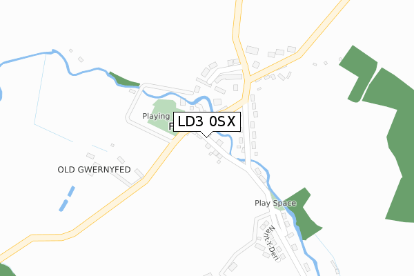
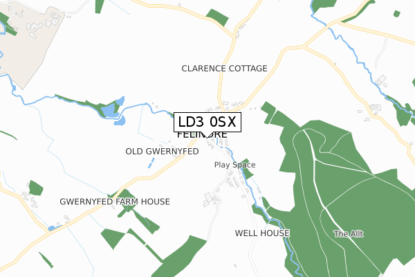
LD3 0SX is located in the Gwernyfed electoral ward, within the unitary authority of Powys and the Welsh Parliamentary constituency of Brecon and Radnorshire. The Local Health Board is Powys Teaching and the police force is Dyfed-Powys. This postcode has been in use since February 2020.


GetTheData
Source: OS Open Zoomstack (Ordnance Survey)
Licence: Open Government Licence (requires attribution)
Attribution: Contains OS data © Crown copyright and database right 2024
Source: Open Postcode Geo
Licence: Open Government Licence (requires attribution)
Attribution: Contains OS data © Crown copyright and database right 2024; Contains Royal Mail data © Royal Mail copyright and database right 2024; Source: Office for National Statistics licensed under the Open Government Licence v.3.0
| Easting | 316846 |
| Northing | 236896 |
| Latitude | 52.024230 |
| Longitude | -3.213324 |
GetTheData
Source: Open Postcode Geo
Licence: Open Government Licence
| Country | Wales |
| Postcode District | LD3 |
| ➜ LD3 open data dashboard ➜ See where LD3 is on a map ➜ Where is Three Cocks? | |
GetTheData
Source: Land Registry Price Paid Data
Licence: Open Government Licence
| Ward | Gwernyfed |
| Constituency | Brecon And Radnorshire |
GetTheData
Source: ONS Postcode Database
Licence: Open Government Licence
| May 2022 | Violence and sexual offences | On or near Gwernyfed Avenue | 393m |
| May 2022 | Violence and sexual offences | On or near Gwernyfed Avenue | 393m |
| May 2022 | Violence and sexual offences | On or near Gwernyfed Avenue | 393m |
| ➜ Get more crime data in our Crime section | |||
GetTheData
Source: data.police.uk
Licence: Open Government Licence
| Talgarth Turn (A438) | Pontithel | 186m |
| Talgarth Turn (A438) | Pontithel | 191m |
| Three Cocks (A438) | Gwernyfed | 461m |
| Three Cocks (A438) | Gwernyfed | 473m |
| Gwernyfed High School (A438) | Three Cocks | 649m |
GetTheData
Source: NaPTAN
Licence: Open Government Licence
GetTheData
Source: ONS Postcode Database
Licence: Open Government Licence


➜ Get more ratings from the Food Standards Agency
GetTheData
Source: Food Standards Agency
Licence: FSA terms & conditions
| Last Collection | |||
|---|---|---|---|
| Location | Mon-Fri | Sat | Distance |
| Felindre | 16:00 | 10:30 | 1,658m |
| Bronllys | 16:30 | 11:30 | 3,008m |
| Tregoyd | 16:00 | 08:30 | 3,012m |
GetTheData
Source: Dracos
Licence: Creative Commons Attribution-ShareAlike
| School | Phase of Education | Distance |
|---|---|---|
| Gwernyfed High School Three Cocks, Brecon, Powys, LD3 0SG | Not applicable | 834m |
| Ysgol y Mynydd Du School Road, Talgarth, LD3 0DQ | Not applicable | 3.3km |
| Ty Bronllys Trem-Y-Mynydd, Bronllys, Brecon, LD3 0LU | Not applicable | 3.7km |
GetTheData
Source: Edubase
Licence: Open Government Licence
The below table lists the International Territorial Level (ITL) codes (formerly Nomenclature of Territorial Units for Statistics (NUTS) codes) and Local Administrative Units (LAU) codes for LD3 0SX:
| ITL 1 Code | Name |
|---|---|
| TLL | Wales |
| ITL 2 Code | Name |
| TLL2 | East Wales |
| ITL 3 Code | Name |
| TLL24 | Powys |
| LAU 1 Code | Name |
| W06000023 | Powys |
GetTheData
Source: ONS Postcode Directory
Licence: Open Government Licence
The below table lists the Census Output Area (OA), Lower Layer Super Output Area (LSOA), and Middle Layer Super Output Area (MSOA) for LD3 0SX:
| Code | Name | |
|---|---|---|
| OA | W00002375 | |
| LSOA | W01000445 | Powys 015C |
| MSOA | W02000111 | Powys 015 |
GetTheData
Source: ONS Postcode Directory
Licence: Open Government Licence
| LD3 0RT | Gwernyfed Avenue | 347m |
| LD3 0SD | 366m | |
| LD3 0SA | 474m | |
| LD3 0SE | Gwernyfed Park | 533m |
| LD3 0SQ | Brookfields | 571m |
| LD3 0SG | 797m | |
| LD3 0SH | 838m | |
| LD3 0TA | 916m | |
| LD3 0SL | 1027m | |
| LD3 0SN | 1031m |
GetTheData
Source: Open Postcode Geo; Land Registry Price Paid Data
Licence: Open Government Licence