KT17 1FF maps, stats, and open data
KT17 1FF is located in the Nonsuch electoral ward, within the local authority district of Epsom and Ewell and the English Parliamentary constituency of Epsom and Ewell. The Sub Integrated Care Board (ICB) Location is NHS Surrey Heartlands ICB - 92A and the police force is Surrey. This postcode has been in use since February 2019.
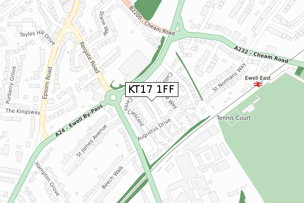
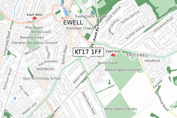
KT17 1FF maps


Licence: Open Government Licence (requires attribution)
Attribution: Contains OS data © Crown copyright and database right 2025
Source: Open Postcode Geo
Licence: Open Government Licence (requires attribution)
Attribution: Contains OS data © Crown copyright and database right 2025; Contains Royal Mail data © Royal Mail copyright and database right 2025; Source: Office for National Statistics licensed under the Open Government Licence v.3.0
KT17 1FF geodata
| Easting | 522231 |
| Northing | 162099 |
| Latitude | 51.344839 |
| Longitude | -0.246376 |
Where is KT17 1FF?
| Country | England |
| Postcode District | KT17 |
Politics
| Ward | Nonsuch |
|---|---|
| Constituency | Epsom And Ewell |
House Prices
Sales of detached houses in KT17 1FF
13, CERES CRESCENT, EPSOM, KT17 1FF 2019 25 JUL £689,950 |
1, CERES CRESCENT, EPSOM, KT17 1FF 2019 30 JAN £725,000 |
Licence: Contains HM Land Registry data © Crown copyright and database right 2025. This data is licensed under the Open Government Licence v3.0.
Transport
Nearest bus stops to KT17 1FF
| Hazel Mead (Reigate Road) | Ewell | 222m |
| Hazel Mead (Reigate Road) | Ewell | 226m |
| Nescot (Reigate Road) | Ewell | 330m |
| Ewell East Railway Station (Cheam Road) | East Ewell | 330m |
| The Kingsway (Epsom Road) | Ewell | 347m |
Nearest railway stations to KT17 1FF
| Ewell East Station | 0.3km |
| Ewell West Station | 0.9km |
| Epsom Station | 1.9km |
Broadband
Broadband access in KT17 1FF (2020 data)
| Percentage of properties with Next Generation Access | 100.0% |
| Percentage of properties with Superfast Broadband | 100.0% |
| Percentage of properties with Ultrafast Broadband | 100.0% |
| Percentage of properties with Full Fibre Broadband | 100.0% |
Superfast Broadband is between 30Mbps and 300Mbps
Ultrafast Broadband is > 300Mbps
Broadband limitations in KT17 1FF (2020 data)
| Percentage of properties unable to receive 2Mbps | 0.0% |
| Percentage of properties unable to receive 5Mbps | 0.0% |
| Percentage of properties unable to receive 10Mbps | 0.0% |
| Percentage of properties unable to receive 30Mbps | 0.0% |
Deprivation
4.4% of English postcodes are less deprived than KT17 1FF:Food Standards Agency
Three nearest food hygiene ratings to KT17 1FF (metres)


➜ Get more ratings from the Food Standards Agency
Nearest post box to KT17 1FF
| Last Collection | |||
|---|---|---|---|
| Location | Mon-Fri | Sat | Distance |
| Cheam Road | 17:45 | 12:45 | 376m |
| Castle Avenue | 17:45 | 12:45 | 483m |
| Chessington Road | 17:30 | 12:30 | 578m |
KT17 1FF ITL and KT17 1FF LAU
The below table lists the International Territorial Level (ITL) codes (formerly Nomenclature of Territorial Units for Statistics (NUTS) codes) and Local Administrative Units (LAU) codes for KT17 1FF:
| ITL 1 Code | Name |
|---|---|
| TLJ | South East (England) |
| ITL 2 Code | Name |
| TLJ2 | Surrey, East and West Sussex |
| ITL 3 Code | Name |
| TLJ26 | East Surrey |
| LAU 1 Code | Name |
| E07000208 | Epsom and Ewell |
KT17 1FF census areas
The below table lists the Census Output Area (OA), Lower Layer Super Output Area (LSOA), and Middle Layer Super Output Area (MSOA) for KT17 1FF:
| Code | Name | |
|---|---|---|
| OA | E00155048 | |
| LSOA | E01030396 | Epsom and Ewell 010D |
| MSOA | E02006837 | Epsom and Ewell 010 |
Nearest postcodes to KT17 1FF
| KT17 1PX | Reigate Road | 157m |
| KT17 1QN | Priest Hill Cottages | 168m |
| KT17 1PW | Hazel Mead | 189m |
| KT17 1PR | Reigate Road | 190m |
| KT17 1SZ | Seymour Mews | 204m |
| KT17 1PP | Mongers Lane | 207m |
| KT17 1QE | Conaways Close | 216m |
| KT17 1QS | Chatsfield | 221m |
| KT17 1PQ | Persfield Close | 222m |
| KT17 1QG | St Normans Way | 232m |