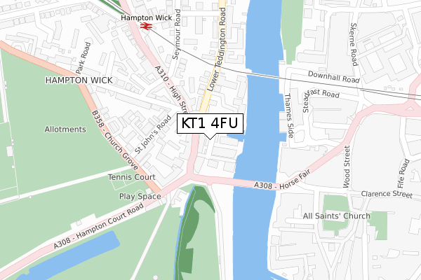
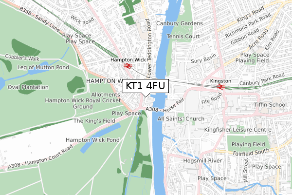
KT1 4FU is located in the Hampton Wick & South Teddington electoral ward, within the London borough of Richmond upon Thames and the English Parliamentary constituency of Twickenham. The Sub Integrated Care Board (ICB) Location is NHS South West London ICB - 36L and the police force is Metropolitan Police. This postcode has been in use since August 2019.


GetTheData
Source: OS Open Zoomstack (Ordnance Survey)
Licence: Open Government Licence (requires attribution)
Attribution: Contains OS data © Crown copyright and database right 2025
Source: Open Postcode Geo
Licence: Open Government Licence (requires attribution)
Attribution: Contains OS data © Crown copyright and database right 2025; Contains Royal Mail data © Royal Mail copyright and database right 2025; Source: Office for National Statistics licensed under the Open Government Licence v.3.0
| Easting | 517605 |
| Northing | 169476 |
| Latitude | 51.412118 |
| Longitude | -0.310327 |
GetTheData
Source: Open Postcode Geo
Licence: Open Government Licence
| Country | England |
| Postcode District | KT1 |
➜ See where KT1 is on a map ➜ Where is London? | |
GetTheData
Source: Land Registry Price Paid Data
Licence: Open Government Licence
| Ward | Hampton Wick & South Teddington |
| Constituency | Twickenham |
GetTheData
Source: ONS Postcode Database
Licence: Open Government Licence
| Lower Teddington Road (Hampton Wick High Street) | Hampton Wick | 60m |
| Lower Teddington Road (Hampton Wick High Street) | Hampton Wick | 73m |
| Church Grove The King's Field (Hampton Court Road) | Hampton Wick | 129m |
| Church Grove The King's Field | Hampton Wick | 178m |
| Church Grove The King's Field (Hampton Court Road) | Hampton Wick | 245m |
| Hampton Wick Station | 0.3km |
| Kingston Station | 0.6km |
| Norbiton Station | 1.8km |
GetTheData
Source: NaPTAN
Licence: Open Government Licence
GetTheData
Source: ONS Postcode Database
Licence: Open Government Licence


➜ Get more ratings from the Food Standards Agency
GetTheData
Source: Food Standards Agency
Licence: FSA terms & conditions
| Last Collection | |||
|---|---|---|---|
| Location | Mon-Fri | Sat | Distance |
| Hampton Wick Post Office | 17:45 | 12:00 | 141m |
| Hampton Wick Railway Station | 17:30 | 12:00 | 321m |
| Market Place | 18:30 | 12:00 | 338m |
GetTheData
Source: Dracos
Licence: Creative Commons Attribution-ShareAlike
| Risk of KT1 4FU flooding from rivers and sea | High |
| ➜ KT1 4FU flood map | |
GetTheData
Source: Open Flood Risk by Postcode
Licence: Open Government Licence
The below table lists the International Territorial Level (ITL) codes (formerly Nomenclature of Territorial Units for Statistics (NUTS) codes) and Local Administrative Units (LAU) codes for KT1 4FU:
| ITL 1 Code | Name |
|---|---|
| TLI | London |
| ITL 2 Code | Name |
| TLI7 | Outer London - West and North West |
| ITL 3 Code | Name |
| TLI75 | Hounslow and Richmond upon Thames |
| LAU 1 Code | Name |
| E09000027 | Richmond upon Thames |
GetTheData
Source: ONS Postcode Directory
Licence: Open Government Licence
The below table lists the Census Output Area (OA), Lower Layer Super Output Area (LSOA), and Middle Layer Super Output Area (MSOA) for KT1 4FU:
| Code | Name | |
|---|---|---|
| OA | E00019277 | |
| LSOA | E01003834 | Richmond upon Thames 022A |
| MSOA | E02000805 | Richmond upon Thames 022 |
GetTheData
Source: ONS Postcode Directory
Licence: Open Government Licence
| KT1 4DP | High Street | 44m |
| KT1 4BH | Marina Place | 44m |
| KT1 4DA | High Street | 53m |
| KT1 4BJ | Old Bridge Street | 57m |
| KT1 4BU | Old Bridge Street | 73m |
| KT1 4DB | High Street | 103m |
| KT1 4EQ | Becketts Place | 103m |
| KT1 4AN | St Johns Road | 123m |
| KT1 4ER | Lower Teddington Road | 147m |
| KT1 4EW | Becketts Place | 152m |
GetTheData
Source: Open Postcode Geo; Land Registry Price Paid Data
Licence: Open Government Licence