Property/Postcode Data Search:
KT1 2LY maps, stats, and open data
KT1 2LY is located in the Kingston Town electoral ward, within the London borough of Kingston upon Thames and the English Parliamentary constituency of Kingston and Surbiton. The Sub Integrated Care Board (ICB) Location is NHS South West London ICB - 36L and the police force is Metropolitan Police. This postcode has been in use since October 2017.
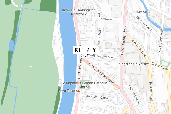
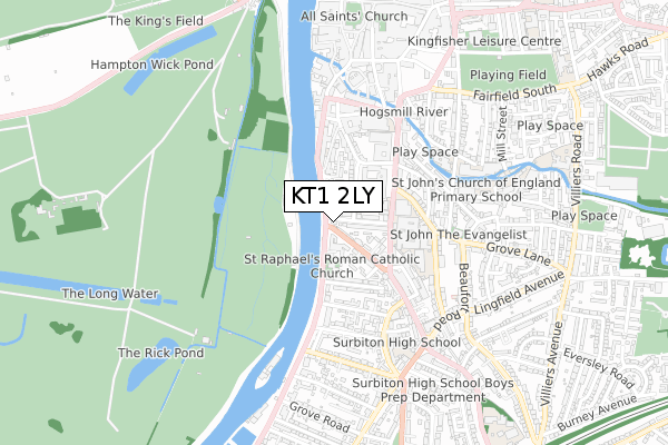
KT1 2LY maps


Source: OS Open Zoomstack (Ordnance Survey)
Licence: Open Government Licence (requires attribution)
Attribution: Contains OS data © Crown copyright and database right 2025
Source: Open Postcode Geo
Licence: Open Government Licence (requires attribution)
Attribution: Contains OS data © Crown copyright and database right 2025; Contains Royal Mail data © Royal Mail copyright and database right 2025; Source: Office for National Statistics licensed under the Open Government Licence v.3.0
Licence: Open Government Licence (requires attribution)
Attribution: Contains OS data © Crown copyright and database right 2025
Source: Open Postcode Geo
Licence: Open Government Licence (requires attribution)
Attribution: Contains OS data © Crown copyright and database right 2025; Contains Royal Mail data © Royal Mail copyright and database right 2025; Source: Office for National Statistics licensed under the Open Government Licence v.3.0
KT1 2LY geodata
| Easting | 517830 |
| Northing | 168527 |
| Latitude | 51.403541 |
| Longitude | -0.307408 |
Where is KT1 2LY?
| Country | England |
| Postcode District | KT1 |
Politics
| Ward | Kingston Town |
|---|---|
| Constituency | Kingston And Surbiton |
Transport
Nearest bus stops to KT1 2LY
| St Raphael's Church (Portsmouth Road) | Kingston Upon Thames | 42m |
| Surbiton Road Milestone Hse | Kingston Upon Thames | 69m |
| Woodbines Avenue (Portsmouth Road) | Kingston Upon Thames | 80m |
| Surbiton Road Milestone Hse | Kingston Upon Thames | 98m |
| St Raphael's Church | Kingston Upon Thames | 113m |
Nearest railway stations to KT1 2LY
| Kingston Station | 1.1km |
| Surbiton Station | 1.3km |
| Hampton Wick Station | 1.3km |
Deprivation
34.6% of English postcodes are less deprived than KT1 2LY:Food Standards Agency
Three nearest food hygiene ratings to KT1 2LY (metres)
Hermes Hotel

1 Portsmouth Road
192m
Masil

34 Surbiton Road
241m
MooBoo Bubble Tea

36 Surbiton Road
255m
➜ Get more ratings from the Food Standards Agency
Nearest post box to KT1 2LY
| Last Collection | |||
|---|---|---|---|
| Location | Mon-Fri | Sat | Distance |
| Riverside | 18:00 | 12:15 | 166m |
| County Hall | 17:45 | 12:15 | 276m |
| Surbiton Park Post Office | 17:30 | 12:00 | 333m |
Environment
| Risk of KT1 2LY flooding from rivers and sea | Low |
KT1 2LY ITL and KT1 2LY LAU
The below table lists the International Territorial Level (ITL) codes (formerly Nomenclature of Territorial Units for Statistics (NUTS) codes) and Local Administrative Units (LAU) codes for KT1 2LY:
| ITL 1 Code | Name |
|---|---|
| TLI | London |
| ITL 2 Code | Name |
| TLI6 | Outer London - South |
| ITL 3 Code | Name |
| TLI63 | Merton, Kingston upon Thames and Sutton |
| LAU 1 Code | Name |
| E09000021 | Kingston upon Thames |
KT1 2LY census areas
The below table lists the Census Output Area (OA), Lower Layer Super Output Area (LSOA), and Middle Layer Super Output Area (MSOA) for KT1 2LY:
| Code | Name | |
|---|---|---|
| OA | E00014922 | |
| LSOA | E01002965 | Kingston upon Thames 009A |
| MSOA | E02000606 | Kingston upon Thames 009 |
Nearest postcodes to KT1 2LY
| KT1 2JA | Surbiton Road | 28m |
| KT1 2LU | Portsmouth Road | 42m |
| KT1 2AX | Woodbines Avenue | 51m |
| KT1 2LZ | Portsmouth Road | 59m |
| KT1 2LT | Portsmouth Road | 59m |
| KT1 2JB | Surbiton Road | 69m |
| KT1 2AY | Woodbines Avenue | 111m |
| KT1 2NG | Portsmouth Road | 122m |
| KT1 2LX | Portsmouth Road | 123m |
| KT1 2AU | Milner Road | 132m |