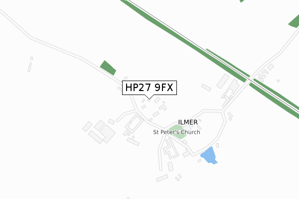
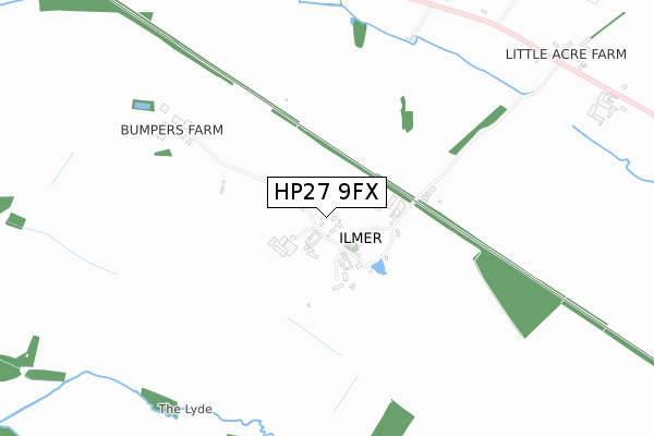
HP27 9FX is located in the The Risboroughs electoral ward, within the unitary authority of Buckinghamshire and the English Parliamentary constituency of Buckingham. The Sub Integrated Care Board (ICB) Location is NHS Buckinghamshire, Oxfordshire and Berkshire West ICB - 14Y and the police force is Thames Valley. This postcode has been in use since March 2019.


GetTheData
Source: OS Open Zoomstack (Ordnance Survey)
Licence: Open Government Licence (requires attribution)
Attribution: Contains OS data © Crown copyright and database right 2024
Source: Open Postcode Geo
Licence: Open Government Licence (requires attribution)
Attribution: Contains OS data © Crown copyright and database right 2024; Contains Royal Mail data © Royal Mail copyright and database right 2024; Source: Office for National Statistics licensed under the Open Government Licence v.3.0
| Easting | 476830 |
| Northing | 205597 |
| Latitude | 51.743822 |
| Longitude | -0.888590 |
GetTheData
Source: Open Postcode Geo
Licence: Open Government Licence
| Country | England |
| Postcode District | HP27 |
| ➜ HP27 open data dashboard ➜ See where HP27 is on a map ➜ Where is Ilmer? | |
GetTheData
Source: Land Registry Price Paid Data
Licence: Open Government Licence
| Ward | The Risboroughs |
| Constituency | Buckingham |
GetTheData
Source: ONS Postcode Database
Licence: Open Government Licence
| St Peter's Church (Green Lane) | Ilmer | 146m |
| Ilmer Turn (Thame Road) | Ilmer | 1,056m |
| Ilmer Turn (Thame Road) | Ilmer | 1,080m |
| Monks Risborough Station | 4.2km |
| Princes Risborough Station | 4.2km |
| Haddenham & Thame Parkway Station | 4.8km |
GetTheData
Source: NaPTAN
Licence: Open Government Licence
GetTheData
Source: ONS Postcode Database
Licence: Open Government Licence


➜ Get more ratings from the Food Standards Agency
GetTheData
Source: Food Standards Agency
Licence: FSA terms & conditions
| Last Collection | |||
|---|---|---|---|
| Location | Mon-Fri | Sat | Distance |
| Henton | 16:00 | 08:30 | 3,101m |
| Manor Road | 16:00 | 07:30 | 3,213m |
| Church End | 16:40 | 07:15 | 3,538m |
GetTheData
Source: Dracos
Licence: Creative Commons Attribution-ShareAlike
| Facility | Distance |
|---|---|
| Longwick C Of E Combined School Walnut Tree Lane, Longwick, Princes Risborough Grass Pitches | 2km |
| Longwick Sports Field The Green, Longwick Grass Pitches | 2.1km |
| Bledlow Village Cricket Club West Lane, Bledlow, Princes Risborough Grass Pitches | 3.5km |
GetTheData
Source: Active Places
Licence: Open Government Licence
| School | Phase of Education | Distance |
|---|---|---|
| Longwick Church of England Combined School Walnut Tree Lane, Longwick, Princes Risborough, HP27 9SJ | Primary | 2km |
| Haddenham St Mary's Church of England School Aston Road, Haddenham, Aylesbury, HP17 8AF | Primary | 3.5km |
| Haddenham Community Junior School Woodways, Haddenham, Aylesbury, HP17 8DS | Primary | 4.1km |
GetTheData
Source: Edubase
Licence: Open Government Licence
The below table lists the International Territorial Level (ITL) codes (formerly Nomenclature of Territorial Units for Statistics (NUTS) codes) and Local Administrative Units (LAU) codes for HP27 9FX:
| ITL 1 Code | Name |
|---|---|
| TLJ | South East (England) |
| ITL 2 Code | Name |
| TLJ1 | Berkshire, Buckinghamshire and Oxfordshire |
| ITL 3 Code | Name |
| TLJ13 | Buckinghamshire |
| LAU 1 Code | Name |
| E06000060 | Buckinghamshire |
GetTheData
Source: ONS Postcode Directory
Licence: Open Government Licence
The below table lists the Census Output Area (OA), Lower Layer Super Output Area (LSOA), and Middle Layer Super Output Area (MSOA) for HP27 9FX:
| Code | Name | |
|---|---|---|
| OA | E00090236 | |
| LSOA | E01017885 | Wycombe 002A |
| MSOA | E02003697 | Wycombe 002 |
GetTheData
Source: ONS Postcode Directory
Licence: Open Government Licence
| HP27 9RD | Ilmer | 55m |
| HP27 9RA | Ilmer | 173m |
| HP27 9QZ | Ilmer | 269m |
| HP27 9QX | Thame Road | 989m |
| HP27 9QU | Thame Road | 1132m |
| HP27 9TA | Thame Road | 1543m |
| HP27 9SZ | Ash Cottages | 1631m |
| HP27 9SY | Thame Road | 1654m |
| HP27 9SW | Thame Road | 1664m |
| HP27 9SX | Thame Road | 1670m |
GetTheData
Source: Open Postcode Geo; Land Registry Price Paid Data
Licence: Open Government Licence