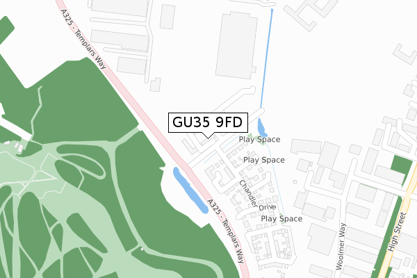
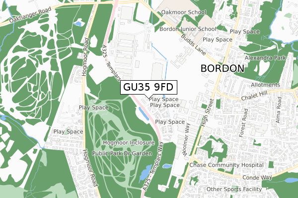
GU35 9FD is located in the Whitehill Hogmoor & Greatham electoral ward, within the local authority district of East Hampshire and the English Parliamentary constituency of East Hampshire. The Sub Integrated Care Board (ICB) Location is NHS Hampshire and Isle of Wight ICB - D9Y0V and the police force is Hampshire. This postcode has been in use since October 2020.


GetTheData
Source: OS Open Zoomstack (Ordnance Survey)
Licence: Open Government Licence (requires attribution)
Attribution: Contains OS data © Crown copyright and database right 2024
Source: Open Postcode Geo
Licence: Open Government Licence (requires attribution)
Attribution: Contains OS data © Crown copyright and database right 2024; Contains Royal Mail data © Royal Mail copyright and database right 2024; Source: Office for National Statistics licensed under the Open Government Licence v.3.0
| Easting | 479111 |
| Northing | 135286 |
| Latitude | 51.111414 |
| Longitude | -0.871244 |
GetTheData
Source: Open Postcode Geo
Licence: Open Government Licence
| Country | England |
| Postcode District | GU35 |
| ➜ GU35 open data dashboard ➜ See where GU35 is on a map ➜ Where is Bordon? | |
GetTheData
Source: Land Registry Price Paid Data
Licence: Open Government Licence
| Ward | Whitehill Hogmoor & Greatham |
| Constituency | East Hampshire |
GetTheData
Source: ONS Postcode Database
Licence: Open Government Licence
3, THORPE CLOSE, BORDON, GU35 9FD 2020 13 NOV £372,000 |
2, THORPE CLOSE, BORDON, GU35 9FD 2020 13 NOV £258,000 |
5, THORPE CLOSE, BORDON, GU35 9FD 2020 12 NOV £365,000 |
6, THORPE CLOSE, BORDON, GU35 9FD 2020 6 NOV £250,000 |
1, THORPE CLOSE, BORDON, GU35 9FD 2020 30 OCT £363,500 |
4, THORPE CLOSE, BORDON, GU35 9FD 2020 23 OCT £375,000 |
8, THORPE CLOSE, BORDON, GU35 9FD 2020 9 OCT £375,000 |
GetTheData
Source: HM Land Registry Price Paid Data
Licence: Contains HM Land Registry data © Crown copyright and database right 2024. This data is licensed under the Open Government Licence v3.0.
| June 2022 | Criminal damage and arson | On or near Woolmer Way | 422m |
| June 2022 | Anti-social behaviour | On or near High Street | 498m |
| May 2022 | Violence and sexual offences | On or near Woolmer Way | 422m |
| ➜ Get more crime data in our Crime section | |||
GetTheData
Source: data.police.uk
Licence: Open Government Licence
| Highview Business Centre (High Street) | Bordon | 528m |
| Highview Business Centre (High Street) | Bordon | 533m |
| Whitehill Chase (High Street) | Bordon | 551m |
| Hogmoor Caravan Site (Hogmoor Road) | Bordon | 570m |
| Tesco (Woolmer Road) | Bordon | 574m |
GetTheData
Source: NaPTAN
Licence: Open Government Licence
GetTheData
Source: ONS Postcode Database
Licence: Open Government Licence


➜ Get more ratings from the Food Standards Agency
GetTheData
Source: Food Standards Agency
Licence: FSA terms & conditions
| Last Collection | |||
|---|---|---|---|
| Location | Mon-Fri | Sat | Distance |
| Tesco | 16:45 | 12:00 | 541m |
| Budds Lane | 17:15 | 11:30 | 623m |
| Chalet Hill | 17:15 | 12:00 | 865m |
GetTheData
Source: Dracos
Licence: Creative Commons Attribution-ShareAlike
| Facility | Distance |
|---|---|
| Whitehill And Bordon Leisure Centre Alamein Avenue, Bordon Health and Fitness Gym, Swimming Pool, Studio | 421m |
| Bordon Garrison Swimming Pool (Closed) Budds Lane, Bordon Swimming Pool, Studio | 545m |
| Bordon Garrison Barracks (Closed) Hampshire Road, Bordon Grass Pitches | 807m |
GetTheData
Source: Active Places
Licence: Open Government Licence
| School | Phase of Education | Distance |
|---|---|---|
| Bordon Infant School Budds Lane, Bordon, GU35 0JB | Primary | 620m |
| Bordon Junior School Budds Lane, Bordon, GU35 0JB | Primary | 693m |
| Woodlea Primary School Atholl Road, Whitehill, Bordon, GU35 9QX | Primary | 1.4km |
GetTheData
Source: Edubase
Licence: Open Government Licence
The below table lists the International Territorial Level (ITL) codes (formerly Nomenclature of Territorial Units for Statistics (NUTS) codes) and Local Administrative Units (LAU) codes for GU35 9FD:
| ITL 1 Code | Name |
|---|---|
| TLJ | South East (England) |
| ITL 2 Code | Name |
| TLJ3 | Hampshire and Isle of Wight |
| ITL 3 Code | Name |
| TLJ36 | Central Hampshire |
| LAU 1 Code | Name |
| E07000085 | East Hampshire |
GetTheData
Source: ONS Postcode Directory
Licence: Open Government Licence
The below table lists the Census Output Area (OA), Lower Layer Super Output Area (LSOA), and Middle Layer Super Output Area (MSOA) for GU35 9FD:
| Code | Name | |
|---|---|---|
| OA | E00115085 | |
| LSOA | E01032663 | East Hampshire 008E |
| MSOA | E02004704 | East Hampshire 008 |
GetTheData
Source: ONS Postcode Directory
Licence: Open Government Licence
| GU35 9QE | Woolmer Way | 344m |
| GU35 0AX | High Street | 473m |
| GU35 0AY | High Street | 539m |
| GU35 0BA | Lynton Road | 544m |
| GU35 0FD | Oldfield Close | 564m |
| GU35 0TG | Chalet Court | 591m |
| GU35 0BU | Manica Close | 593m |
| GU35 9HN | Hogmoor Road | 597m |
| GU35 0BB | Devon Road | 620m |
| GU35 0BE | Somerset Avenue | 638m |
GetTheData
Source: Open Postcode Geo; Land Registry Price Paid Data
Licence: Open Government Licence