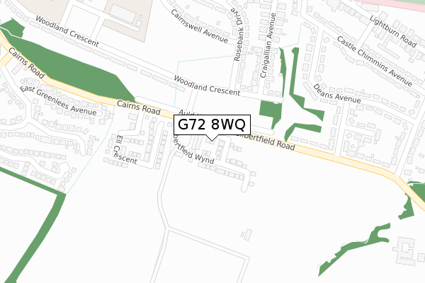
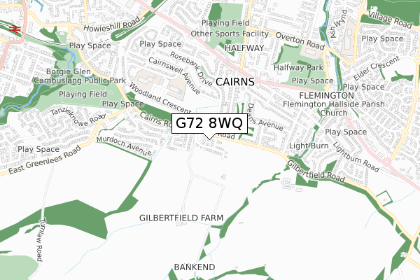
G72 8WQ is located in the Cambuslang East electoral ward, within the council area of South Lanarkshire and the Scottish Parliamentary constituency of Rutherglen and Hamilton West. The Community Health Partnership is South Lanarkshire Community Health Partnership and the police force is Scotland. This postcode has been in use since September 2019.


GetTheData
Source: OS Open Zoomstack (Ordnance Survey)
Licence: Open Government Licence (requires attribution)
Attribution: Contains OS data © Crown copyright and database right 2024
Source: Open Postcode Geo
Licence: Open Government Licence (requires attribution)
Attribution: Contains OS data © Crown copyright and database right 2024; Contains Royal Mail data © Royal Mail copyright and database right 2024; Source: Office for National Statistics licensed under the Open Government Licence v.3.0
| Easting | 265518 |
| Northing | 659268 |
| Latitude | 55.807901 |
| Longitude | -4.147319 |
GetTheData
Source: Open Postcode Geo
Licence: Open Government Licence
| Country | Scotland |
| Postcode District | G72 |
| ➜ G72 open data dashboard ➜ See where G72 is on a map ➜ Where is Greenlees? | |
GetTheData
Source: Land Registry Price Paid Data
Licence: Open Government Licence
| Ward | Cambuslang East |
| Constituency | Rutherglen And Hamilton West |
GetTheData
Source: ONS Postcode Database
Licence: Open Government Licence
| Rosebank Drive (Woodlands Crescent) | Cairns | 197m |
| Trinity Drive (Woodland Crescent) | Cairns | 207m |
| Dechmont Avenue (Gilbertfield Road) | Cairns | 286m |
| Wellside Road (Rosebank Drive) | Cairns | 401m |
| Wellside Drive (Rosebank Drive) | Cairns | 408m |
| Kirkhill Station | 1.4km |
| Newton (S Lanarks) Station | 1.5km |
| Cambuslang Station | 2.1km |
GetTheData
Source: NaPTAN
Licence: Open Government Licence
GetTheData
Source: ONS Postcode Database
Licence: Open Government Licence


➜ Get more ratings from the Food Standards Agency
GetTheData
Source: Food Standards Agency
Licence: FSA terms & conditions
| Last Collection | |||
|---|---|---|---|
| Location | Mon-Fri | Sat | Distance |
| Greenlees Road | 17:00 | 11:30 | 663m |
| Redlawood Road | 17:00 | 12:00 | 2,090m |
| Nerston | 10:45 | 09:00 | 2,568m |
GetTheData
Source: Dracos
Licence: Creative Commons Attribution-ShareAlike
The below table lists the International Territorial Level (ITL) codes (formerly Nomenclature of Territorial Units for Statistics (NUTS) codes) and Local Administrative Units (LAU) codes for G72 8WQ:
| ITL 1 Code | Name |
|---|---|
| TLM | Scotland |
| ITL 2 Code | Name |
| TLM9 | Southern Scotland |
| ITL 3 Code | Name |
| TLM95 | South Lanarkshire |
| LAU 1 Code | Name |
| S30000025 | South Lanarkshire |
GetTheData
Source: ONS Postcode Directory
Licence: Open Government Licence
The below table lists the Census Output Area (OA), Lower Layer Super Output Area (LSOA), and Middle Layer Super Output Area (MSOA) for G72 8WQ:
| Code | Name | |
|---|---|---|
| OA | S00130568 | |
| LSOA | S01012900 | Nerston and EK Landward Area - 07 |
| MSOA | S02002416 | Nerston and EK Landward Area |
GetTheData
Source: ONS Postcode Directory
Licence: Open Government Licence