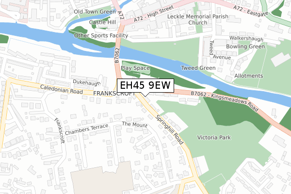
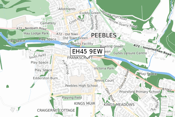
EH45 9EW is located in the Tweeddale East electoral ward, within the council area of Scottish Borders and the Scottish Parliamentary constituency of Dumfriesshire, Clydesdale and Tweeddale. The Community Health Partnership is Scottish Borders Community Health & Care Partnership and the police force is Scotland. This postcode has been in use since January 1980.


GetTheData
Source: OS Open Zoomstack (Ordnance Survey)
Licence: Open Government Licence (requires attribution)
Attribution: Contains OS data © Crown copyright and database right 2024
Source: Open Postcode Geo
Licence: Open Government Licence (requires attribution)
Attribution: Contains OS data © Crown copyright and database right 2024; Contains Royal Mail data © Royal Mail copyright and database right 2024; Source: Office for National Statistics licensed under the Open Government Licence v.3.0
| Easting | 325143 |
| Northing | 640140 |
| Latitude | 55.649007 |
| Longitude | -3.191051 |
GetTheData
Source: Open Postcode Geo
Licence: Open Government Licence
| Country | Scotland |
| Postcode District | EH45 |
| ➜ EH45 open data dashboard ➜ See where EH45 is on a map ➜ Where is Peebles? | |
GetTheData
Source: Land Registry Price Paid Data
Licence: Open Government Licence
| Ward | Tweeddale East |
| Constituency | Dumfriesshire, Clydesdale And Tweeddale |
GetTheData
Source: ONS Postcode Database
Licence: Open Government Licence
| Car Park (Kingsmeadows Road) | Peebles | 40m |
| Priorsford Bridge (Kingsmeadows Road) | Peebles | 206m |
| Dukehaugh (Caledonian Road) | Peebles | 227m |
| Victoria Park (Springhill Road) | Peebles | 255m |
| Bank Of Scotland (High Street) | Peebles | 276m |
GetTheData
Source: NaPTAN
Licence: Open Government Licence
GetTheData
Source: ONS Postcode Database
Licence: Open Government Licence


➜ Get more ratings from the Food Standards Agency
GetTheData
Source: Food Standards Agency
Licence: FSA terms & conditions
| Last Collection | |||
|---|---|---|---|
| Location | Mon-Fri | Sat | Distance |
| The Mount | 16:30 | 11:00 | 131m |
| Caledonian Road | 16:30 | 11:00 | 139m |
| 41 High Street | 17:00 | 11:45 | 271m |
GetTheData
Source: Dracos
Licence: Creative Commons Attribution-ShareAlike
The below table lists the International Territorial Level (ITL) codes (formerly Nomenclature of Territorial Units for Statistics (NUTS) codes) and Local Administrative Units (LAU) codes for EH45 9EW:
| ITL 1 Code | Name |
|---|---|
| TLM | Scotland |
| ITL 2 Code | Name |
| TLM9 | Southern Scotland |
| ITL 3 Code | Name |
| TLM91 | Scottish Borders |
| LAU 1 Code | Name |
| S30000007 | Scottish Borders |
GetTheData
Source: ONS Postcode Directory
Licence: Open Government Licence
The below table lists the Census Output Area (OA), Lower Layer Super Output Area (LSOA), and Middle Layer Super Output Area (MSOA) for EH45 9EW:
| Code | Name | |
|---|---|---|
| OA | S00095476 | |
| LSOA | S01012259 | Peebles - S - Caledonian-Springhill |
| MSOA | S02002294 | Peebles South |
GetTheData
Source: ONS Postcode Directory
Licence: Open Government Licence