Property/Postcode Data Search:
E14 6UD maps, stats, and open data
E14 6UD is located in the Lansbury electoral ward, within the London borough of Tower Hamlets and the English Parliamentary constituency of Poplar and Limehouse. The Sub Integrated Care Board (ICB) Location is NHS North East London ICB - A3A8R and the police force is Metropolitan Police. This postcode has been in use since September 2019.
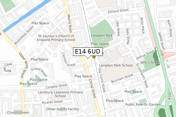
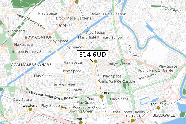
E14 6UD maps


Source: OS Open Zoomstack (Ordnance Survey)
Licence: Open Government Licence (requires attribution)
Attribution: Contains OS data © Crown copyright and database right 2025
Source: Open Postcode Geo
Licence: Open Government Licence (requires attribution)
Attribution: Contains OS data © Crown copyright and database right 2025; Contains Royal Mail data © Royal Mail copyright and database right 2025; Source: Office for National Statistics licensed under the Open Government Licence v.3.0
Licence: Open Government Licence (requires attribution)
Attribution: Contains OS data © Crown copyright and database right 2025
Source: Open Postcode Geo
Licence: Open Government Licence (requires attribution)
Attribution: Contains OS data © Crown copyright and database right 2025; Contains Royal Mail data © Royal Mail copyright and database right 2025; Source: Office for National Statistics licensed under the Open Government Licence v.3.0
E14 6UD geodata
| Easting | 537859 |
| Northing | 181446 |
| Latitude | 51.515125 |
| Longitude | -0.014600 |
Where is E14 6UD?
| Country | England |
| Postcode District | E14 |
Politics
| Ward | Lansbury |
|---|---|
| Constituency | Poplar And Limehouse |
Transport
Nearest bus stops to E14 6UD
| Langdon Park (Chrisp Street) | All Saints | 58m |
| Langdon Park (Chrisp Street) | All Saints | 80m |
| Chrisp Street Market (Cordelia Street) | All Saints | 143m |
| Chrisp Street Market (Cordelia Street) | All Saints | 144m |
| Hay Currie Street (Burcham Street) | All Saints | 175m |
Nearest underground/metro/tram to E14 6UD
| Langdon Park Dlr Station (Hay Currie Street) | Poplar | 34m |
| All Saints Dlr Station (East India Dock Road) | All Saints | 471m |
| Poplar Dlr Station (Castor Lane) | Poplar | 843m |
| Devons Road Dlr Station (Devons Road) | Devons Road | 864m |
| Blackwall Dlr Station (Preston's Road) | Blackwall | 955m |
Nearest railway stations to E14 6UD
| Limehouse Station | 1.8km |
| West Ham Station | 2km |
| Shadwell Station | 3km |
Deprivation
76.2% of English postcodes are less deprived than E14 6UD:Food Standards Agency
Three nearest food hygiene ratings to E14 6UD (metres)
Little Genius Day Nursery

29 Radial Avenue
13m
The Village Fayre

Telford Homes
35m
Buffalo

Unit 2
37m
➜ Get more ratings from the Food Standards Agency
Nearest post box to E14 6UD
| Last Collection | |||
|---|---|---|---|
| Location | Mon-Fri | Sat | Distance |
| Godalming Road | 17:30 | 11:30 | 148m |
| Willis Street | 17:30 | 11:30 | 372m |
| Teviot Street | 17:30 | 11:30 | 473m |
Environment
| Risk of E14 6UD flooding from rivers and sea | Very Low |
E14 6UD ITL and E14 6UD LAU
The below table lists the International Territorial Level (ITL) codes (formerly Nomenclature of Territorial Units for Statistics (NUTS) codes) and Local Administrative Units (LAU) codes for E14 6UD:
| ITL 1 Code | Name |
|---|---|
| TLI | London |
| ITL 2 Code | Name |
| TLI4 | Inner London - East |
| ITL 3 Code | Name |
| TLI42 | Tower Hamlets |
| LAU 1 Code | Name |
| E09000030 | Tower Hamlets |
E14 6UD census areas
The below table lists the Census Output Area (OA), Lower Layer Super Output Area (LSOA), and Middle Layer Super Output Area (MSOA) for E14 6UD:
| Code | Name | |
|---|---|---|
| OA | E00021385 | |
| LSOA | E01004246 | Tower Hamlets 018B |
| MSOA | E02000881 | Tower Hamlets 018 |
Nearest postcodes to E14 6UD
| E14 6ET | Chrisp Street | 37m |
| E14 6NL | Chrisp Street | 37m |
| E14 6NW | Carmen Street | 73m |
| E14 6NH | Chrisp Street | 100m |
| E14 6GH | Cordelia Street | 104m |
| E14 6GJ | Equinox Square | 124m |
| E14 6NN | Carron Close | 128m |
| E14 6AT | Cordelia Street | 146m |
| E14 6AX | Carmen Street | 149m |
| E14 6PQ | Chrisp Street | 160m |