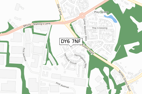
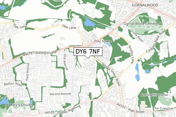
DY6 7NF is located in the Brockmoor and Pensnett electoral ward, within the metropolitan district of Dudley and the English Parliamentary constituency of Dudley South. The Sub Integrated Care Board (ICB) Location is NHS Black Country ICB - D2P2L and the police force is West Midlands. This postcode has been in use since September 2019.


GetTheData
Source: OS Open Zoomstack (Ordnance Survey)
Licence: Open Government Licence (requires attribution)
Attribution: Contains OS data © Crown copyright and database right 2025
Source: Open Postcode Geo
Licence: Open Government Licence (requires attribution)
Attribution: Contains OS data © Crown copyright and database right 2025; Contains Royal Mail data © Royal Mail copyright and database right 2025; Source: Office for National Statistics licensed under the Open Government Licence v.3.0
| Easting | 390313 |
| Northing | 290069 |
| Latitude | 52.508441 |
| Longitude | -2.144148 |
GetTheData
Source: Open Postcode Geo
Licence: Open Government Licence
| Country | England |
| Postcode District | DY6 |
➜ See where DY6 is on a map ➜ Where is Kingswinford? | |
GetTheData
Source: Land Registry Price Paid Data
Licence: Open Government Licence
| Ward | Brockmoor And Pensnett |
| Constituency | Dudley South |
GetTheData
Source: ONS Postcode Database
Licence: Open Government Licence
2024 6 DEC £370,000 |
2024 26 JAN £340,000 |
2022 4 MAR £347,500 |
30, HERRINGBONE WAY, KINGSWINFORD, DY6 7NF 2021 28 JUL £279,950 |
76, HERRINGBONE WAY, KINGSWINFORD, DY6 7NF 2021 18 JUN £308,950 |
78, HERRINGBONE WAY, KINGSWINFORD, DY6 7NF 2021 18 JUN £328,950 |
28, HERRINGBONE WAY, KINGSWINFORD, DY6 7NF 2021 12 FEB £273,365 |
2021 5 FEB £298,950 |
18, HERRINGBONE WAY, KINGSWINFORD, DY6 7NF 2020 4 DEC £288,950 |
26, HERRINGBONE WAY, KINGSWINFORD, DY6 7NF 2020 6 NOV £303,950 |
GetTheData
Source: HM Land Registry Price Paid Data
Licence: Contains HM Land Registry data © Crown copyright and database right 2025. This data is licensed under the Open Government Licence v3.0.
| Tansey Green Rd (Stallings Lane) | Tansey Green | 117m |
| Tansey Green Rd (Stallings Lane) | Tansey Green | 128m |
| Second Avenue (Stallings Lane) | Tansey Green | 271m |
| Second Avenue (Stallings Lane) | Tansey Green | 345m |
| Sandfield Bridge (Stallings Lane) | Tansey Green | 400m |
| Cradley Heath Station | 5.6km |
| Coseley Station | 5.7km |
GetTheData
Source: NaPTAN
Licence: Open Government Licence
GetTheData
Source: ONS Postcode Database
Licence: Open Government Licence


➜ Get more ratings from the Food Standards Agency
GetTheData
Source: Food Standards Agency
Licence: FSA terms & conditions
| Last Collection | |||
|---|---|---|---|
| Location | Mon-Fri | Sat | Distance |
| Standhills Road | 17:30 | 11:30 | 1,516m |
| Hinksford | 18:30 | 11:00 | 1,548m |
| Brookdale | 17:30 | 11:00 | 1,564m |
GetTheData
Source: Dracos
Licence: Creative Commons Attribution-ShareAlike
The below table lists the International Territorial Level (ITL) codes (formerly Nomenclature of Territorial Units for Statistics (NUTS) codes) and Local Administrative Units (LAU) codes for DY6 7NF:
| ITL 1 Code | Name |
|---|---|
| TLG | West Midlands (England) |
| ITL 2 Code | Name |
| TLG3 | West Midlands |
| ITL 3 Code | Name |
| TLG36 | Dudley |
| LAU 1 Code | Name |
| E08000027 | Dudley |
GetTheData
Source: ONS Postcode Directory
Licence: Open Government Licence
The below table lists the Census Output Area (OA), Lower Layer Super Output Area (LSOA), and Middle Layer Super Output Area (MSOA) for DY6 7NF:
| Code | Name | |
|---|---|---|
| OA | E00049666 | |
| LSOA | E01009816 | Dudley 012A |
| MSOA | E02002011 | Dudley 012 |
GetTheData
Source: ONS Postcode Directory
Licence: Open Government Licence
| DY6 7BF | Halt Mews | 92m |
| DY6 7LR | Stallings Lane | 126m |
| DY6 7LT | Rushlight Gardens | 165m |
| DY6 7BA | Great Western Way | 169m |
| DY6 7LU | Bobeche Place | 203m |
| DY6 7AN | Coach Mews | 236m |
| DY6 7LQ | Chandler Drive | 247m |
| DY6 7AL | The Crossing | 268m |
| DY6 7LW | Taper Close | 282m |
| DY6 7AR | Dencliffe | 321m |
GetTheData
Source: Open Postcode Geo; Land Registry Price Paid Data
Licence: Open Government Licence