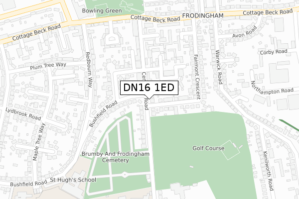
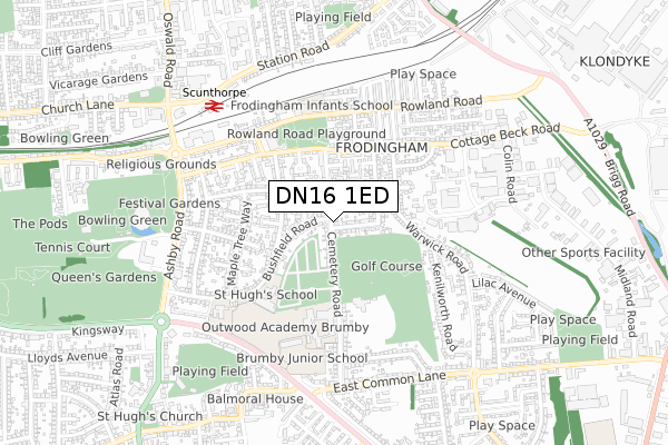
DN16 1ED is located in the Frodingham electoral ward, within the unitary authority of North Lincolnshire and the English Parliamentary constituency of Scunthorpe. The Sub Integrated Care Board (ICB) Location is NHS Humber and North Yorkshire ICB - 03K and the police force is Humberside. This postcode has been in use since April 2020.


GetTheData
Source: OS Open Zoomstack (Ordnance Survey)
Licence: Open Government Licence (requires attribution)
Attribution: Contains OS data © Crown copyright and database right 2024
Source: Open Postcode Geo
Licence: Open Government Licence (requires attribution)
Attribution: Contains OS data © Crown copyright and database right 2024; Contains Royal Mail data © Royal Mail copyright and database right 2024; Source: Office for National Statistics licensed under the Open Government Licence v.3.0
| Easting | 489988 |
| Northing | 409688 |
| Latitude | 53.576102 |
| Longitude | -0.642424 |
GetTheData
Source: Open Postcode Geo
Licence: Open Government Licence
| Country | England |
| Postcode District | DN16 |
| ➜ DN16 open data dashboard ➜ See where DN16 is on a map ➜ Where is Scunthorpe? | |
GetTheData
Source: Land Registry Price Paid Data
Licence: Open Government Licence
| Ward | Frodingham |
| Constituency | Scunthorpe |
GetTheData
Source: ONS Postcode Database
Licence: Open Government Licence
| June 2022 | Other theft | On or near Shirley Crescent | 91m |
| June 2022 | Burglary | On or near Shirley Crescent | 91m |
| June 2022 | Violence and sexual offences | On or near Shirley Crescent | 91m |
| ➜ Get more crime data in our Crime section | |||
GetTheData
Source: data.police.uk
Licence: Open Government Licence
| Brumby Resource Centre (East Common Lane) | New Brumby | 85m |
| Brumby Resource Centre (East Common Lane) | New Brumby | 91m |
| Hampton Road (East Common Lane) | New Brumby | 171m |
| Hampton Road (Cemetery Road) | Old Brumby | 178m |
| Hampton Road (East Common Lane) | New Brumby | 197m |
| Scunthorpe Station | 1.3km |
GetTheData
Source: NaPTAN
Licence: Open Government Licence
GetTheData
Source: ONS Postcode Database
Licence: Open Government Licence


➜ Get more ratings from the Food Standards Agency
GetTheData
Source: Food Standards Agency
Licence: FSA terms & conditions
| Last Collection | |||
|---|---|---|---|
| Location | Mon-Fri | Sat | Distance |
| East Common Lane P.o. | 17:15 | 11:30 | 215m |
| Chestnut Way | 17:45 | 12:30 | 268m |
| Old Brumby Street | 17:45 | 12:30 | 499m |
GetTheData
Source: Dracos
Licence: Creative Commons Attribution-ShareAlike
| Facility | Distance |
|---|---|
| Outwood Academy Brumby Cemetery Road, Scunthorpe Grass Pitches, Sports Hall | 332m |
| Appleby Frodingham Social Club Cemetery Road, Scunthorpe Golf, Grass Pitches | 379m |
| St Hughs School (Scunthorpe) Bushfield Road, Scunthorpe Sports Hall | 571m |
GetTheData
Source: Active Places
Licence: Open Government Licence
| School | Phase of Education | Distance |
|---|---|---|
| Outwood Academy Brumby Cemetery Road, Scunthorpe, DN16 1NT | Secondary | 293m |
| Outwood Junior Academy Brumby Queensway, Scunthorpe, DN16 2HY | Primary | 362m |
| St Hugh's Special School Bushfield Road, Scunthorpe, DN16 1NB | Not applicable | 590m |
GetTheData
Source: Edubase
Licence: Open Government Licence
The below table lists the International Territorial Level (ITL) codes (formerly Nomenclature of Territorial Units for Statistics (NUTS) codes) and Local Administrative Units (LAU) codes for DN16 1ED:
| ITL 1 Code | Name |
|---|---|
| TLE | Yorkshire and The Humber |
| ITL 2 Code | Name |
| TLE1 | East Yorkshire and Northern Lincolnshire |
| ITL 3 Code | Name |
| TLE13 | North and North East Lincolnshire |
| LAU 1 Code | Name |
| E06000013 | North Lincolnshire |
GetTheData
Source: ONS Postcode Directory
Licence: Open Government Licence
The below table lists the Census Output Area (OA), Lower Layer Super Output Area (LSOA), and Middle Layer Super Output Area (MSOA) for DN16 1ED:
| Code | Name | |
|---|---|---|
| OA | E00067182 | |
| LSOA | E01013314 | North Lincolnshire 010D |
| MSOA | E02002758 | North Lincolnshire 010 |
GetTheData
Source: ONS Postcode Directory
Licence: Open Government Licence
| DN16 1NX | Shirley Crescent | 95m |
| DN16 1QH | East Common Lane | 96m |
| DN16 2HZ | Queensway | 107m |
| DN16 1NY | East Common Lane | 152m |
| DN16 1QQ | East Common Lane | 157m |
| DN16 1QJ | Hampton Road | 161m |
| DN16 1QE | Warley Avenue | 173m |
| DN16 1QB | Warley Drive | 186m |
| DN16 1PA | East Common Lane | 188m |
| DN16 2ES | Almond Grove | 205m |
GetTheData
Source: Open Postcode Geo; Land Registry Price Paid Data
Licence: Open Government Licence