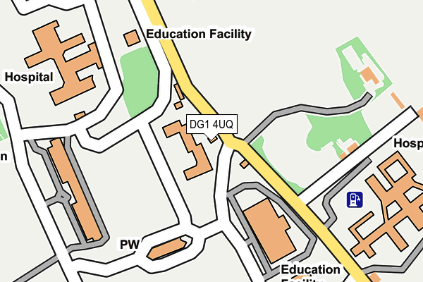
DG1 4UQ is located in the Nith electoral ward, within the council area of Dumfries and Galloway and the Scottish Parliamentary constituency of Dumfriesshire, Clydesdale and Tweeddale. The Community Health Partnership is Dumfries & Galloway Community Health Partnership and the police force is Scotland. This postcode has been in use since February 1994.


GetTheData
Source: OS OpenMap – Local (Ordnance Survey)
Source: OS VectorMap District (Ordnance Survey)
Licence: Open Government Licence (requires attribution)
| Easting | 298333 |
| Northing | 574252 |
| Latitude | 55.052320 |
| Longitude | -3.592958 |
GetTheData
Source: Open Postcode Geo
Licence: Open Government Licence
| Country | Scotland |
| Postcode District | DG1 |
| ➜ DG1 open data dashboard ➜ See where DG1 is on a map ➜ Where is Dumfries? | |
GetTheData
Source: Land Registry Price Paid Data
Licence: Open Government Licence
| Ward | Nith |
| Constituency | Dumfriesshire, Clydesdale And Tweeddale |
GetTheData
Source: ONS Postcode Database
Licence: Open Government Licence
| Campus (Campus Road) | Crichton | 229m |
| Bankend Rd (Bankend Road) | Crichton | 273m |
| Campus (Crichton Road) | Crichton | 335m |
| Campus (Campus Road) | Crichton | 341m |
| Campus (Campus Road) | Crichton | 423m |
| Dumfries Station | 2.4km |
GetTheData
Source: NaPTAN
Licence: Open Government Licence
GetTheData
Source: ONS Postcode Database
Licence: Open Government Licence


➜ Get more ratings from the Food Standards Agency
GetTheData
Source: Food Standards Agency
Licence: FSA terms & conditions
| Last Collection | |||
|---|---|---|---|
| Location | Mon-Fri | Sat | Distance |
| Crichton Park | 17:30 | 11:30 | 58m |
| Well Green | 12:00 | 11:45 | 479m |
| Castledykes Estate | 16:00 | 11:45 | 809m |
GetTheData
Source: Dracos
Licence: Creative Commons Attribution-ShareAlike
The below table lists the International Territorial Level (ITL) codes (formerly Nomenclature of Territorial Units for Statistics (NUTS) codes) and Local Administrative Units (LAU) codes for DG1 4UQ:
| ITL 1 Code | Name |
|---|---|
| TLM | Scotland |
| ITL 2 Code | Name |
| TLM9 | Southern Scotland |
| ITL 3 Code | Name |
| TLM92 | Dumfries and Galloway |
| LAU 1 Code | Name |
| S30000016 | Dumfries and Galloway |
GetTheData
Source: ONS Postcode Directory
Licence: Open Government Licence
The below table lists the Census Output Area (OA), Lower Layer Super Output Area (LSOA), and Middle Layer Super Output Area (MSOA) for DG1 4UQ:
| Code | Name | |
|---|---|---|
| OA | S00098379 | |
| LSOA | S01007599 | Kingholm - 03 |
| MSOA | S02001427 | Kingholm |
GetTheData
Source: ONS Postcode Directory
Licence: Open Government Licence