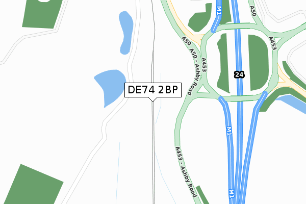
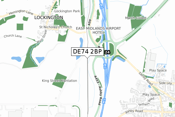
DE74 2BP is located in the Kegworth electoral ward, within the local authority district of North West Leicestershire and the English Parliamentary constituency of North West Leicestershire. The Sub Integrated Care Board (ICB) Location is NHS Leicester, Leicestershire and Rutland ICB - 04V and the police force is Leicestershire. This postcode has been in use since March 2019.


GetTheData
Source: OS Open Zoomstack (Ordnance Survey)
Licence: Open Government Licence (requires attribution)
Attribution: Contains OS data © Crown copyright and database right 2024
Source: Open Postcode Geo
Licence: Open Government Licence (requires attribution)
Attribution: Contains OS data © Crown copyright and database right 2024; Contains Royal Mail data © Royal Mail copyright and database right 2024; Source: Office for National Statistics licensed under the Open Government Licence v.3.0
| Easting | 447168 |
| Northing | 327354 |
| Latitude | 52.841658 |
| Longitude | -1.301170 |
GetTheData
Source: Open Postcode Geo
Licence: Open Government Licence
| Country | England |
| Postcode District | DE74 |
| ➜ DE74 open data dashboard ➜ See where DE74 is on a map | |
GetTheData
Source: Land Registry Price Paid Data
Licence: Open Government Licence
| Ward | Kegworth |
| Constituency | North West Leicestershire |
GetTheData
Source: ONS Postcode Database
Licence: Open Government Licence
| June 2022 | Public order | On or near Church Street | 497m |
| March 2022 | Other theft | On or near Parking Area | 149m |
| March 2022 | Public order | On or near Church Street | 497m |
| ➜ Get more crime data in our Crime section | |||
GetTheData
Source: data.police.uk
Licence: Open Government Licence
| M1 Bridge (Ashby Road) | Kegworth | 894m |
| M1 Bridge (Ashby Road) | Kegworth | 916m |
| Suthers Road (Ashby Road) | Kegworth | 1,032m |
| Suthers Road (Ashby Road) | Kegworth | 1,036m |
| Whitehouse Hotel (Packington Hill) | Kegworth | 1,130m |
| East Midlands Parkway Station | 3.5km |
| Long Eaton Station | 4.9km |
GetTheData
Source: NaPTAN
Licence: Open Government Licence
GetTheData
Source: ONS Postcode Database
Licence: Open Government Licence


➜ Get more ratings from the Food Standards Agency
GetTheData
Source: Food Standards Agency
Licence: FSA terms & conditions
| Last Collection | |||
|---|---|---|---|
| Location | Mon-Fri | Sat | Distance |
| Old Lockington Post Office | 16:00 | 10:30 | 813m |
| Langley Drive | 17:00 | 10:30 | 1,084m |
| Sideley | 17:00 | 10:30 | 1,366m |
GetTheData
Source: Dracos
Licence: Creative Commons Attribution-ShareAlike
| Facility | Distance |
|---|---|
| Livingwell Health Club (East Midlands) Ashby Road, Castle Donington Swimming Pool, Health and Fitness Gym | 603m |
| Kegworth Hotel Packington Hill, Kegworth, Derby Health and Fitness Gym, Swimming Pool | 1.2km |
| Reeds Health Club & Spa Packington Hill, Kegworth, Derby Health and Fitness Gym, Swimming Pool | 1.2km |
GetTheData
Source: Active Places
Licence: Open Government Licence
| School | Phase of Education | Distance |
|---|---|---|
| Kegworth Primary School High Street, Kegworth, Derby, DE74 2DA | Primary | 1.5km |
| Hemington Primary School Main Street, Hemington, Derby, DE74 2RB | Primary | 1.7km |
| Castle Donington College Mount Pleasant, Castle Donington, Derby, DE74 2LN | Secondary | 2.4km |
GetTheData
Source: Edubase
Licence: Open Government Licence
The below table lists the International Territorial Level (ITL) codes (formerly Nomenclature of Territorial Units for Statistics (NUTS) codes) and Local Administrative Units (LAU) codes for DE74 2BP:
| ITL 1 Code | Name |
|---|---|
| TLF | East Midlands (England) |
| ITL 2 Code | Name |
| TLF2 | Leicestershire, Rutland and Northamptonshire |
| ITL 3 Code | Name |
| TLF22 | Leicestershire CC and Rutland |
| LAU 1 Code | Name |
| E07000134 | North West Leicestershire |
GetTheData
Source: ONS Postcode Directory
Licence: Open Government Licence
The below table lists the Census Output Area (OA), Lower Layer Super Output Area (LSOA), and Middle Layer Super Output Area (MSOA) for DE74 2BP:
| Code | Name | |
|---|---|---|
| OA | E00131662 | |
| LSOA | E01025944 | North West Leicestershire 002B |
| MSOA | E02005398 | North West Leicestershire 002 |
GetTheData
Source: ONS Postcode Directory
Licence: Open Government Licence
| DE74 2TF | Church Lane | 747m |
| DE74 2AB | Main Street | 758m |
| DE74 2FA | Windmill Way | 829m |
| DE74 2RH | Main Street | 849m |
| DE74 2YX | Kingsgate | 852m |
| DE74 2HU | Sibson Drive | 863m |
| DE74 2AZ | Pritchard Drive | 878m |
| DE74 2AY | Pritchard Drive | 898m |
| DE74 2TE | Peppers Drive | 917m |
| DE74 2DJ | Ashby Road | 941m |
GetTheData
Source: Open Postcode Geo; Land Registry Price Paid Data
Licence: Open Government Licence