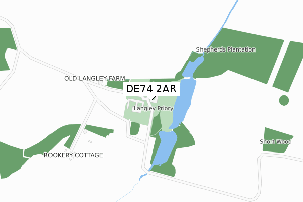
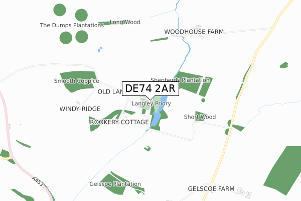
DE74 2AR is located in the Worthington & Breedon electoral ward, within the local authority district of North West Leicestershire and the English Parliamentary constituency of North West Leicestershire. The Sub Integrated Care Board (ICB) Location is NHS Leicester, Leicestershire and Rutland ICB - 04V and the police force is Leicestershire. This postcode has been in use since March 2018.


GetTheData
Source: OS Open Zoomstack (Ordnance Survey)
Licence: Open Government Licence (requires attribution)
Attribution: Contains OS data © Crown copyright and database right 2024
Source: Open Postcode Geo
Licence: Open Government Licence (requires attribution)
Attribution: Contains OS data © Crown copyright and database right 2024; Contains Royal Mail data © Royal Mail copyright and database right 2024; Source: Office for National Statistics licensed under the Open Government Licence v.3.0
| Easting | 443177 |
| Northing | 323599 |
| Latitude | 52.808238 |
| Longitude | -1.360911 |
GetTheData
Source: Open Postcode Geo
Licence: Open Government Licence
| Country | England |
| Postcode District | DE74 |
| ➜ DE74 open data dashboard ➜ See where DE74 is on a map | |
GetTheData
Source: Land Registry Price Paid Data
Licence: Open Government Licence
| Ward | Worthington & Breedon |
| Constituency | North West Leicestershire |
GetTheData
Source: ONS Postcode Database
Licence: Open Government Licence
| Old Station House (Tonge Lane) | Tonge | 1,439m |
| Old Station House (Tonge Lane) | Tonge | 1,457m |
GetTheData
Source: NaPTAN
Licence: Open Government Licence
GetTheData
Source: ONS Postcode Database
Licence: Open Government Licence


➜ Get more ratings from the Food Standards Agency
GetTheData
Source: Food Standards Agency
Licence: FSA terms & conditions
| Last Collection | |||
|---|---|---|---|
| Location | Mon-Fri | Sat | Distance |
| Tonge Village | 16:00 | 10:30 | 1,439m |
| Isley Walton | 16:00 | 10:30 | 1,687m |
| Berry Avenue | 16:30 | 10:30 | 1,966m |
GetTheData
Source: Dracos
Licence: Creative Commons Attribution-ShareAlike
| Facility | Distance |
|---|---|
| St Hardulphs C Of E Primary School Main Street, Breedon-on-the-hill, Derby Grass Pitches | 2.5km |
| Breedon Priory Health Club Green Lane, Wilson, Melbourne, Derby Health and Fitness Gym, Swimming Pool, Studio | 3.1km |
| Breedon Priory Golf Centre (Closed) Green Lane, Wilson, Melbourne, Derby Golf | 3.1km |
GetTheData
Source: Active Places
Licence: Open Government Licence
| School | Phase of Education | Distance |
|---|---|---|
| Diseworth Church of England Primary School Grimesgate, Diseworth, Derby, DE74 2QD | Primary | 2.4km |
| St Hardulph's Church of England Primary School Main Street, Breedon-on-the-Hill, Derby, DE73 8AN | Primary | 2.7km |
| Foxbridge Primary School Welsted Road, Castle Donington, DE74 2SN | Primary | 3.4km |
GetTheData
Source: Edubase
Licence: Open Government Licence
The below table lists the International Territorial Level (ITL) codes (formerly Nomenclature of Territorial Units for Statistics (NUTS) codes) and Local Administrative Units (LAU) codes for DE74 2AR:
| ITL 1 Code | Name |
|---|---|
| TLF | East Midlands (England) |
| ITL 2 Code | Name |
| TLF2 | Leicestershire, Rutland and Northamptonshire |
| ITL 3 Code | Name |
| TLF22 | Leicestershire CC and Rutland |
| LAU 1 Code | Name |
| E07000134 | North West Leicestershire |
GetTheData
Source: ONS Postcode Directory
Licence: Open Government Licence
The below table lists the Census Output Area (OA), Lower Layer Super Output Area (LSOA), and Middle Layer Super Output Area (MSOA) for DE74 2AR:
| Code | Name | |
|---|---|---|
| OA | E00131556 | |
| LSOA | E01025924 | North West Leicestershire 001A |
| MSOA | E02005397 | North West Leicestershire 001 |
GetTheData
Source: ONS Postcode Directory
Licence: Open Government Licence
| DE74 2QQ | 161m | |
| DE73 8BB | Moor Lane | 1164m |
| DE73 8BD | 1357m | |
| DE73 8HG | Dovecote | 1383m |
| DE73 8BA | Breedon Lane | 1488m |
| DE74 2RL | 1666m | |
| DE74 2TT | Tenterfield | 1790m |
| DE74 2QL | The Bowley | 1900m |
| DE74 2QN | The Green | 1938m |
| DE74 2PW | Linthwaite Court | 1953m |
GetTheData
Source: Open Postcode Geo; Land Registry Price Paid Data
Licence: Open Government Licence