DA1 5XP maps, stats, and open data
- Home
- Postcode
- DA
- DA1
- DA1 5
DA1 5XP is located in the Town electoral ward, within the local authority district of Dartford and the English Parliamentary constituency of Dartford. The Sub Integrated Care Board (ICB) Location is NHS Kent and Medway ICB - 91Q and the police force is Kent. This postcode has been in use since April 2019.
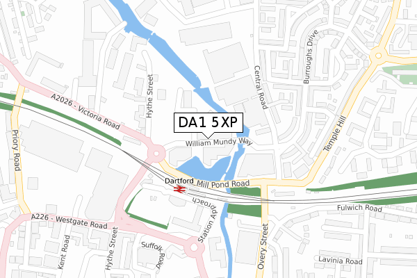
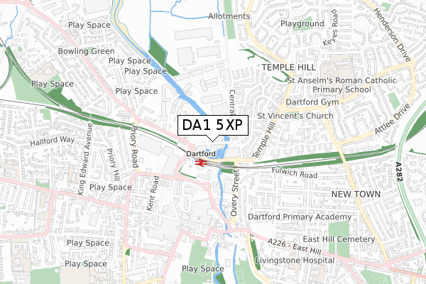
DA1 5XP maps


Source: OS Open Zoomstack (Ordnance Survey)
Licence: Open Government Licence (requires attribution)
Attribution: Contains OS data © Crown copyright and database right 2025
Source: Open Postcode GeoLicence: Open Government Licence (requires attribution)
Attribution: Contains OS data © Crown copyright and database right 2025; Contains Royal Mail data © Royal Mail copyright and database right 2025; Source: Office for National Statistics licensed under the Open Government Licence v.3.0
DA1 5XP geodata
| Easting | 554366 |
| Northing | 174505 |
| Latitude | 51.448497 |
| Longitude | 0.220079 |
Where is DA1 5XP?
| Country | England |
| Postcode District | DA1 |
Politics
| Ward | Town |
|---|
| Constituency | Dartford |
|---|
Transport
Nearest bus stops to DA1 5XP
| Mill Pond Road | Dartford | 103m |
| Mill Pond Road | Dartford | 115m |
| Railway Station (Station Approach) | Dartford | 148m |
| Prospect Place (Hythe Street) | Dartford | 232m |
| Home Gardens | Dartford | 242m |
Nearest railway stations to DA1 5XP
| Dartford Station | 0.1km |
| Crayford Station | 2.9km |
| Slade Green Station | 3km |
Broadband
Broadband access in DA1 5XP (2020 data)
| Percentage of properties with Next Generation Access | 100.0% |
| Percentage of properties with Superfast Broadband | 100.0% |
| Percentage of properties with Ultrafast Broadband | 94.1% |
| Percentage of properties with Full Fibre Broadband | 94.1% |
Superfast Broadband is between 30Mbps and 300Mbps
Ultrafast Broadband is > 300Mbps
Broadband limitations in DA1 5XP (2020 data)
| Percentage of properties unable to receive 2Mbps | 0.0% |
| Percentage of properties unable to receive 5Mbps | 0.0% |
| Percentage of properties unable to receive 10Mbps | 0.0% |
| Percentage of properties unable to receive 30Mbps | 0.0% |
Deprivation
56.3% of English postcodes are less deprived than
DA1 5XP:
Food Standards Agency
Three nearest food hygiene ratings to DA1 5XP (metres)
Co-operative Store
Go Local
The Book Stall
Dartford Railway Station
175m
➜ Get more ratings from the Food Standards Agency
Nearest post box to DA1 5XP
| | Last Collection | |
|---|
| Location | Mon-Fri | Sat | Distance |
|---|
| Dartford Station | 18:30 | 12:00 | 173m |
| High Street | 18:30 | 12:15 | 491m |
| Temple Hill Post Office | 17:30 | 12:00 | 578m |
Environment
| Risk of DA1 5XP flooding from rivers and sea | Very Low |
DA1 5XP ITL and DA1 5XP LAU
The below table lists the International Territorial Level (ITL) codes (formerly Nomenclature of Territorial Units for Statistics (NUTS) codes) and Local Administrative Units (LAU) codes for DA1 5XP:
| ITL 1 Code | Name |
|---|
| TLJ | South East (England) |
| ITL 2 Code | Name |
|---|
| TLJ4 | Kent |
| ITL 3 Code | Name |
|---|
| TLJ43 | Kent Thames Gateway |
| LAU 1 Code | Name |
|---|
| E07000107 | Dartford |
DA1 5XP census areas
The below table lists the Census Output Area (OA), Lower Layer Super Output Area (LSOA), and Middle Layer Super Output Area (MSOA) for DA1 5XP:
| Code | Name |
|---|
| OA | E00122762 | |
|---|
| LSOA | E01024181 | Dartford 003B |
|---|
| MSOA | E02005030 | Dartford 003 |
|---|
Nearest postcodes to DA1 5XP


