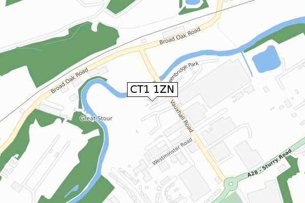
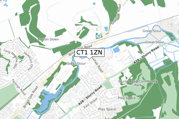
CT1 1ZN is located in the Northgate electoral ward, within the local authority district of Canterbury and the English Parliamentary constituency of Canterbury. The Sub Integrated Care Board (ICB) Location is NHS Kent and Medway ICB - 91Q and the police force is Kent. This postcode has been in use since November 2017.


GetTheData
Source: OS Open Zoomstack (Ordnance Survey)
Licence: Open Government Licence (requires attribution)
Attribution: Contains OS data © Crown copyright and database right 2025
Source: Open Postcode Geo
Licence: Open Government Licence (requires attribution)
Attribution: Contains OS data © Crown copyright and database right 2025; Contains Royal Mail data © Royal Mail copyright and database right 2025; Source: Office for National Statistics licensed under the Open Government Licence v.3.0
| Easting | 616339 |
| Northing | 159719 |
| Latitude | 51.295484 |
| Longitude | 1.101720 |
GetTheData
Source: Open Postcode Geo
Licence: Open Government Licence
| Country | England |
| Postcode District | CT1 |
➜ See where CT1 is on a map ➜ Where is Canterbury? | |
GetTheData
Source: Land Registry Price Paid Data
Licence: Open Government Licence
| Ward | Northgate |
| Constituency | Canterbury |
GetTheData
Source: ONS Postcode Database
Licence: Open Government Licence
| Vauxhall Road (Sturry Road) | Vauxhall | 396m |
| Reed Avenue (Sturry Road) | Vauxhall | 417m |
| Reed Avenue (Sturry Road) | Vauxhall | 473m |
| Sturry Road Park And Ride Terminal (Sturry Road) | Vauxhall | 492m |
| Sturry Road Park And Ride Terminal (Sturry Road) | Vauxhall | 521m |
| Sturry Station | 1.6km |
| Canterbury West Station | 2.2km |
| Canterbury East Station | 3km |
GetTheData
Source: NaPTAN
Licence: Open Government Licence
GetTheData
Source: ONS Postcode Database
Licence: Open Government Licence

➜ Get more ratings from the Food Standards Agency
GetTheData
Source: Food Standards Agency
Licence: FSA terms & conditions
| Last Collection | |||
|---|---|---|---|
| Location | Mon-Fri | Sat | Distance |
| Vauxhall Road | 17:30 | 11:45 | 290m |
| Sturry Road Post Office | 17:30 | 11:45 | 449m |
| Headcorn Drive | 17:30 | 12:00 | 906m |
GetTheData
Source: Dracos
Licence: Creative Commons Attribution-ShareAlike
| Risk of CT1 1ZN flooding from rivers and sea | High |
| ➜ CT1 1ZN flood map | |
GetTheData
Source: Open Flood Risk by Postcode
Licence: Open Government Licence
The below table lists the International Territorial Level (ITL) codes (formerly Nomenclature of Territorial Units for Statistics (NUTS) codes) and Local Administrative Units (LAU) codes for CT1 1ZN:
| ITL 1 Code | Name |
|---|---|
| TLJ | South East (England) |
| ITL 2 Code | Name |
| TLJ4 | Kent |
| ITL 3 Code | Name |
| TLJ44 | East Kent |
| LAU 1 Code | Name |
| E07000106 | Canterbury |
GetTheData
Source: ONS Postcode Directory
Licence: Open Government Licence
The below table lists the Census Output Area (OA), Lower Layer Super Output Area (LSOA), and Middle Layer Super Output Area (MSOA) for CT1 1ZN:
| Code | Name | |
|---|---|---|
| OA | E00122319 | |
| LSOA | E01024091 | Canterbury 011A |
| MSOA | E02005020 | Canterbury 011 |
GetTheData
Source: ONS Postcode Directory
Licence: Open Government Licence
| CT1 1EX | Vauxhall Avenue | 307m |
| CT1 1EY | Vauxhall Crescent | 322m |
| CT1 1HG | Sturry Road | 379m |
| CT2 0PR | Shalloak Road | 409m |
| CT1 1EU | Vauxhall Avenue | 414m |
| CT1 1HQ | Sturry Road | 442m |
| CT1 1DS | Sturry Road | 484m |
| CT1 1AD | Stour Retail Park | 490m |
| CT1 1TP | Field Avenue | 518m |
| CT1 1ET | Reed Avenue | 523m |
GetTheData
Source: Open Postcode Geo; Land Registry Price Paid Data
Licence: Open Government Licence