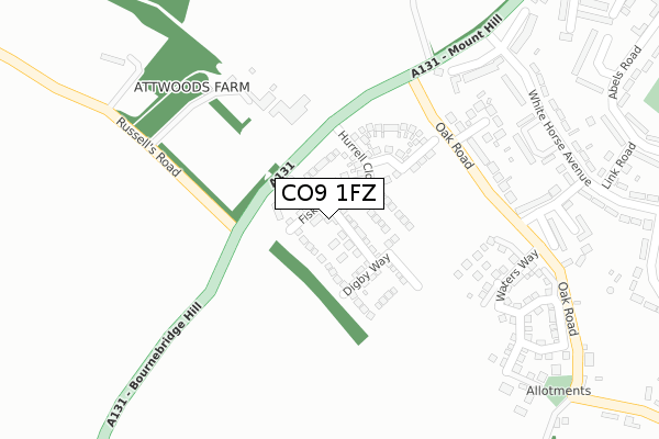
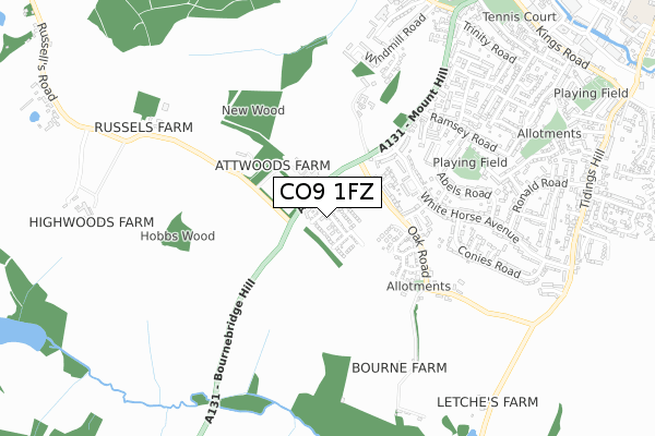
CO9 1FZ is located in the Halstead Trinity electoral ward, within the local authority district of Braintree and the English Parliamentary constituency of Braintree. The Sub Integrated Care Board (ICB) Location is NHS Mid and South Essex ICB - 06Q and the police force is Essex. This postcode has been in use since April 2019.


GetTheData
Source: OS Open Zoomstack (Ordnance Survey)
Licence: Open Government Licence (requires attribution)
Attribution: Contains OS data © Crown copyright and database right 2024
Source: Open Postcode Geo
Licence: Open Government Licence (requires attribution)
Attribution: Contains OS data © Crown copyright and database right 2024; Contains Royal Mail data © Royal Mail copyright and database right 2024; Source: Office for National Statistics licensed under the Open Government Licence v.3.0
| Easting | 580362 |
| Northing | 229638 |
| Latitude | 51.936027 |
| Longitude | 0.622273 |
GetTheData
Source: Open Postcode Geo
Licence: Open Government Licence
| Country | England |
| Postcode District | CO9 |
| ➜ CO9 open data dashboard ➜ See where CO9 is on a map ➜ Where is Halstead? | |
GetTheData
Source: Land Registry Price Paid Data
Licence: Open Government Licence
| Ward | Halstead Trinity |
| Constituency | Braintree |
GetTheData
Source: ONS Postcode Database
Licence: Open Government Licence
25, FISKE AVENUE, HALSTEAD, CO9 1FZ 2019 17 DEC £424,995 |
27, FISKE AVENUE, HALSTEAD, CO9 1FZ 2019 15 NOV £345,000 |
19, FISKE AVENUE, HALSTEAD, CO9 1FZ 2019 31 OCT £429,995 |
22, FISKE AVENUE, HALSTEAD, CO9 1FZ 2019 30 AUG £486,995 |
20, FISKE AVENUE, HALSTEAD, CO9 1FZ 2019 16 AUG £424,995 |
14, FISKE AVENUE, HALSTEAD, CO9 1FZ 2019 31 MAY £309,995 |
GetTheData
Source: HM Land Registry Price Paid Data
Licence: Contains HM Land Registry data © Crown copyright and database right 2024. This data is licensed under the Open Government Licence v3.0.
| November 2023 | Violence and sexual offences | On or near Blamsters Crescent | 361m |
| June 2023 | Criminal damage and arson | On or near Blamsters Crescent | 361m |
| April 2023 | Vehicle crime | On or near Blamsters Crescent | 361m |
| ➜ Get more crime data in our Crime section | |||
GetTheData
Source: data.police.uk
Licence: Open Government Licence
| Russells Road (A131 Mount Hill) | Plaistow Green | 120m |
| Russells Road (A131 Mount Hill) | Plaistow Green | 131m |
| Attwoods (Mount Hill) | Plaistow Green | 132m |
| Attwoods (Mount Hill) | Plaistow Green | 133m |
| Blamsters Crescent (Mount Hill) | Halstead | 359m |
GetTheData
Source: NaPTAN
Licence: Open Government Licence
| Percentage of properties with Next Generation Access | 100.0% |
| Percentage of properties with Superfast Broadband | 100.0% |
| Percentage of properties with Ultrafast Broadband | 94.4% |
| Percentage of properties with Full Fibre Broadband | 94.4% |
Superfast Broadband is between 30Mbps and 300Mbps
Ultrafast Broadband is > 300Mbps
| Percentage of properties unable to receive 2Mbps | 0.0% |
| Percentage of properties unable to receive 5Mbps | 0.0% |
| Percentage of properties unable to receive 10Mbps | 0.0% |
| Percentage of properties unable to receive 30Mbps | 0.0% |
GetTheData
Source: Ofcom
Licence: Ofcom Terms of Use (requires attribution)
GetTheData
Source: ONS Postcode Database
Licence: Open Government Licence


➜ Get more ratings from the Food Standards Agency
GetTheData
Source: Food Standards Agency
Licence: FSA terms & conditions
| Last Collection | |||
|---|---|---|---|
| Location | Mon-Fri | Sat | Distance |
| White Horse Avenue | 17:00 | 12:00 | 366m |
| Parkfields Post Office | 17:00 | 11:45 | 658m |
| Windmill Road | 17:15 | 12:00 | 886m |
GetTheData
Source: Dracos
Licence: Creative Commons Attribution-ShareAlike
| Facility | Distance |
|---|---|
| Holy Trinity Primary School Trinity Street, Halstead Sports Hall, Grass Pitches | 1km |
| The Milbank Stadium Rosemary Lane, Halstead Grass Pitches | 1.4km |
| Halstead Fitness Studio Ltd (Closed) High Street, Halstead Health and Fitness Gym | 1.4km |
GetTheData
Source: Active Places
Licence: Open Government Licence
| School | Phase of Education | Distance |
|---|---|---|
| Holy Trinity Church of England Voluntary Controlled Primary School, Halstead Beridge Road, Halstead, CO9 1JH | Primary | 997m |
| Richard de Clare Community Academy Parsonage Street, Halstead, CO9 2JT | Primary | 1.4km |
| Gosfield School Cut Hedge Park, Halstead Road, Halstead, CO9 1PF | Not applicable | 1.7km |
GetTheData
Source: Edubase
Licence: Open Government Licence
The below table lists the International Territorial Level (ITL) codes (formerly Nomenclature of Territorial Units for Statistics (NUTS) codes) and Local Administrative Units (LAU) codes for CO9 1FZ:
| ITL 1 Code | Name |
|---|---|
| TLH | East |
| ITL 2 Code | Name |
| TLH3 | Essex |
| ITL 3 Code | Name |
| TLH34 | Essex Haven Gateway |
| LAU 1 Code | Name |
| E07000067 | Braintree |
GetTheData
Source: ONS Postcode Directory
Licence: Open Government Licence
The below table lists the Census Output Area (OA), Lower Layer Super Output Area (LSOA), and Middle Layer Super Output Area (MSOA) for CO9 1FZ:
| Code | Name | |
|---|---|---|
| OA | E00108615 | |
| LSOA | E01021382 | Braintree 003A |
| MSOA | E02004448 | Braintree 003 |
GetTheData
Source: ONS Postcode Directory
Licence: Open Government Licence
| CO9 1LS | Oak Road | 253m |
| CO9 1LP | Oak Cottages | 278m |
| CO9 1LT | Conway Close | 295m |
| CO9 1AQ | Blamsters Crescent | 318m |
| CO9 1LU | Three Gates Close | 336m |
| CO9 1AH | White Horse Avenue | 339m |
| CO9 1QH | Bourne Close | 390m |
| CO9 1AG | Blamsters Crescent | 405m |
| CO9 1AJ | White Horse Avenue | 446m |
| CO9 1EP | The Tythings | 456m |
GetTheData
Source: Open Postcode Geo; Land Registry Price Paid Data
Licence: Open Government Licence