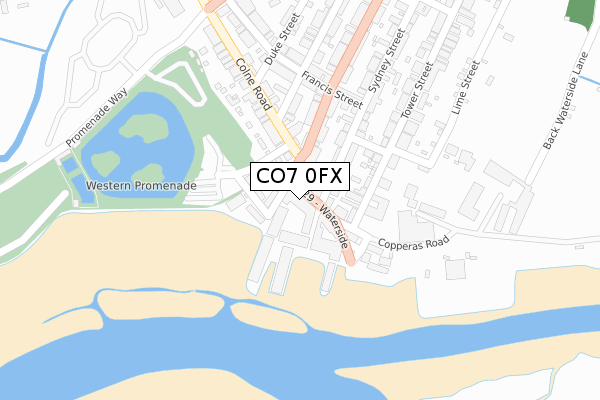
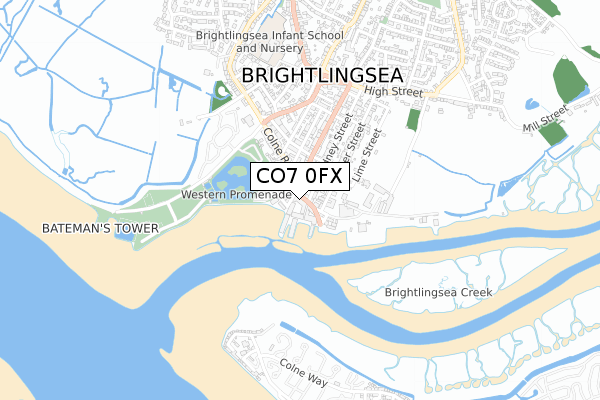
CO7 0FX is located in the Brightlingsea electoral ward, within the local authority district of Tendring and the English Parliamentary constituency of Harwich and North Essex. The Sub Integrated Care Board (ICB) Location is NHS Suffolk and North East Essex ICB - 06T and the police force is Essex. This postcode has been in use since January 2019.


GetTheData
Source: OS Open Zoomstack (Ordnance Survey)
Licence: Open Government Licence (requires attribution)
Attribution: Contains OS data © Crown copyright and database right 2025
Source: Open Postcode Geo
Licence: Open Government Licence (requires attribution)
Attribution: Contains OS data © Crown copyright and database right 2025; Contains Royal Mail data © Royal Mail copyright and database right 2025; Source: Office for National Statistics licensed under the Open Government Licence v.3.0
| Easting | 608496 |
| Northing | 216305 |
| Latitude | 51.806500 |
| Longitude | 1.022908 |
GetTheData
Source: Open Postcode Geo
Licence: Open Government Licence
| Country | England |
| Postcode District | CO7 |
➜ See where CO7 is on a map ➜ Where is Brightlingsea? | |
GetTheData
Source: Land Registry Price Paid Data
Licence: Open Government Licence
| Ward | Brightlingsea |
| Constituency | Harwich And North Essex |
GetTheData
Source: ONS Postcode Database
Licence: Open Government Licence
| Ferry Terminal (Waterside) | Brightlingsea | 113m |
| Station Road | Brightlingsea | 354m |
| Station Road | Brightlingsea | 360m |
| Victoria Place | Brightlingsea | 521m |
| Victoria Place | Brightlingsea | 535m |
GetTheData
Source: NaPTAN
Licence: Open Government Licence
| Percentage of properties with Next Generation Access | 100.0% |
| Percentage of properties with Superfast Broadband | 100.0% |
| Percentage of properties with Ultrafast Broadband | 100.0% |
| Percentage of properties with Full Fibre Broadband | 100.0% |
Superfast Broadband is between 30Mbps and 300Mbps
Ultrafast Broadband is > 300Mbps
| Percentage of properties unable to receive 2Mbps | 0.0% |
| Percentage of properties unable to receive 5Mbps | 0.0% |
| Percentage of properties unable to receive 10Mbps | 0.0% |
| Percentage of properties unable to receive 30Mbps | 0.0% |
GetTheData
Source: Ofcom
Licence: Ofcom Terms of Use (requires attribution)
GetTheData
Source: ONS Postcode Database
Licence: Open Government Licence


➜ Get more ratings from the Food Standards Agency
GetTheData
Source: Food Standards Agency
Licence: FSA terms & conditions
| Last Collection | |||
|---|---|---|---|
| Location | Mon-Fri | Sat | Distance |
| Waterside Brightlingsea | 17:15 | 11:05 | 33m |
| New Street Brightlingsea | 17:15 | 11:10 | 208m |
| Silcott Street | 17:15 | 11:20 | 360m |
GetTheData
Source: Dracos
Licence: Creative Commons Attribution-ShareAlike
| Risk of CO7 0FX flooding from rivers and sea | High |
| ➜ CO7 0FX flood map | |
GetTheData
Source: Open Flood Risk by Postcode
Licence: Open Government Licence
The below table lists the International Territorial Level (ITL) codes (formerly Nomenclature of Territorial Units for Statistics (NUTS) codes) and Local Administrative Units (LAU) codes for CO7 0FX:
| ITL 1 Code | Name |
|---|---|
| TLH | East |
| ITL 2 Code | Name |
| TLH3 | Essex |
| ITL 3 Code | Name |
| TLH34 | Essex Haven Gateway |
| LAU 1 Code | Name |
| E07000076 | Tendring |
GetTheData
Source: ONS Postcode Directory
Licence: Open Government Licence
The below table lists the Census Output Area (OA), Lower Layer Super Output Area (LSOA), and Middle Layer Super Output Area (MSOA) for CO7 0FX:
| Code | Name | |
|---|---|---|
| OA | E00111656 | |
| LSOA | E01021982 | Tendring 011D |
| MSOA | E02004583 | Tendring 011 |
GetTheData
Source: ONS Postcode Directory
Licence: Open Government Licence
| CO7 0AY | Waterside | 30m |
| CO7 0DH | New Street | 38m |
| CO7 0AZ | Waterside | 61m |
| CO7 0FH | Waterside | 62m |
| CO7 0GE | Harbour Square | 67m |
| CO7 0BL | Fieldgate Dock | 68m |
| CO7 0DW | Oyster Tank Road | 80m |
| CO7 0BA | Fieldgate Dock | 81m |
| CO7 0BD | Sydney Street | 114m |
| CO7 0AW | Tower Street | 115m |
GetTheData
Source: Open Postcode Geo; Land Registry Price Paid Data
Licence: Open Government Licence