CM2 6ZP maps, stats, and open data
- Home
- Postcode
- CM
- CM2
- CM2 6
CM2 6ZP is located in the Moulsham and Central electoral ward, within the local authority district of Chelmsford and the English Parliamentary constituency of Chelmsford. The Sub Integrated Care Board (ICB) Location is NHS Mid and South Essex ICB - 06Q and the police force is Essex. This postcode has been in use since February 2018.
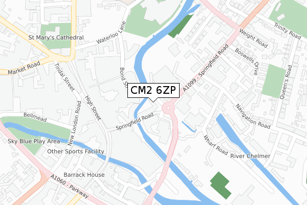
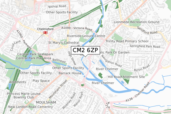
CM2 6ZP maps


Source: OS Open Zoomstack (Ordnance Survey)
Licence: Open Government Licence (requires attribution)
Attribution: Contains OS data © Crown copyright and database right 2025
Source: Open Postcode GeoLicence: Open Government Licence (requires attribution)
Attribution: Contains OS data © Crown copyright and database right 2025; Contains Royal Mail data © Royal Mail copyright and database right 2025; Source: Office for National Statistics licensed under the Open Government Licence v.3.0
CM2 6ZP geodata
| Easting | 571144 |
| Northing | 206727 |
| Latitude | 51.733134 |
| Longitude | 0.476995 |
Where is CM2 6ZP?
| Country | England |
| Postcode District | CM2 |
Politics
| Ward | Moulsham And Central |
|---|
| Constituency | Chelmsford |
|---|
Transport
Nearest bus stops to CM2 6ZP
| Town Centre Tesco Store (Springfield Road) | Chelmsford | 90m |
| Town Centre Tesco Store (Springfield Road) | Chelmsford | 108m |
| Wharf Road (Navigation Road) | Chelmsford | 206m |
| Reed Agency (New London Road) | Chelmsford City Centre | 247m |
| H & M (New London Road) | Chelmsford City Centre | 251m |
Nearest railway stations to CM2 6ZP
Broadband
Broadband access in CM2 6ZP (2020 data)
| Percentage of properties with Next Generation Access | 100.0% |
| Percentage of properties with Superfast Broadband | 100.0% |
| Percentage of properties with Ultrafast Broadband | 100.0% |
| Percentage of properties with Full Fibre Broadband | 100.0% |
Superfast Broadband is between 30Mbps and 300Mbps
Ultrafast Broadband is > 300Mbps
Broadband limitations in CM2 6ZP (2020 data)
| Percentage of properties unable to receive 2Mbps | 0.0% |
| Percentage of properties unable to receive 5Mbps | 0.0% |
| Percentage of properties unable to receive 10Mbps | 0.0% |
| Percentage of properties unable to receive 30Mbps | 0.0% |
Deprivation
57.1% of English postcodes are less deprived than
CM2 6ZP:
Food Standards Agency
Three nearest food hygiene ratings to CM2 6ZP (metres)
Transilvania Groceries Ltd
Popworld
Walkabout Chelmsford/KT/CB/L\&L/LL/ER/BB
➜ Get more ratings from the Food Standards Agency
Nearest post box to CM2 6ZP
| | Last Collection | |
|---|
| Location | Mon-Fri | Sat | Distance |
|---|
| Tesco | 18:00 | 12:30 | 39m |
| Meadows Shopping Centre | 16:45 | 12:30 | 177m |
| High Street | 17:45 | 12:45 | 200m |
Environment
| Risk of CM2 6ZP flooding from rivers and sea | Medium |
CM2 6ZP ITL and CM2 6ZP LAU
The below table lists the International Territorial Level (ITL) codes (formerly Nomenclature of Territorial Units for Statistics (NUTS) codes) and Local Administrative Units (LAU) codes for CM2 6ZP:
| ITL 1 Code | Name |
|---|
| TLH | East |
| ITL 2 Code | Name |
|---|
| TLH3 | Essex |
| ITL 3 Code | Name |
|---|
| TLH36 | Heart of Essex |
| LAU 1 Code | Name |
|---|
| E07000070 | Chelmsford |
CM2 6ZP census areas
The below table lists the Census Output Area (OA), Lower Layer Super Output Area (LSOA), and Middle Layer Super Output Area (MSOA) for CM2 6ZP:
| Code | Name |
|---|
| OA | E00170981 | |
|---|
| LSOA | E01033140 | Chelmsford 010F |
|---|
| MSOA | E02004494 | Chelmsford 010 |
|---|
Nearest postcodes to CM2 6ZP


