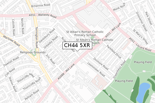
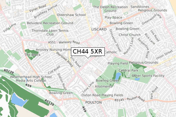
CH44 5XR is located in the Liscard electoral ward, within the metropolitan district of Wirral and the English Parliamentary constituency of Wallasey. The Sub Integrated Care Board (ICB) Location is NHS Cheshire and Merseyside ICB - 12F and the police force is Merseyside. This postcode has been in use since August 2019.


GetTheData
Source: OS Open Zoomstack (Ordnance Survey)
Licence: Open Government Licence (requires attribution)
Attribution: Contains OS data © Crown copyright and database right 2024
Source: Open Postcode Geo
Licence: Open Government Licence (requires attribution)
Attribution: Contains OS data © Crown copyright and database right 2024; Contains Royal Mail data © Royal Mail copyright and database right 2024; Source: Office for National Statistics licensed under the Open Government Licence v.3.0
| Easting | 330533 |
| Northing | 391746 |
| Latitude | 53.417939 |
| Longitude | -3.046687 |
GetTheData
Source: Open Postcode Geo
Licence: Open Government Licence
| Country | England |
| Postcode District | CH44 |
| ➜ CH44 open data dashboard ➜ See where CH44 is on a map ➜ Where is Wallasey? | |
GetTheData
Source: Land Registry Price Paid Data
Licence: Open Government Licence
| Ward | Liscard |
| Constituency | Wallasey |
GetTheData
Source: ONS Postcode Database
Licence: Open Government Licence
| January 2024 | Anti-social behaviour | On or near Hartington Road | 189m |
| January 2024 | Anti-social behaviour | On or near Hartington Road | 189m |
| January 2024 | Public order | On or near Hartington Road | 189m |
| ➜ Get more crime data in our Crime section | |||
GetTheData
Source: data.police.uk
Licence: Open Government Licence
| Rullerton Road (Mill Lane) | Liscard | 93m |
| St Albans Road | Liscard | 122m |
| Eric Road (Mill Lane) | Liscard | 124m |
| St Albans Road | Liscard | 129m |
| St Albans Road | Liscard | 136m |
| Wallasey Village Station | 1.6km |
| Birkenhead North Station | 1.7km |
| Wallasey Grove Road Station | 1.9km |
GetTheData
Source: NaPTAN
Licence: Open Government Licence
GetTheData
Source: ONS Postcode Database
Licence: Open Government Licence


➜ Get more ratings from the Food Standards Agency
GetTheData
Source: Food Standards Agency
Licence: FSA terms & conditions
| Last Collection | |||
|---|---|---|---|
| Location | Mon-Fri | Sat | Distance |
| Wallasey Road | 17:26 | 12:00 | 434m |
| Claremont Road | 17:43 | 12:00 | 1,128m |
| Caithness Drive | 17:35 | 12:00 | 1,220m |
GetTheData
Source: Dracos
Licence: Creative Commons Attribution-ShareAlike
| Facility | Distance |
|---|---|
| World Class Gym Coronation Buildings, Wallasey Road, Wallasey Health and Fitness Gym | 247m |
| Hearts Health Club (Wallasey) (Closed) Wallasey Road, Wallasey Health and Fitness Gym, Studio | 402m |
| Central Park (Wallasey) Liscard Road, Wallasey Grass Pitches | 486m |
GetTheData
Source: Active Places
Licence: Open Government Licence
| School | Phase of Education | Distance |
|---|---|---|
| St Alban's Catholic Primary School Ashburton Road, Wallasey, CH44 5XB | Primary | 93m |
| Park Primary School Love Lane, Wallasey, CH44 5RN | Primary | 318m |
| The Oldershaw School Valkyrie Road, Wallasey, CH45 4RJ | Secondary | 571m |
GetTheData
Source: Edubase
Licence: Open Government Licence
The below table lists the International Territorial Level (ITL) codes (formerly Nomenclature of Territorial Units for Statistics (NUTS) codes) and Local Administrative Units (LAU) codes for CH44 5XR:
| ITL 1 Code | Name |
|---|---|
| TLD | North West (England) |
| ITL 2 Code | Name |
| TLD7 | Merseyside |
| ITL 3 Code | Name |
| TLD74 | Wirral |
| LAU 1 Code | Name |
| E08000015 | Wirral |
GetTheData
Source: ONS Postcode Directory
Licence: Open Government Licence
The below table lists the Census Output Area (OA), Lower Layer Super Output Area (LSOA), and Middle Layer Super Output Area (MSOA) for CH44 5XR:
| Code | Name | |
|---|---|---|
| OA | E00036570 | |
| LSOA | E01007212 | Wirral 007A |
| MSOA | E02001473 | Wirral 007 |
GetTheData
Source: ONS Postcode Directory
Licence: Open Government Licence
| CH44 5UY | Eldon Road | 29m |
| CH44 5RD | Acland Road | 39m |
| CH44 5XD | Overton Road | 44m |
| CH44 5XB | Ashburton Road | 55m |
| CH44 5XG | Rullerton Road | 59m |
| CH44 5XQ | Rullerton Road | 63m |
| CH44 5UZ | Stretton Avenue | 83m |
| CH44 5UG | Mill Lane | 87m |
| CH44 5RB | Liscard Grove | 88m |
| CH44 5XA | Hylton Avenue | 92m |
GetTheData
Source: Open Postcode Geo; Land Registry Price Paid Data
Licence: Open Government Licence