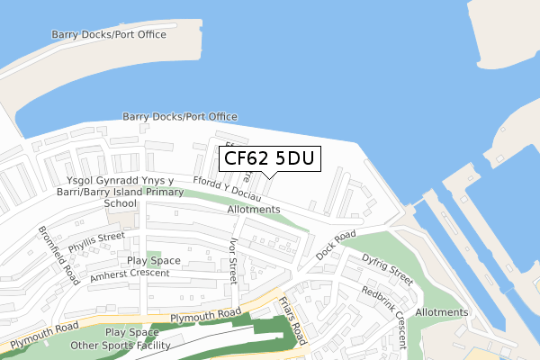
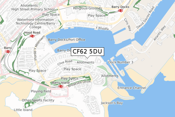
CF62 5DU is located in the Baruc electoral ward, within the unitary authority of Vale of Glamorgan and the Welsh Parliamentary constituency of Vale of Glamorgan. The Local Health Board is Cardiff and Vale University and the police force is South Wales. This postcode has been in use since April 2020.


GetTheData
Source: OS Open Zoomstack (Ordnance Survey)
Licence: Open Government Licence (requires attribution)
Attribution: Contains OS data © Crown copyright and database right 2024
Source: Open Postcode Geo
Licence: Open Government Licence (requires attribution)
Attribution: Contains OS data © Crown copyright and database right 2024; Contains Royal Mail data © Royal Mail copyright and database right 2024; Source: Office for National Statistics licensed under the Open Government Licence v.3.0
| Easting | 311917 |
| Northing | 167172 |
| Latitude | 51.396719 |
| Longitude | -3.267499 |
GetTheData
Source: Open Postcode Geo
Licence: Open Government Licence
| Country | Wales |
| Postcode District | CF62 |
| ➜ CF62 open data dashboard ➜ See where CF62 is on a map ➜ Where is Barry? | |
GetTheData
Source: Land Registry Price Paid Data
Licence: Open Government Licence
| Ward | Baruc |
| Constituency | Vale Of Glamorgan |
GetTheData
Source: ONS Postcode Database
Licence: Open Government Licence
| June 2022 | Public order | On or near Clive Place | 214m |
| June 2022 | Violence and sexual offences | On or near Phyllis Street | 353m |
| June 2022 | Anti-social behaviour | On or near Clive Road | 371m |
| ➜ Get more crime data in our Crime section | |||
GetTheData
Source: data.police.uk
Licence: Open Government Licence
| Clive Road | Barry Island | 167m |
| Clive Place | Barry Island | 204m |
| Community Centre (Friars Road) | Barry Island | 351m |
| School (Archer Road) | Barry Island | 359m |
| Adar Y Mor (Breaksea Drive) | Barry Island | 433m |
| Barry Island Station | 0.6km |
| Barry Docks Station | 0.8km |
| Barry Station | 1.2km |
GetTheData
Source: NaPTAN
Licence: Open Government Licence
GetTheData
Source: ONS Postcode Database
Licence: Open Government Licence


➜ Get more ratings from the Food Standards Agency
GetTheData
Source: Food Standards Agency
Licence: FSA terms & conditions
| Last Collection | |||
|---|---|---|---|
| Location | Mon-Fri | Sat | Distance |
| Ffordd Y Mileniwm | 17:30 | 12:15 | 572m |
| Kings Square Post Office | 18:45 | 12:00 | 1,058m |
| Vale Street | 18:30 | 12:00 | 1,316m |
GetTheData
Source: Dracos
Licence: Creative Commons Attribution-ShareAlike
| School | Phase of Education | Distance |
|---|---|---|
| Barry Island Primary Clive Road, Barry Island, Barry, Vale of Glamorgan, CF62 5UZ | Not applicable | 357m |
| Ysgol Sant Baruc Ffordd Y Mileniwm, Barry, CF62 5AT | Not applicable | 796m |
| High Street Primary School St Paul's Avenue, Barry, Vale of Glamorgan, CF62 8HT | Not applicable | 1.1km |
GetTheData
Source: Edubase
Licence: Open Government Licence
The below table lists the International Territorial Level (ITL) codes (formerly Nomenclature of Territorial Units for Statistics (NUTS) codes) and Local Administrative Units (LAU) codes for CF62 5DU:
| ITL 1 Code | Name |
|---|---|
| TLL | Wales |
| ITL 2 Code | Name |
| TLL2 | East Wales |
| ITL 3 Code | Name |
| TLL22 | Cardiff and Vale of Glamorgan |
| LAU 1 Code | Name |
| W06000014 | Vale of Glamorgan |
GetTheData
Source: ONS Postcode Directory
Licence: Open Government Licence
The below table lists the Census Output Area (OA), Lower Layer Super Output Area (LSOA), and Middle Layer Super Output Area (MSOA) for CF62 5DU:
| Code | Name | |
|---|---|---|
| OA | W00005606 | |
| LSOA | W01001061 | The Vale of Glamorgan 015C |
| MSOA | W02000251 | The Vale of Glamorgan 015 |
GetTheData
Source: ONS Postcode Directory
Licence: Open Government Licence
| CF62 5XA | Clive Road | 172m |
| CF62 5XB | Clive Place | 191m |
| CF62 5UW | Phyllis Street | 216m |
| CF62 5TX | The Triangle | 235m |
| CF62 5UY | Clive Road | 238m |
| CF62 5UL | Ivor Street | 263m |
| CF62 5UT | Phyllis Street | 265m |
| CF62 5TW | Dyfrig Street | 276m |
| CF62 5UX | Phyllis Street | 280m |
| CF62 5TT | Redbrink Crescent | 303m |
GetTheData
Source: Open Postcode Geo; Land Registry Price Paid Data
Licence: Open Government Licence