Property/Postcode Data Search:
CA2 7FF maps, stats, and open data
CA2 7FF is located in the Belle Vue electoral ward, within the unitary authority of Cumberland and the English Parliamentary constituency of Carlisle. The Sub Integrated Care Board (ICB) Location is NHS North East and North Cumbria ICB - 01H and the police force is Cumbria. This postcode has been in use since February 2020.
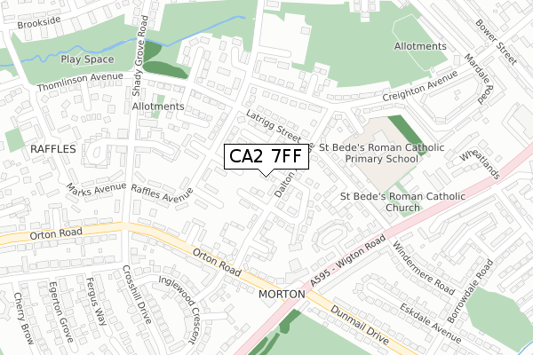
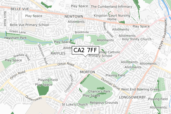
CA2 7FF maps


Source: OS Open Zoomstack (Ordnance Survey)
Licence: Open Government Licence (requires attribution)
Attribution: Contains OS data © Crown copyright and database right 2025
Source: Open Postcode Geo
Licence: Open Government Licence (requires attribution)
Attribution: Contains OS data © Crown copyright and database right 2025; Contains Royal Mail data © Royal Mail copyright and database right 2025; Source: Office for National Statistics licensed under the Open Government Licence v.3.0
Licence: Open Government Licence (requires attribution)
Attribution: Contains OS data © Crown copyright and database right 2025
Source: Open Postcode Geo
Licence: Open Government Licence (requires attribution)
Attribution: Contains OS data © Crown copyright and database right 2025; Contains Royal Mail data © Royal Mail copyright and database right 2025; Source: Office for National Statistics licensed under the Open Government Licence v.3.0
CA2 7FF geodata
| Easting | 338324 |
| Northing | 555422 |
| Latitude | 54.889723 |
| Longitude | -2.963044 |
Where is CA2 7FF?
| Country | England |
| Postcode District | CA2 |
Politics
| Ward | Belle Vue |
|---|---|
| Constituency | Carlisle |
Transport
Nearest bus stops to CA2 7FF
| Old Horse And Farrier (Orton Road) | Raffles | 190m |
| Horse & Farrier (Orton Road) | Raffles | 190m |
| Balfour Road (Wigton Road) | Wigton Road | 232m |
| Shops (Shadygrove Road) | Raffles | 250m |
| Horse And Farrier (Wigton Road) | Wigton Road | 263m |
Nearest railway stations to CA2 7FF
| Carlisle Station | 1.9km |
| Dalston (Cumbria) Station | 5.1km |
Deprivation
95.9% of English postcodes are less deprived than CA2 7FF:Food Standards Agency
Three nearest food hygiene ratings to CA2 7FF (metres)
Lucky 8 Chinese Takeaway

Dragon Inn Takeaway
126m
Renucci's

Renuccis
178m
Jo's Baguettes

Jo's Baguettes
178m
➜ Get more ratings from the Food Standards Agency
Nearest post box to CA2 7FF
| Last Collection | |||
|---|---|---|---|
| Location | Mon-Fri | Sat | Distance |
| Orton Road | 16:15 | 13:30 | 202m |
| Raffles | 17:15 | 13:15 | 266m |
| Whinnie House Road | 16:15 | 13:30 | 491m |
CA2 7FF ITL and CA2 7FF LAU
The below table lists the International Territorial Level (ITL) codes (formerly Nomenclature of Territorial Units for Statistics (NUTS) codes) and Local Administrative Units (LAU) codes for CA2 7FF:
| ITL 1 Code | Name |
|---|---|
| TLD | North West (England) |
| ITL 2 Code | Name |
| TLD1 | Cumbria |
| ITL 3 Code | Name |
| TLD12 | East Cumbria |
| LAU 1 Code | Name |
| E07000028 | Carlisle |
CA2 7FF census areas
The below table lists the Census Output Area (OA), Lower Layer Super Output Area (LSOA), and Middle Layer Super Output Area (MSOA) for CA2 7FF:
| Code | Name | |
|---|---|---|
| OA | E00097010 | |
| LSOA | E01019193 | Carlisle 009A |
| MSOA | E02003995 | Carlisle 009 |
Nearest postcodes to CA2 7FF
| CA2 7DY | Dalton Avenue | 60m |
| CA2 7DX | Dalton Avenue | 86m |
| CA2 7EB | Raffles Avenue | 107m |
| CA2 7DU | Balfour Road | 128m |
| CA2 7DT | Dalton Avenue | 142m |
| CA2 7DZ | Creighton Avenue | 149m |
| CA2 7ED | Raffles Avenue | 153m |
| CA2 7EZ | Orton Road | 178m |
| CA2 7DS | Strathclyde Avenue | 181m |
| CA2 7HA | Orton Road | 198m |