BS21 6FU maps, stats, and open data
BS21 6FU is located in the Clevedon South electoral ward, within the unitary authority of North Somerset and the English Parliamentary constituency of North Somerset. The Sub Integrated Care Board (ICB) Location is NHS Bristol, North Somerset and South Gloucestershire ICB - 15C and the police force is Avon and Somerset. This postcode has been in use since November 2019.
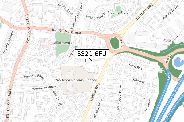
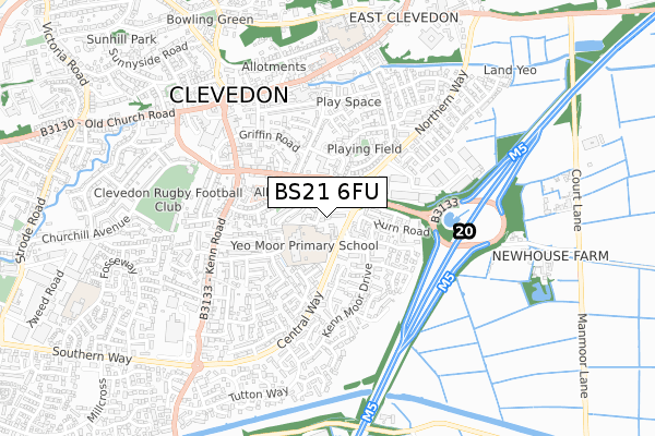
BS21 6FU maps


Licence: Open Government Licence (requires attribution)
Attribution: Contains OS data © Crown copyright and database right 2025
Source: Open Postcode Geo
Licence: Open Government Licence (requires attribution)
Attribution: Contains OS data © Crown copyright and database right 2025; Contains Royal Mail data © Royal Mail copyright and database right 2025; Source: Office for National Statistics licensed under the Open Government Licence v.3.0
BS21 6FU geodata
| Easting | 341261 |
| Northing | 170714 |
| Latitude | 51.432366 |
| Longitude | -2.846354 |
Where is BS21 6FU?
| Country | England |
| Postcode District | BS21 |
Politics
| Ward | Clevedon South |
|---|---|
| Constituency | North Somerset |
Transport
Nearest bus stops to BS21 6FU
| Yeo Moor School | East Clevedon | 81m |
| Yeo Moor School | East Clevedon | 138m |
| Beaconsfield Road (Moor Lane) | East Clevedon | 188m |
| The Chaffins | East Clevedon | 223m |
| Cherry Avenue Shops (Cherry Avenue) | East Clevedon | 260m |
Nearest railway stations to BS21 6FU
| Yatton Station | 4.8km |
Deprivation
52.9% of English postcodes are less deprived than BS21 6FU:Food Standards Agency
Three nearest food hygiene ratings to BS21 6FU (metres)


➜ Get more ratings from the Food Standards Agency
Nearest post box to BS21 6FU
| Last Collection | |||
|---|---|---|---|
| Location | Mon-Fri | Sat | Distance |
| Old Street | 17:15 | 12:30 | 553m |
| St Michaels Avenue | 17:30 | 12:45 | 564m |
| The Triangle Post Office | 17:40 | 12:00 | 590m |
Environment
| Risk of BS21 6FU flooding from rivers and sea | Low |
BS21 6FU ITL and BS21 6FU LAU
The below table lists the International Territorial Level (ITL) codes (formerly Nomenclature of Territorial Units for Statistics (NUTS) codes) and Local Administrative Units (LAU) codes for BS21 6FU:
| ITL 1 Code | Name |
|---|---|
| TLK | South West (England) |
| ITL 2 Code | Name |
| TLK1 | Gloucestershire, Wiltshire and Bath/Bristol area |
| ITL 3 Code | Name |
| TLK12 | Bath and North East Somerset, North Somerset and South Gloucestershire |
| LAU 1 Code | Name |
| E06000024 | North Somerset |
BS21 6FU census areas
The below table lists the Census Output Area (OA), Lower Layer Super Output Area (LSOA), and Middle Layer Super Output Area (MSOA) for BS21 6FU:
| Code | Name | |
|---|---|---|
| OA | E00074509 | |
| LSOA | E01014751 | North Somerset 007B |
| MSOA | E02003071 | North Somerset 007 |
Nearest postcodes to BS21 6FU
| BS21 6TA | Moor Park | 45m |
| BS21 6UG | Hill Moor | 47m |
| BS21 6SY | Central Way | 59m |
| BS21 6EJ | Moor Park | 76m |
| BS21 6EQ | Moor Park | 84m |
| BS21 6EH | Moor Park | 106m |
| BS21 5DR | Wrangle Farm Green | 138m |
| BS21 6UQ | Yeo Moor | 142m |
| BS21 6UF | Yeo Moor | 152m |
| BS21 5AH | The Chaffins | 168m |