BS1 5EL maps, stats, and open data
- Home
- Postcode
- BS
- BS1
- BS1 5
BS1 5EL is located in the Hotwells and Harbourside electoral ward, within the unitary authority of Bristol, City of and the English Parliamentary constituency of Bristol West. The Sub Integrated Care Board (ICB) Location is NHS Bristol, North Somerset and South Gloucestershire ICB - 15C and the police force is Avon and Somerset. This postcode has been in use since September 2019.
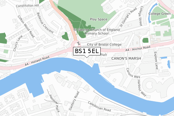
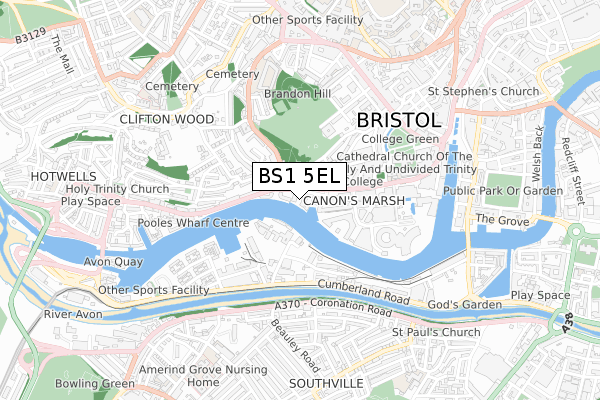
BS1 5EL maps


Source: OS Open Zoomstack (Ordnance Survey)
Licence: Open Government Licence (requires attribution)
Attribution: Contains OS data © Crown copyright and database right 2025
Source: Open Postcode GeoLicence: Open Government Licence (requires attribution)
Attribution: Contains OS data © Crown copyright and database right 2025; Contains Royal Mail data © Royal Mail copyright and database right 2025; Source: Office for National Statistics licensed under the Open Government Licence v.3.0
BS1 5EL geodata
| Easting | 357937 |
| Northing | 172500 |
| Latitude | 51.449911 |
| Longitude | -2.606697 |
Where is BS1 5EL?
| Country | England |
| Postcode District | BS1 |
Politics
| Ward | Hotwells And Harbourside |
|---|
| Constituency | Bristol West |
|---|
Transport
Nearest bus stops to BS1 5EL
| Gasferry Road (Anchor Road) | Canon's Marsh | 84m |
| Gasferry Road (Anchor Road) | Canon's Marsh | 98m |
| Maritime Museum (Gasferry Road) | Harbour | 200m |
| Jacob's Wells Road | Canon's Marsh | 242m |
| Jacob's Wells Road | Canon's Marsh | 318m |
Nearest railway stations to BS1 5EL
| Bedminster Station | 1.4km |
| Clifton Down Station | 1.7km |
| Bristol Temple Meads Station | 1.8km |
Broadband
Broadband access in BS1 5EL (2020 data)
| Percentage of properties with Next Generation Access | 100.0% |
| Percentage of properties with Superfast Broadband | 100.0% |
| Percentage of properties with Ultrafast Broadband | 100.0% |
| Percentage of properties with Full Fibre Broadband | 100.0% |
Superfast Broadband is between 30Mbps and 300Mbps
Ultrafast Broadband is > 300Mbps
Broadband limitations in BS1 5EL (2020 data)
| Percentage of properties unable to receive 2Mbps | 0.0% |
| Percentage of properties unable to receive 5Mbps | 0.0% |
| Percentage of properties unable to receive 10Mbps | 0.0% |
| Percentage of properties unable to receive 30Mbps | 0.0% |
Deprivation
53.4% of English postcodes are less deprived than
BS1 5EL:
Food Standards Agency
Three nearest food hygiene ratings to BS1 5EL (metres)
Spoke & Stringer
Brown & Bye Restaurant and Bar
Units 3 To 5 The Boat House
58m
Broken Dock
➜ Get more ratings from the Food Standards Agency
Nearest post box to BS1 5EL
| | Last Collection | |
|---|
| Location | Mon-Fri | Sat | Distance |
|---|
| St Georges Road | 17:30 | 11:30 | 151m |
| Deanery Road | 18:00 | 11:45 | 379m |
| Coronation Road | 16:45 | 12:00 | 413m |
Environment
| Risk of BS1 5EL flooding from rivers and sea | Low |
BS1 5EL ITL and BS1 5EL LAU
The below table lists the International Territorial Level (ITL) codes (formerly Nomenclature of Territorial Units for Statistics (NUTS) codes) and Local Administrative Units (LAU) codes for BS1 5EL:
| ITL 1 Code | Name |
|---|
| TLK | South West (England) |
| ITL 2 Code | Name |
|---|
| TLK1 | Gloucestershire, Wiltshire and Bath/Bristol area |
| ITL 3 Code | Name |
|---|
| TLK11 | Bristol, City of |
| LAU 1 Code | Name |
|---|
| E06000023 | Bristol, City of |
BS1 5EL census areas
The below table lists the Census Output Area (OA), Lower Layer Super Output Area (LSOA), and Middle Layer Super Output Area (MSOA) for BS1 5EL:
| Code | Name |
|---|
| OA | E00174240 | |
|---|
| LSOA | E01033350 | Bristol 032G |
|---|
| MSOA | E02003043 | Bristol 032 |
|---|
Nearest postcodes to BS1 5EL


