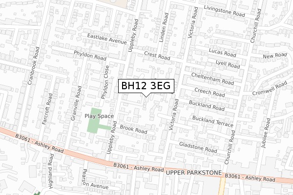
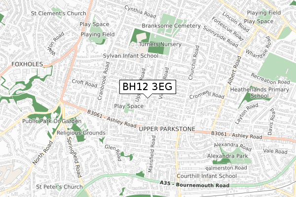
BH12 3EG is located in the Newtown & Heatherlands electoral ward, within the unitary authority of Bournemouth, Christchurch and Poole and the English Parliamentary constituency of Poole. The Sub Integrated Care Board (ICB) Location is NHS Dorset ICB - 11J and the police force is Dorset. This postcode has been in use since April 2019.


GetTheData
Source: OS Open Zoomstack (Ordnance Survey)
Licence: Open Government Licence (requires attribution)
Attribution: Contains OS data © Crown copyright and database right 2025
Source: Open Postcode Geo
Licence: Open Government Licence (requires attribution)
Attribution: Contains OS data © Crown copyright and database right 2025; Contains Royal Mail data © Royal Mail copyright and database right 2025; Source: Office for National Statistics licensed under the Open Government Licence v.3.0
| Easting | 404141 |
| Northing | 92403 |
| Latitude | 50.731219 |
| Longitude | -1.942682 |
GetTheData
Source: Open Postcode Geo
Licence: Open Government Licence
| Country | England |
| Postcode District | BH12 |
➜ See where BH12 is on a map ➜ Where is Poole? | |
GetTheData
Source: Land Registry Price Paid Data
Licence: Open Government Licence
| Ward | Newtown & Heatherlands |
| Constituency | Poole |
GetTheData
Source: ONS Postcode Database
Licence: Open Government Licence
1, ELLEN PLACE, POOLE, BH12 3EG 2021 7 OCT £349,000 |
2, ELLEN PLACE, POOLE, BH12 3EG 2021 30 JUN £345,000 |
3, ELLEN PLACE, POOLE, BH12 3EG 2021 31 MAR £345,000 |
5, ELLEN PLACE, POOLE, BH12 3EG 2020 25 SEP £325,000 |
2018 13 JUN £705,000 |
2017 7 AUG £370,000 |
2002 18 JAN £185,000 |
GetTheData
Source: HM Land Registry Price Paid Data
Licence: Contains HM Land Registry data © Crown copyright and database right 2025. This data is licensed under the Open Government Licence v3.0.
| Uppleby Road (Ashley Road) | Parkstone | 240m |
| Uppleby Road (Ashley Road) | Parkstone | 277m |
| Salisbury Road | Parkstone | 318m |
| St Johns Church | Parkstone | 341m |
| St Johns Church (Ashley Road) | Parkstone | 343m |
| Parkstone (Dorset) Station | 1km |
| Branksome Station | 1.7km |
| Poole Station | 3.2km |
GetTheData
Source: NaPTAN
Licence: Open Government Licence
GetTheData
Source: ONS Postcode Database
Licence: Open Government Licence

➜ Get more ratings from the Food Standards Agency
GetTheData
Source: Food Standards Agency
Licence: FSA terms & conditions
| Last Collection | |||
|---|---|---|---|
| Location | Mon-Fri | Sat | Distance |
| Victoria Road | 17:30 | 12:30 | 151m |
| Uppleby Road | 17:30 | 12:00 | 172m |
| Heatherland P.o. | 17:30 | 11:30 | 255m |
GetTheData
Source: Dracos
Licence: Creative Commons Attribution-ShareAlike
The below table lists the International Territorial Level (ITL) codes (formerly Nomenclature of Territorial Units for Statistics (NUTS) codes) and Local Administrative Units (LAU) codes for BH12 3EG:
| ITL 1 Code | Name |
|---|---|
| TLK | South West (England) |
| ITL 2 Code | Name |
| TLK2 | Dorset and Somerset |
| ITL 3 Code | Name |
| TLK24 | Bournemouth, Christchurch and Poole |
| LAU 1 Code | Name |
| E06000058 | Bournemouth, Christchurch and Poole |
GetTheData
Source: ONS Postcode Directory
Licence: Open Government Licence
The below table lists the Census Output Area (OA), Lower Layer Super Output Area (LSOA), and Middle Layer Super Output Area (MSOA) for BH12 3EG:
| Code | Name | |
|---|---|---|
| OA | E00078063 | |
| LSOA | E01015441 | Poole 008C |
| MSOA | E02003201 | Poole 008 |
GetTheData
Source: ONS Postcode Directory
Licence: Open Government Licence
| BH12 3AQ | Curtis Road | 55m |
| BH12 3BD | Crown Close | 66m |
| BH12 3DE | Uppleby Road | 74m |
| BH12 3DL | Cottage Gardens | 74m |
| BH12 3AA | Victoria Road | 125m |
| BH12 3BA | Victoria Road | 127m |
| BH12 3DR | Crest Road | 134m |
| BH12 3AE | Victoria Road | 137m |
| BH12 3DH | Brook Road | 138m |
| BH12 3DB | Uppleby Road | 159m |
GetTheData
Source: Open Postcode Geo; Land Registry Price Paid Data
Licence: Open Government Licence