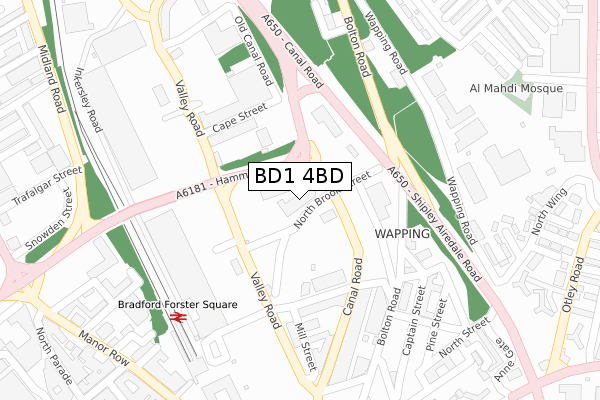
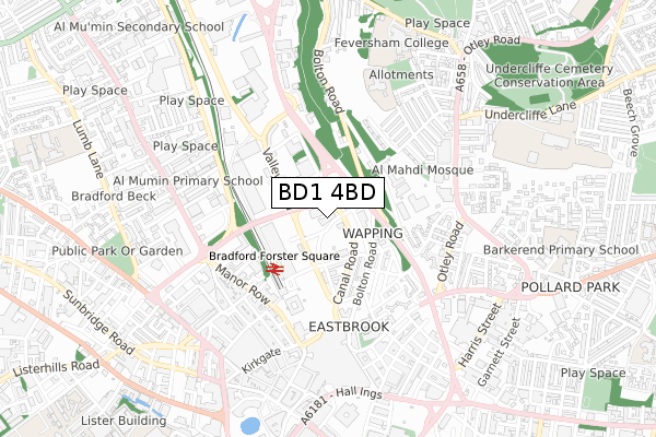
BD1 4BD is located in the City electoral ward, within the metropolitan district of Bradford and the English Parliamentary constituency of Bradford West. The Sub Integrated Care Board (ICB) Location is NHS West Yorkshire ICB - 36J and the police force is West Yorkshire. This postcode has been in use since February 2018.


GetTheData
Source: OS Open Zoomstack (Ordnance Survey)
Licence: Open Government Licence (requires attribution)
Attribution: Contains OS data © Crown copyright and database right 2025
Source: Open Postcode Geo
Licence: Open Government Licence (requires attribution)
Attribution: Contains OS data © Crown copyright and database right 2025; Contains Royal Mail data © Royal Mail copyright and database right 2025; Source: Office for National Statistics licensed under the Open Government Licence v.3.0
| Easting | 416550 |
| Northing | 433711 |
| Latitude | 53.799458 |
| Longitude | -1.750217 |
GetTheData
Source: Open Postcode Geo
Licence: Open Government Licence
| Country | England |
| Postcode District | BD1 |
➜ See where BD1 is on a map ➜ Where is Bradford? | |
GetTheData
Source: Land Registry Price Paid Data
Licence: Open Government Licence
| Ward | City |
| Constituency | Bradford West |
GetTheData
Source: ONS Postcode Database
Licence: Open Government Licence
| Canal Road Holdsworth St (Canal Road) | Bradford City Centre | 101m |
| Canal Road Holdsworth St (Canal Road) | Bradford City Centre | 113m |
| Canal Road Hamm Strasse (Canal Road) | Undercliffe | 128m |
| Valley Rd North Holme Street (Valley Road) | Bradford City Centre | 144m |
| Canal Road Hamm Strasse (Canal Road) | Undercliffe | 158m |
| Bradford Forster Square Station | 0.3km |
| Bradford Interchange Station | 0.9km |
| Frizinghall Station | 2.6km |
GetTheData
Source: NaPTAN
Licence: Open Government Licence
GetTheData
Source: ONS Postcode Database
Licence: Open Government Licence


➜ Get more ratings from the Food Standards Agency
GetTheData
Source: Food Standards Agency
Licence: FSA terms & conditions
| Last Collection | |||
|---|---|---|---|
| Location | Mon-Fri | Sat | Distance |
| Bradford Mail Centre | 19:30 | 12:45 | 400m |
| Bradford Mc Business Box | 19:15 | 401m | |
| 28 Manor Row | 18:30 | 12:30 | 405m |
GetTheData
Source: Dracos
Licence: Creative Commons Attribution-ShareAlike
| Risk of BD1 4BD flooding from rivers and sea | Medium |
| ➜ BD1 4BD flood map | |
GetTheData
Source: Open Flood Risk by Postcode
Licence: Open Government Licence
The below table lists the International Territorial Level (ITL) codes (formerly Nomenclature of Territorial Units for Statistics (NUTS) codes) and Local Administrative Units (LAU) codes for BD1 4BD:
| ITL 1 Code | Name |
|---|---|
| TLE | Yorkshire and The Humber |
| ITL 2 Code | Name |
| TLE4 | West Yorkshire |
| ITL 3 Code | Name |
| TLE41 | Bradford |
| LAU 1 Code | Name |
| E08000032 | Bradford |
GetTheData
Source: ONS Postcode Directory
Licence: Open Government Licence
The below table lists the Census Output Area (OA), Lower Layer Super Output Area (LSOA), and Middle Layer Super Output Area (MSOA) for BD1 4BD:
| Code | Name | |
|---|---|---|
| OA | E00054596 | |
| LSOA | E01033693 | Bradford 039J |
| MSOA | E02002221 | Bradford 039 |
GetTheData
Source: ONS Postcode Directory
Licence: Open Government Licence
| BD1 4AA | Valley Road | 161m |
| BD1 4AB | Mill Street | 182m |
| BD1 4DQ | Bolton Road | 203m |
| BD1 4BA | Canal Road | 252m |
| BD1 4AY | Mill Street | 259m |
| BD99 4YX | Canal Road | 269m |
| BD1 4EY | Pine Street | 291m |
| BD3 0EF | Oxford Place | 295m |
| BD1 4DR | Bolton Road | 297m |
| BD3 0EQ | Wapping Road | 322m |
GetTheData
Source: Open Postcode Geo; Land Registry Price Paid Data
Licence: Open Government Licence