Property/Postcode Data Search:
BB18 6WF maps, stats, and open data
BB18 6WF is located in the Earby & Coates electoral ward, within the local authority district of Pendle and the English Parliamentary constituency of Pendle. The Sub Integrated Care Board (ICB) Location is NHS Lancashire and South Cumbria ICB - 01A and the police force is Lancashire. This postcode has been in use since December 2019.
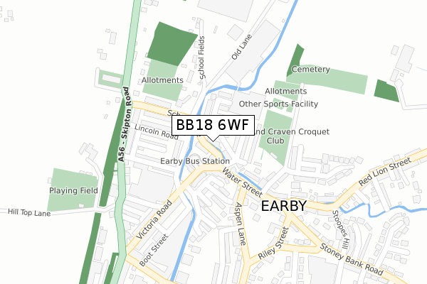
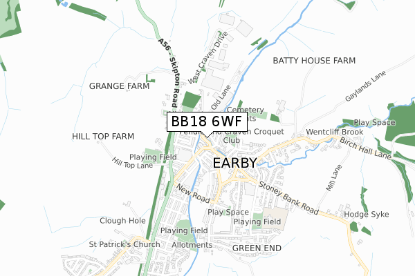
BB18 6WF maps


Source: OS Open Zoomstack (Ordnance Survey)
Licence: Open Government Licence (requires attribution)
Attribution: Contains OS data © Crown copyright and database right 2025
Source: Open Postcode Geo
Licence: Open Government Licence (requires attribution)
Attribution: Contains OS data © Crown copyright and database right 2025; Contains Royal Mail data © Royal Mail copyright and database right 2025; Source: Office for National Statistics licensed under the Open Government Licence v.3.0
Licence: Open Government Licence (requires attribution)
Attribution: Contains OS data © Crown copyright and database right 2025
Source: Open Postcode Geo
Licence: Open Government Licence (requires attribution)
Attribution: Contains OS data © Crown copyright and database right 2025; Contains Royal Mail data © Royal Mail copyright and database right 2025; Source: Office for National Statistics licensed under the Open Government Licence v.3.0
BB18 6WF geodata
| Easting | 390747 |
| Northing | 446870 |
| Latitude | 53.917903 |
| Longitude | -2.142369 |
Where is BB18 6WF?
| Country | England |
| Postcode District | BB18 |
Politics
| Ward | Earby & Coates |
|---|---|
| Constituency | Pendle |
Transport
Nearest bus stops to BB18 6WF
| School Lane | Earby | 200m |
| Victoria Road | Earby | 309m |
| Post Office (Colne Road) | Earby | 405m |
| Springfield Avenue (Stoney Bank Road) | Earby | 548m |
| Station Hotel (Colne Road) | Earby | 643m |
Deprivation
36.1% of English postcodes are less deprived than BB18 6WF:Food Standards Agency
Three nearest food hygiene ratings to BB18 6WF (metres)
Musafir

4-6 Victoria Road
49m
Village Bakery

12 Water Street
100m
S&B Fruits

14 Water Street
100m
➜ Get more ratings from the Food Standards Agency
Nearest post box to BB18 6WF
| Last Collection | |||
|---|---|---|---|
| Location | Mon-Fri | Sat | Distance |
| Orchard Cottage, Old Road | 16:00 | 10:00 | 1,704m |
| Salterforth Post Office | 17:30 | 11:15 | 2,217m |
| Ghyll Meadows | 17:30 | 11:30 | 2,390m |
Environment
| Risk of BB18 6WF flooding from rivers and sea | High |
BB18 6WF ITL and BB18 6WF LAU
The below table lists the International Territorial Level (ITL) codes (formerly Nomenclature of Territorial Units for Statistics (NUTS) codes) and Local Administrative Units (LAU) codes for BB18 6WF:
| ITL 1 Code | Name |
|---|---|
| TLD | North West (England) |
| ITL 2 Code | Name |
| TLD4 | Lancashire |
| ITL 3 Code | Name |
| TLD46 | East Lancashire |
| LAU 1 Code | Name |
| E07000122 | Pendle |
BB18 6WF census areas
The below table lists the Census Output Area (OA), Lower Layer Super Output Area (LSOA), and Middle Layer Super Output Area (MSOA) for BB18 6WF:
| Code | Name | |
|---|---|---|
| OA | E00127914 | |
| LSOA | E01025199 | Pendle 003A |
| MSOA | E02005242 | Pendle 003 |
Nearest postcodes to BB18 6WF
| BB18 6US | Victoria Road | 51m |
| BB18 6PT | Grove Street | 53m |
| BB18 6UL | Victoria Crescent | 73m |
| BB18 6QN | Shuttleworth Street | 78m |
| BB18 6QL | Lower Croft Street | 81m |
| BB18 6PN | Back Water Street | 82m |
| BB18 6QJ | Valley Road | 88m |
| BB18 6QP | Water Street | 93m |
| BB18 6QW | Waddington Street | 97m |
| BB18 6QG | Old Lane | 122m |