BA2 1FD maps, stats, and open data
- Home
- Postcode
- BA
- BA2
- BA2 1
BA2 1FD is located in the Twerton electoral ward, within the unitary authority of Bath and North East Somerset and the English Parliamentary constituency of Bath. The Sub Integrated Care Board (ICB) Location is NHS Bath and North East Somerset, Swindon and Wiltshire ICB - 92 and the police force is Avon and Somerset. This postcode has been in use since November 2017.
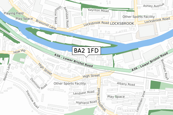
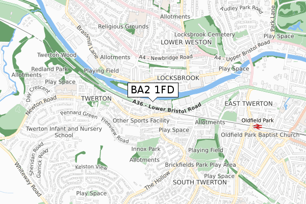
BA2 1FD maps


Source: OS Open Zoomstack (Ordnance Survey)
Licence: Open Government Licence (requires attribution)
Attribution: Contains OS data © Crown copyright and database right 2025
Source: Open Postcode GeoLicence: Open Government Licence (requires attribution)
Attribution: Contains OS data © Crown copyright and database right 2025; Contains Royal Mail data © Royal Mail copyright and database right 2025; Source: Office for National Statistics licensed under the Open Government Licence v.3.0
BA2 1FD geodata
| Easting | 372767 |
| Northing | 164735 |
| Latitude | 51.381002 |
| Longitude | -2.392692 |
Where is BA2 1FD?
| Country | England |
| Postcode District | BA2 |
Politics
| Ward | Twerton |
|---|
| Constituency | Bath |
|---|
Transport
Nearest bus stops to BA2 1FD
| Twerton Mill | Twerton | 38m |
| Shophouse Road (High Street) | Twerton | 118m |
| Shophouse Road | Twerton | 147m |
| Dolphin Inn (Locksbrook Road) | Locksbrook | 181m |
| Osborne Road (Brassmill Lane) | Locksbrook | 202m |
Nearest railway stations to BA2 1FD
| Oldfield Park Station | 0.9km |
| Bath Spa Station | 2.5km |
Broadband
Broadband access in BA2 1FD (2020 data)
| Percentage of properties with Next Generation Access | 100.0% |
| Percentage of properties with Superfast Broadband | 100.0% |
| Percentage of properties with Ultrafast Broadband | 0.0% |
| Percentage of properties with Full Fibre Broadband | 0.0% |
Superfast Broadband is between 30Mbps and 300Mbps
Ultrafast Broadband is > 300Mbps
Broadband limitations in BA2 1FD (2020 data)
| Percentage of properties unable to receive 2Mbps | 0.0% |
| Percentage of properties unable to receive 5Mbps | 0.0% |
| Percentage of properties unable to receive 10Mbps | 0.0% |
| Percentage of properties unable to receive 30Mbps | 0.0% |
Deprivation
88.4% of English postcodes are less deprived than
BA2 1FD:
Food Standards Agency
Three nearest food hygiene ratings to BA2 1FD (metres)
Archway Cafe
Sound Church
McDonalds
➜ Get more ratings from the Food Standards Agency
Nearest post box to BA2 1FD
| | Last Collection | |
|---|
| Location | Mon-Fri | Sat | Distance |
|---|
| Twerton On Avon | 17:30 | 12:00 | 177m |
| High Street | 17:30 | 12:15 | 264m |
| Locksbrook Road | 17:15 | 11:45 | 264m |
Environment
| Risk of BA2 1FD flooding from rivers and sea | Medium |
BA2 1FD ITL and BA2 1FD LAU
The below table lists the International Territorial Level (ITL) codes (formerly Nomenclature of Territorial Units for Statistics (NUTS) codes) and Local Administrative Units (LAU) codes for BA2 1FD:
| ITL 1 Code | Name |
|---|
| TLK | South West (England) |
| ITL 2 Code | Name |
|---|
| TLK1 | Gloucestershire, Wiltshire and Bath/Bristol area |
| ITL 3 Code | Name |
|---|
| TLK12 | Bath and North East Somerset, North Somerset and South Gloucestershire |
| LAU 1 Code | Name |
|---|
| E06000022 | Bath and North East Somerset |
BA2 1FD census areas
The below table lists the Census Output Area (OA), Lower Layer Super Output Area (LSOA), and Middle Layer Super Output Area (MSOA) for BA2 1FD:
| Code | Name |
|---|
| OA | E00073048 | |
|---|
| LSOA | E01014464 | Bath and North East Somerset 011D |
|---|
| MSOA | E02002995 | Bath and North East Somerset 011 |
|---|
Nearest postcodes to BA2 1FD


