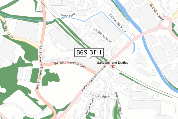
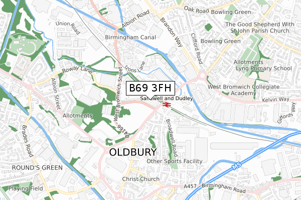
B69 3FH is located in the Oldbury electoral ward, within the metropolitan district of Sandwell and the English Parliamentary constituency of West Bromwich West. The Sub Integrated Care Board (ICB) Location is NHS Black Country ICB - D2P2L and the police force is West Midlands. This postcode has been in use since October 2018.


GetTheData
Source: OS Open Zoomstack (Ordnance Survey)
Licence: Open Government Licence (requires attribution)
Attribution: Contains OS data © Crown copyright and database right 2025
Source: Open Postcode Geo
Licence: Open Government Licence (requires attribution)
Attribution: Contains OS data © Crown copyright and database right 2025; Contains Royal Mail data © Royal Mail copyright and database right 2025; Source: Office for National Statistics licensed under the Open Government Licence v.3.0
| Easting | 399162 |
| Northing | 290121 |
| Latitude | 52.508996 |
| Longitude | -2.013771 |
GetTheData
Source: Open Postcode Geo
Licence: Open Government Licence
| Country | England |
| Postcode District | B69 |
➜ See where B69 is on a map ➜ Where is Oldbury? | |
GetTheData
Source: Land Registry Price Paid Data
Licence: Open Government Licence
| Ward | Oldbury |
| Constituency | West Bromwich West |
GetTheData
Source: ONS Postcode Database
Licence: Open Government Licence
| Bromford Rd (Fountain Lane) | Oldbury | 65m |
| Sandwell & Dudley Station (Bromford Road) | Oldbury | 93m |
| Sandwell & Dudley Station (Bromford Road) | Oldbury | 128m |
| Century Rd (Bromford Road) | Oldbury | 170m |
| West Bromwich St (Fountain Lane) | Brades Village | 211m |
| Dartmouth Street (Midland Metro Stop) (Dartmouth St) | Lamberts End | 1,423m |
| Lodge Road-west Bromwich Town Hall (Metro Stop) (Lodge Rd) | Lamberts End | 1,438m |
| West Bromwich Central (Midland Metro Stop) (West Bromwich Ringway) | West Bromwich | 1,544m |
| Sandwell & Dudley Station | 0.2km |
| Langley Green Station | 1.8km |
| Smethwick Galton Bridge Station | 2.4km |
GetTheData
Source: NaPTAN
Licence: Open Government Licence
GetTheData
Source: ONS Postcode Database
Licence: Open Government Licence

➜ Get more ratings from the Food Standards Agency
GetTheData
Source: Food Standards Agency
Licence: FSA terms & conditions
| Last Collection | |||
|---|---|---|---|
| Location | Mon-Fri | Sat | Distance |
| West Bromwich St | 17:30 | 12:00 | 564m |
| 6 Simpson St Birmingham St | 17:30 | 12:00 | 643m |
| Margaret Street | 17:30 | 12:00 | 873m |
GetTheData
Source: Dracos
Licence: Creative Commons Attribution-ShareAlike
| Risk of B69 3FH flooding from rivers and sea | Low |
| ➜ B69 3FH flood map | |
GetTheData
Source: Open Flood Risk by Postcode
Licence: Open Government Licence
The below table lists the International Territorial Level (ITL) codes (formerly Nomenclature of Territorial Units for Statistics (NUTS) codes) and Local Administrative Units (LAU) codes for B69 3FH:
| ITL 1 Code | Name |
|---|---|
| TLG | West Midlands (England) |
| ITL 2 Code | Name |
| TLG3 | West Midlands |
| ITL 3 Code | Name |
| TLG37 | Sandwell |
| LAU 1 Code | Name |
| E08000028 | Sandwell |
GetTheData
Source: ONS Postcode Directory
Licence: Open Government Licence
The below table lists the Census Output Area (OA), Lower Layer Super Output Area (LSOA), and Middle Layer Super Output Area (MSOA) for B69 3FH:
| Code | Name | |
|---|---|---|
| OA | E00050666 | |
| LSOA | E01010017 | Sandwell 024A |
| MSOA | E02002066 | Sandwell 024 |
GetTheData
Source: ONS Postcode Directory
Licence: Open Government Licence
| B69 4BD | Broadwell Road | 117m |
| B69 3DX | Kellner Gardens | 149m |
| B70 7JB | Bromford Road | 151m |
| B69 3BH | Fountain Lane | 181m |
| B69 4AU | Mckean Road | 189m |
| B69 4AS | Century Road | 195m |
| B69 4AW | Century Road | 206m |
| B69 4AY | Mckean Road | 218m |
| B69 4BH | Bromford Road | 241m |
| B69 3AZ | West Bromwich Street | 258m |
GetTheData
Source: Open Postcode Geo; Land Registry Price Paid Data
Licence: Open Government Licence