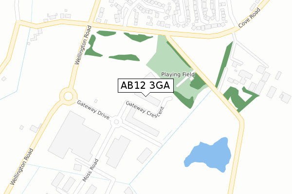
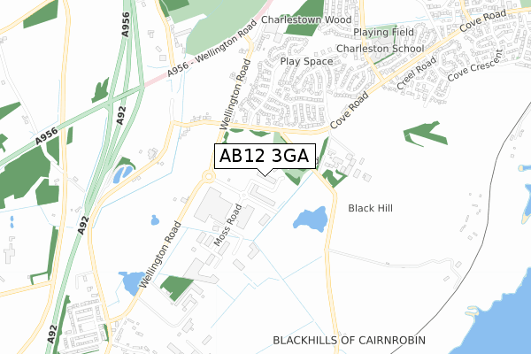
AB12 3GA is located in the Kincorth/Nigg/Cove electoral ward, within the council area of Aberdeen City and the Scottish Parliamentary constituency of Aberdeen South. The Community Health Partnership is Aberdeen City Community Health Partnership and the police force is Scotland. This postcode has been in use since May 2014.


GetTheData
Source: OS Open Zoomstack (Ordnance Survey)
Licence: Open Government Licence (requires attribution)
Attribution: Contains OS data © Crown copyright and database right 2024
Source: Open Postcode Geo
Licence: Open Government Licence (requires attribution)
Attribution: Contains OS data © Crown copyright and database right 2024; Contains Royal Mail data © Royal Mail copyright and database right 2024; Source: Office for National Statistics licensed under the Open Government Licence v.3.0
| Easting | 393913 |
| Northing | 800114 |
| Latitude | 57.091960 |
| Longitude | -2.102088 |
GetTheData
Source: Open Postcode Geo
Licence: Open Government Licence
| Country | Scotland |
| Postcode District | AB12 |
| ➜ AB12 open data dashboard ➜ See where AB12 is on a map ➜ Where is Aberdeen? | |
GetTheData
Source: Land Registry Price Paid Data
Licence: Open Government Licence
| Ward | Kincorth/Nigg/Cove |
| Constituency | Aberdeen South |
GetTheData
Source: ONS Postcode Database
Licence: Open Government Licence
| Charleston Drive (Cove Road) | Cove Bay | 180m |
| Charleston Drive (Cove Road) | Cove Bay | 192m |
| Moss Road (Gateway Drive) | Cove Bay | 222m |
| Moss Road (Gateway Drive) | Cove Bay | 244m |
| Lochinch Way (Charleston Drive) | Cove Bay | 290m |
| Portlethen Station | 3.7km |
GetTheData
Source: NaPTAN
Licence: Open Government Licence
GetTheData
Source: ONS Postcode Database
Licence: Open Government Licence


➜ Get more ratings from the Food Standards Agency
GetTheData
Source: Food Standards Agency
Licence: FSA terms & conditions
| Last Collection | |||
|---|---|---|---|
| Location | Mon-Fri | Sat | Distance |
| Charlestone Cross Roads | 17:45 | 13:15 | 430m |
| Marywell Caravan Site | 17:45 | 13:15 | 614m |
| Charleston Road | 17:45 | 13:15 | 652m |
GetTheData
Source: Dracos
Licence: Creative Commons Attribution-ShareAlike
The below table lists the International Territorial Level (ITL) codes (formerly Nomenclature of Territorial Units for Statistics (NUTS) codes) and Local Administrative Units (LAU) codes for AB12 3GA:
| ITL 1 Code | Name |
|---|---|
| TLM | Scotland |
| ITL 2 Code | Name |
| TLM5 | North Eastern Scotland |
| ITL 3 Code | Name |
| TLM50 | Aberdeen City and Aberdeenshire |
| LAU 1 Code | Name |
| S30000026 | Aberdeen City |
GetTheData
Source: ONS Postcode Directory
Licence: Open Government Licence
The below table lists the Census Output Area (OA), Lower Layer Super Output Area (LSOA), and Middle Layer Super Output Area (MSOA) for AB12 3GA:
| Code | Name | |
|---|---|---|
| OA | S00090404 | |
| LSOA | S01006608 | Kincorth, Leggart and Nigg South - 01 |
| MSOA | S02001254 | Kincorth, Leggart and Nigg South |
GetTheData
Source: ONS Postcode Directory
Licence: Open Government Licence