Where is Llanfigael?
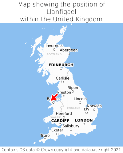
Llanfigael is located in the county of Gwynedd, Wales, five miles east of the town of Holyhead, 62 miles west of the major town of Birkenhead, 139 miles north of Cardiff, 190 miles south of Edinburgh, and 223 miles north-west of London. Llanfigael was historically in the county of Anglesey. Llanfigael falls within the unitary authority of Sir Ynys Mon - Isle of Anglesey. It is in the LL65 postcode district. The post town for Llanfigael is Holyhead.
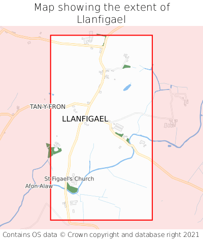
Llanfigael on a map


Which county is Llanfigael in?
Llanfigael is in the ceremonial county of Gwynedd, the historic county of Anglesey, and the administrative county of Sir Ynys Mon - Isle of Anglesey.
| Ceremonial County | Gwynedd |
|---|---|
| Historic County | Anglesey |
| Administrative County | Sir Ynys Mon - Isle of Anglesey |
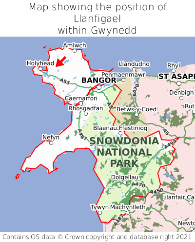
Where is Llanfigael in Gwynedd?
Llanfigael is situated towards the northernmost extremity of Gwynedd, and towards the westernmost extremity of Gwynedd.

What is the postcode for Llanfigael?
The nearest postcode to the centre of Llanfigael is LL65 4DD.
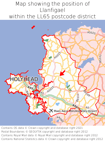
Where is Llanfigael in LL65?
Llanfigael is situated roughly centrally between the southernmost and northernmost extremities of the LL65 postcode district, and roughly centrally between the easternmost and westernmost extremities of the LL65 postcode district.

What is the post town for Llanfigael?
The post town for Llanfigael is Holyhead. Llanfigael is in the LL65 postcode district, which corresponds to the post town of Holyhead.
What is the latitude and longitude of Llanfigael?
The centre of Llanfigael is located at position 53.32075° latitude and -4.50956° longitude.
| Latitude | 53.32075° |
|---|---|
| Longitude | -4.50956° |
What is the easting and northing of Llanfigael?
The centre of Llanfigael is located at the grid reference easting 232941 and northing 383362 within the British National Grid (OSGB36) system.
| Easting | 232941 |
|---|---|
| Northing | 383362 |
What are the nearest towns to Llanfigael?
Position of Llanfigael relative to nearby towns. Distance is measured from the centre of Llanfigael to the centre of the town.
What are the nearest cities to Llanfigael?
Position of Llanfigael relative to nearby cities. Distance is measured from the centre of Llanfigael to the centre of the city.