STEVE THOMAS CYF
STEVE THOMAS CYF is an active private limited company, incorporated on 5 November 2018. The nature of the business is Dormant Company. The company's registered office is on Mayfield Place, Pontyclun. The company's accounts were last made up to 31 January 2023, are next due on 31 October 2024, and fall under the accounts category: Dormant. STEVE THOMAS CYF has no previous names. The company has no mortgage charges, outstanding or otherwise.
Company Information
| Company Number | 11658689 |
|---|
| Company Category | Private Limited Company |
|---|
| Company Status | Active |
|---|
| Incorporation Date | 05/11/2018 |
|---|
| Country of Origin | United Kingdom |
|---|
Registered Office
| Address Line 1 | PANT-Y-FEDWEN MAYFIELD PLACE |
|---|
| Address Line 2 | LLANTRISANT |
|---|
| Post Town | PONTYCLUN |
|---|
| County | RHONDDA CYNON TAF |
|---|
| Country | UNITED KINGDOM |
|---|
| Postcode | CF72 8QG |
|---|
Accounts
| Accounting Reference Date | 31st January |
|---|
| Accounts Next Due Date | 31/10/2024 |
|---|
| Accounts Last Made Up Date | 31/01/2023 |
|---|
| Accounts Category | DORMANT |
|---|
Confirmation Statement
| Next Due Date | 18/11/2024 |
|---|
| Last Made Up Date | 04/11/2023 |
|---|
Return
| Next Due Date | 03/12/2019 |
|---|
| Last Made Up Date | Not available |
|---|
Mortgages
| Number of Mortgage Charges | 0 |
|---|
| Number of Outstanding Charges | 0 |
|---|
| Number of Satisfied Charges | 0 |
|---|
| Number of Partially Satisfied Charges | 0 |
|---|
Nature of Business (SIC Codes)
Company Name History
From incorporation onwards:
STEVE THOMAS CYF
Directors
(The company's officers)
STEVE THOMAS
(~48 year old Welsh national)
PANT-Y-FEDWEN MAYFIELD PLACE, LLANTRISANT, PONTYCLUN, RHONDDA CYNON TAF, CF72 8QG, UNITED KINGDOM
- Current Director
- Gives occupation as COMPANY DIRECTOR
- Usually resident in UNITED KINGDOM
Appointed on 05/11/2018
Licence: Supplied under section 47 and 50 of the Copyright, Designs and Patents Act 1988 and Schedule 1 of the Database Regulations (SI 1997/3032)
STEVE THOMAS CYF: Maps
Maps show the location of the postcode of the registered office, CF72 8QG.
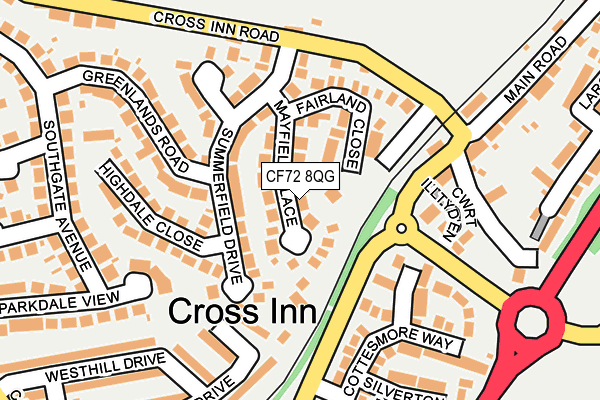
Map of STEVE THOMAS CYF at local scale
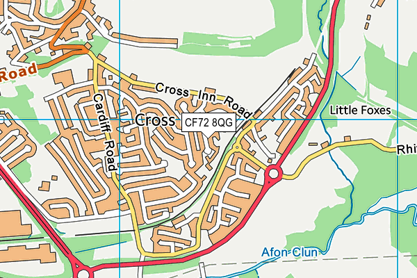
Map of STEVE THOMAS CYF at district scale