PIO SOAPS LTD
PIO SOAPS LTD is an active private limited company, incorporated on 30 August 2013. The nature of the business is Other manufacturing n.e.c.. The company's registered office is on Stainforth Street, Nottingham. The company's accounts were last made up to 31 August 2022, are next due on 31 May 2024, and fall under the accounts category: Micro Entity. PIO SOAPS LTD has no previous names. The company has no mortgage charges, outstanding or otherwise.
Company Information
| Company Number | 08669010 |
|---|
| Company Category | Private Limited Company |
|---|
| Company Status | Active |
|---|
| Incorporation Date | 30/08/2013 |
|---|
| Country of Origin | United Kingdom |
|---|
Registered Office
| Address Line 1 | 39 STAINFORTH STREET |
|---|
| Address Line 2 | MANSFIELD WOODHOUSE MANSFIELD |
|---|
| Post Town | NOTTINGHAM |
|---|
| County | NOTTINGHAMSHIRE |
|---|
| Postcode | NG19 9AP |
|---|
Accounts
| Accounting Reference Date | 31st August |
|---|
| Accounts Next Due Date | 31/05/2024 |
|---|
| Accounts Last Made Up Date | 31/08/2022 |
|---|
| Accounts Category | MICRO ENTITY |
|---|
Confirmation Statement
| Next Due Date | 13/09/2024 |
|---|
| Last Made Up Date | 30/08/2023 |
|---|
Return
| Next Due Date | 27/09/2016 |
|---|
| Last Made Up Date | 30/08/2015 |
|---|
Mortgages
| Number of Mortgage Charges | 0 |
|---|
| Number of Outstanding Charges | 0 |
|---|
| Number of Satisfied Charges | 0 |
|---|
| Number of Partially Satisfied Charges | 0 |
|---|
Nature of Business (SIC Codes)
32990 - Other manufacturing n.e.c.
Company Name History
From incorporation onwards:
PIO SOAPS LTD
Directors
(The company's officers)
MS LISA ALISON NEGUS
(~59 year old British national)
39 STAINFORTH STREET, MANSFIELD WOODHOUSE MANSFIELD, NOTTINGHAM, NOTTINGHAMSHIRE, NG19 9AP, ENGLAND
- Current Director
- Gives occupation as COMPANY DIRECTOR
- Usually resident in UNITED KINGDOM
Appointed on 30/08/2013
Licence: Supplied under section 47 and 50 of the Copyright, Designs and Patents Act 1988 and Schedule 1 of the Database Regulations (SI 1997/3032)
PIO SOAPS LTD: Maps
Maps show the location of the postcode of the registered office, NG19 9AP.
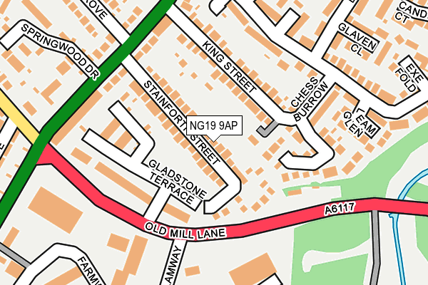
Map of PIO SOAPS LTD at local scale
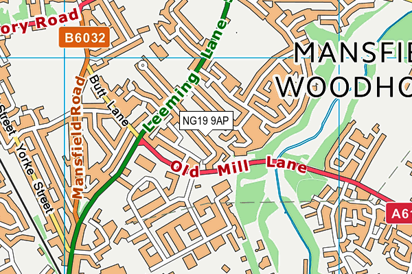
Map of PIO SOAPS LTD at district scale