OKE TREE NETWORK LLP
OKE TREE NETWORK LLP is an active limited liability partnership, incorporated on 21 October 2022. The company's registered office is on Fox Close, Okehampton. The company's accounts were last made up to 31 March 2023, are next due on 31 December 2024, and fall under the accounts category: Dormant. OKE TREE NETWORK LLP has no previous names. The company has no mortgage charges, outstanding or otherwise.
Company Information
| Company Number | OC444352 |
|---|
| Company Category | Limited Liability Partnership |
|---|
| Company Status | Active |
|---|
| Incorporation Date | 21/10/2022 |
|---|
| Country of Origin | United Kingdom |
|---|
Registered Office
| Address Line 1 | 8 FOX CLOSE |
|---|
| Post Town | OKEHAMPTON |
|---|
| County | DEVON |
|---|
| Postcode | EX20 1ST |
|---|
Accounts
| Accounting Reference Date | 31st March |
|---|
| Accounts Next Due Date | 31/12/2024 |
|---|
| Accounts Last Made Up Date | 31/03/2023 |
|---|
| Accounts Category | DORMANT |
|---|
Confirmation Statement
| Next Due Date | 03/11/2024 |
|---|
| Last Made Up Date | 20/10/2023 |
|---|
Return
| Next Due Date | 18/11/2023 |
|---|
| Last Made Up Date | Not available |
|---|
Mortgages
| Number of Mortgage Charges | 0 |
|---|
| Number of Outstanding Charges | 0 |
|---|
| Number of Satisfied Charges | 0 |
|---|
| Number of Partially Satisfied Charges | 0 |
|---|
Nature of Business (SIC Codes)
Company Name History
From incorporation onwards:
OKE TREE NETWORK LLP
Directors
(The company's officers)
ELIZABETH VICTORIA HOOPER
(~50 years old)
8 FOX CLOSE, OKEHAMPTON, DEVON, EX20 1ST
- Current designated LLP Member
- Usually resident in UNITED KINGDOM
Appointed on 21/10/2022
MR JAMIE ROWAN SNOWDON
(~26 year old British national)
8 FOX CLOSE, OKEHAMPTON, DEVON, EX20 1ST, UNITED KINGDOM
- Current designated LLP Member
- Usually resident in ENGLAND
Appointed on 21/10/2022
Licence: Supplied under section 47 and 50 of the Copyright, Designs and Patents Act 1988 and Schedule 1 of the Database Regulations (SI 1997/3032)
OKE TREE NETWORK LLP: Maps
Maps show the location of the postcode of the registered office, EX20 1ST.
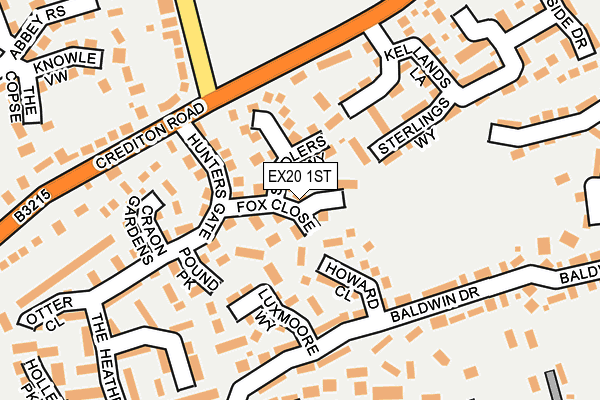
Map of OKE TREE NETWORK LLP at local scale
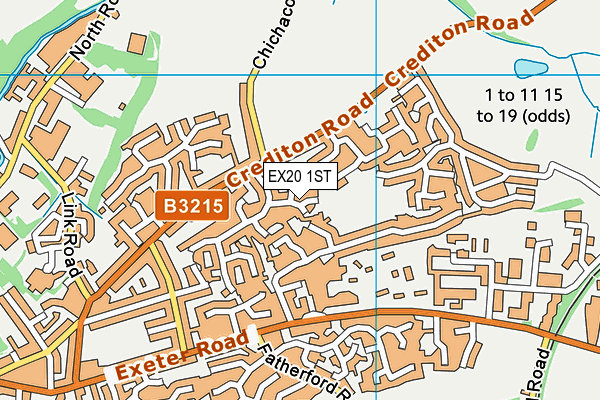
Map of OKE TREE NETWORK LLP at district scale