KAM SCAFFOLDING LTD
KAM SCAFFOLDING LTD is an active private limited company, incorporated on 23 October 2006. The nature of the business is Scaffold erection. The company's registered office is on The Furrells, Cambridge. The company's accounts were last made up to 31 March 2023, are next due on 31 December 2024, and fall under the accounts category: Micro Entity. KAM SCAFFOLDING LTD has no previous names. The company has one mortgage charge, which is currently outstanding.
Company Information
| Company Number | 05974843 |
|---|
| Company Category | Private Limited Company |
|---|
| Company Status | Active |
|---|
| Incorporation Date | 23/10/2006 |
|---|
| Country of Origin | United Kingdom |
|---|
Registered Office
| Address Line 1 | 1 THE FURRELLS |
|---|
| Address Line 2 | LINTON |
|---|
| Post Town | CAMBRIDGE |
|---|
| Postcode | CB21 4JJ |
|---|
Accounts
| Accounting Reference Date | 31st March |
|---|
| Accounts Next Due Date | 31/12/2024 |
|---|
| Accounts Last Made Up Date | 31/03/2023 |
|---|
| Accounts Category | MICRO ENTITY |
|---|
Confirmation Statement
| Next Due Date | 06/11/2024 |
|---|
| Last Made Up Date | 23/10/2023 |
|---|
Return
| Next Due Date | 20/11/2016 |
|---|
| Last Made Up Date | 23/10/2015 |
|---|
Mortgages
| Number of Mortgage Charges | 1 |
|---|
| Number of Outstanding Charges | 1 |
|---|
| Number of Satisfied Charges | 0 |
|---|
| Number of Partially Satisfied Charges | 0 |
|---|
Nature of Business (SIC Codes)
43991 - Scaffold erection
Company Name History
From incorporation onwards:
KAM SCAFFOLDING LTD
Directors
(The company's officers)
MR KEITH ANDREW MANNION
(~47 year old British national)
1 THE FURRELLS, LINTON, CAMBRIDGE, CB21 4JJ, UNITED KINGDOM
- Current Director
- Gives occupation as SCAFFOLDER
- Usually resident in UNITED KINGDOM
Appointed on 11/08/2011
Connections
(Shared officers)
Licence: Supplied under section 47 and 50 of the Copyright, Designs and Patents Act 1988 and Schedule 1 of the Database Regulations (SI 1997/3032)
KAM SCAFFOLDING LTD: Maps
Maps show the location of the postcode of the registered office, CB21 4JJ.
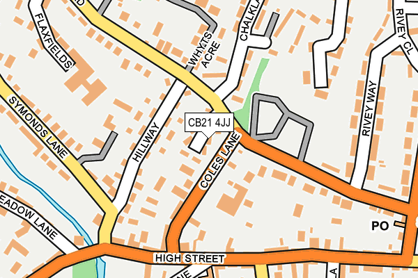
Map of KAM SCAFFOLDING LTD at local scale
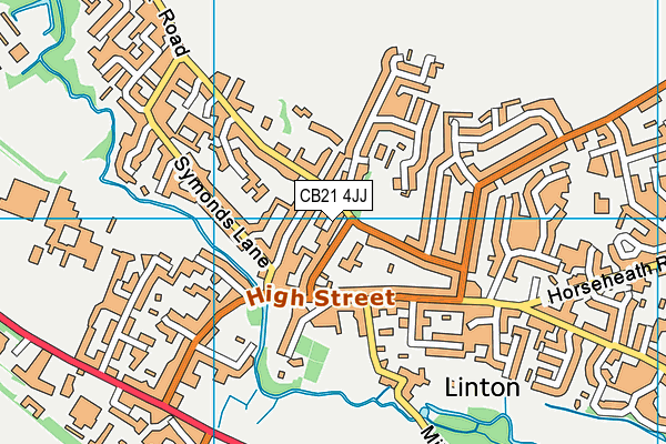
Map of KAM SCAFFOLDING LTD at district scale