J.E.F ELECTRICAL LTD
J.E.F ELECTRICAL LTD is an active private limited company, incorporated on 1 September 2017. The nature of the business is Electrical installation. The company's registered office is on The Drive, Stockton-on-tees. The company's accounts were last made up to 30 September 2022, are next due on 30 June 2024, and fall under the accounts category: Micro Entity. J.E.F ELECTRICAL LTD has no previous names. The company has no mortgage charges, outstanding or otherwise.
Company Information
| Company Number | 10942970 |
|---|
| Company Category | Private Limited Company |
|---|
| Company Status | Active |
|---|
| Incorporation Date | 01/09/2017 |
|---|
| Country of Origin | United Kingdom |
|---|
Registered Office
| Address Line 1 | BALLANTRAE THE DRIVE |
|---|
| Address Line 2 | THORNABY |
|---|
| Post Town | STOCKTON-ON-TEES |
|---|
| Country | ENGLAND |
|---|
| Postcode | TS17 0AG |
|---|
Accounts
| Accounting Reference Date | 30th September |
|---|
| Accounts Next Due Date | 30/06/2024 |
|---|
| Accounts Last Made Up Date | 30/09/2022 |
|---|
| Accounts Category | MICRO ENTITY |
|---|
Confirmation Statement
| Next Due Date | 18/05/2024 |
|---|
| Last Made Up Date | 04/05/2023 |
|---|
Return
| Next Due Date | 29/09/2018 |
|---|
| Last Made Up Date | Not available |
|---|
Mortgages
| Number of Mortgage Charges | 0 |
|---|
| Number of Outstanding Charges | 0 |
|---|
| Number of Satisfied Charges | 0 |
|---|
| Number of Partially Satisfied Charges | 0 |
|---|
Nature of Business (SIC Codes)
43210 - Electrical installation
Company Name History
From incorporation onwards:
J.E.F ELECTRICAL LTD
Directors
(The company's officers)
MR JOHN FERGUSON
(~43 year old English national)
BALLANTRAE THE DRIVE, THORNABY, STOCKTON-ON-TEES, TS17 0AG, ENGLAND
- Current Director
- Gives occupation as DIRECTOR
- Usually resident in ENGLAND
Appointed on 01/09/2017
Licence: Supplied under section 47 and 50 of the Copyright, Designs and Patents Act 1988 and Schedule 1 of the Database Regulations (SI 1997/3032)
J.E.F ELECTRICAL LTD: Maps
Maps show the location of the postcode of the registered office, TS17 0AG.
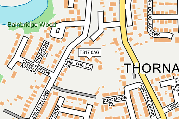
Map of J.E.F ELECTRICAL LTD at local scale
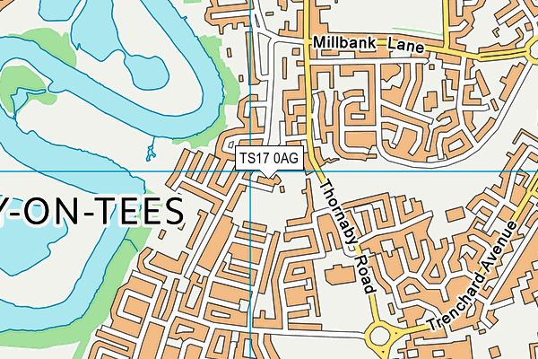
Map of J.E.F ELECTRICAL LTD at district scale