HIGH HARRWOOD LIMITED
HIGH HARRWOOD LIMITED is an active private limited company, incorporated on 9 April 2005. The nature of the business is Other service activities n.e.c.. The company's registered office is on Stevens Road, Cromer. The company's accounts were last made up to 30 April 2023, are next due on 31 January 2025, and fall under the accounts category: Micro Entity. HIGH HARRWOOD LIMITED has no previous names. The company has no mortgage charges, outstanding or otherwise.
Company Information
| Company Number | 05420279 |
|---|
| Company Category | Private Limited Company |
|---|
| Company Status | Active |
|---|
| Incorporation Date | 09/04/2005 |
|---|
| Country of Origin | United Kingdom |
|---|
Registered Office
| Address Line 1 | 12 STEVENS ROAD |
|---|
| Post Town | CROMER |
|---|
| County | NORFOLK |
|---|
| Postcode | NR27 0HZ |
|---|
Accounts
| Accounting Reference Date | 30th April |
|---|
| Accounts Next Due Date | 31/01/2025 |
|---|
| Accounts Last Made Up Date | 30/04/2023 |
|---|
| Accounts Category | MICRO ENTITY |
|---|
Confirmation Statement
| Next Due Date | 23/04/2024 |
|---|
| Last Made Up Date | 09/04/2023 |
|---|
Return
| Next Due Date | 07/05/2017 |
|---|
| Last Made Up Date | 09/04/2016 |
|---|
Mortgages
| Number of Mortgage Charges | 0 |
|---|
| Number of Outstanding Charges | 0 |
|---|
| Number of Satisfied Charges | 0 |
|---|
| Number of Partially Satisfied Charges | 0 |
|---|
Nature of Business (SIC Codes)
96090 - Other service activities n.e.c.
Company Name History
From incorporation onwards:
HIGH HARRWOOD LIMITED
Directors
(The company's officers)
SCOTT CARPENTER
(~50 year old British national)
12 STEVENS ROAD, CROMER, NORFOLK, NR27 0HZ, ENGLAND
- Current Director
- Gives occupation as COMPANY DIRECTOR
- Usually resident in ENGLAND
Appointed on 09/04/2005
Shareholders
(Persons of Significant Control)
Mr Scott Carpenter
(~50 year old British national)
12, Stevens Road, Cromer, Norfolk, NR27 0HZ
- Owns between 75% and 100% of the shares.
Notified on 09/04/2017
Licence: Supplied under section 47 and 50 of the Copyright, Designs and Patents Act 1988 and Schedule 1 of the Database Regulations (SI 1997/3032)
HIGH HARRWOOD LIMITED: Maps
Maps show the location of the postcode of the registered office, NR27 0HZ.
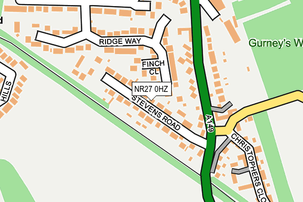
Map of HIGH HARRWOOD LIMITED at local scale
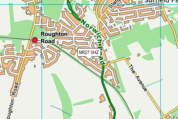
Map of HIGH HARRWOOD LIMITED at district scale