HANLEY 1950 LIMITED
HANLEY 1950 LIMITED is an active private limited company, incorporated on 8 October 2013. The nature of the business is Dormant Company. The company's registered office is on Hanly Court, Great Yarmouth. The company's accounts were last made up to 8 October 2023, are next due on 8 July 2025, and fall under the accounts category: Dormant. HANLEY 1950 LIMITED has no previous names. The company has no mortgage charges, outstanding or otherwise.
Company Information
| Company Number | 08722953 |
|---|
| Company Category | Private Limited Company |
|---|
| Company Status | Active |
|---|
| Incorporation Date | 08/10/2013 |
|---|
| Country of Origin | United Kingdom |
|---|
Registered Office
| Address Line 1 | 3 HANLY COURT |
|---|
| Address Line 2 | CAISTER-ON-SEA |
|---|
| Post Town | GREAT YARMOUTH |
|---|
| County | NORFOLK |
|---|
| Postcode | NR30 5XB |
|---|
Accounts
| Accounting Reference Date | 8th October |
|---|
| Accounts Next Due Date | 08/07/2025 |
|---|
| Accounts Last Made Up Date | 08/10/2023 |
|---|
| Accounts Category | DORMANT |
|---|
Confirmation Statement
| Next Due Date | 22/10/2024 |
|---|
| Last Made Up Date | 08/10/2023 |
|---|
Return
| Next Due Date | 05/11/2016 |
|---|
| Last Made Up Date | 08/10/2015 |
|---|
Mortgages
| Number of Mortgage Charges | 0 |
|---|
| Number of Outstanding Charges | 0 |
|---|
| Number of Satisfied Charges | 0 |
|---|
| Number of Partially Satisfied Charges | 0 |
|---|
Nature of Business (SIC Codes)
Company Name History
From incorporation onwards:
HANLEY 1950 LIMITED
Directors
(The company's officers)
MR JEFFREY WARREN WOITHE
(~73 year old British national)
3 HANLY COURT, CAISTER-ON-SEA, GREAT YARMOUTH, NORFOLK, NR30 5XB, ENGLAND
- Current Director
- Gives occupation as ENGINEER
- Usually resident in ENGLAND
Appointed on 08/10/2013
Licence: Supplied under section 47 and 50 of the Copyright, Designs and Patents Act 1988 and Schedule 1 of the Database Regulations (SI 1997/3032)
HANLEY 1950 LIMITED: Maps
Maps show the location of the postcode of the registered office, NR30 5XB.
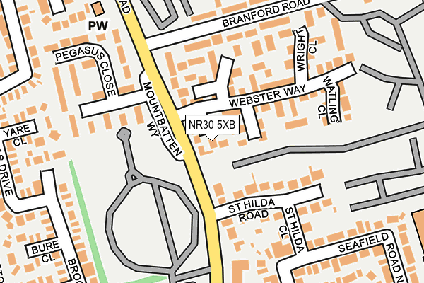
Map of HANLEY 1950 LIMITED at local scale
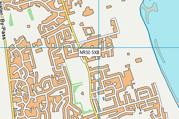
Map of HANLEY 1950 LIMITED at district scale