CLARENCE ROAD 1963 LIMITED
CLARENCE ROAD 1963 LIMITED is an active private limited company, incorporated on 17 July 2014. The nature of the business is Dormant Company. The company's registered office is on Clarence Road, Torpoint. The company's accounts were last made up to 17 July 2023, are next due on 17 April 2025, and fall under the accounts category: Dormant. CLARENCE ROAD 1963 LIMITED has no previous names. The company has no mortgage charges, outstanding or otherwise.
Company Information
| Company Number | 09136374 |
|---|
| Company Category | Private Limited Company |
|---|
| Company Status | Active |
|---|
| Incorporation Date | 17/07/2014 |
|---|
| Country of Origin | United Kingdom |
|---|
Registered Office
| Address Line 1 | 22 CLARENCE ROAD |
|---|
| Post Town | TORPOINT |
|---|
| County | CORNWALL |
|---|
| Postcode | PL11 2LS |
|---|
Accounts
| Accounting Reference Date | 17th July |
|---|
| Accounts Next Due Date | 17/04/2025 |
|---|
| Accounts Last Made Up Date | 17/07/2023 |
|---|
| Accounts Category | DORMANT |
|---|
Confirmation Statement
| Next Due Date | 31/07/2024 |
|---|
| Last Made Up Date | 17/07/2023 |
|---|
Return
| Next Due Date | 14/08/2016 |
|---|
| Last Made Up Date | 17/07/2015 |
|---|
Mortgages
| Number of Mortgage Charges | 0 |
|---|
| Number of Outstanding Charges | 0 |
|---|
| Number of Satisfied Charges | 0 |
|---|
| Number of Partially Satisfied Charges | 0 |
|---|
Nature of Business (SIC Codes)
Company Name History
From incorporation onwards:
CLARENCE ROAD 1963 LIMITED
Directors
(The company's officers)
MR PAUL ANTHONY CASEY
(~61 year old British national)
22 CLARENCE ROAD, TORPOINT, CORNWALL, PL11 2LS, ENGLAND
- Current Director
- Gives occupation as SUPPORT WORKER
- Usually resident in ENGLAND
Appointed on 17/07/2014
Licence: Supplied under section 47 and 50 of the Copyright, Designs and Patents Act 1988 and Schedule 1 of the Database Regulations (SI 1997/3032)
CLARENCE ROAD 1963 LIMITED: Maps
Maps show the location of the postcode of the registered office, PL11 2LS.
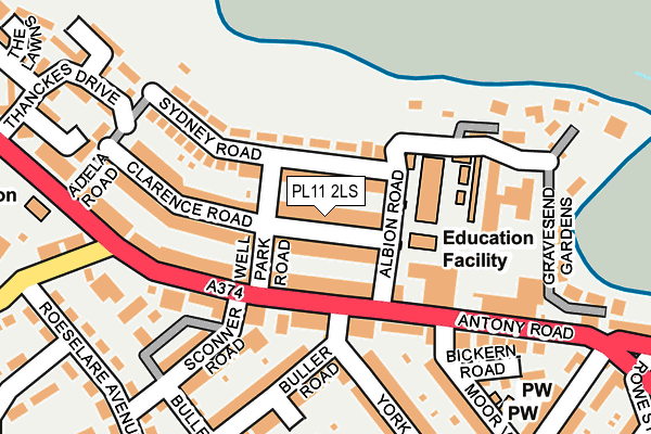
Map of CLARENCE ROAD 1963 LIMITED at local scale
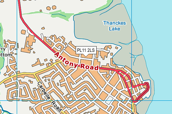
Map of CLARENCE ROAD 1963 LIMITED at district scale